14 m away
Vignettes Hut to Schönbiel Hut via Tête de Valpelline
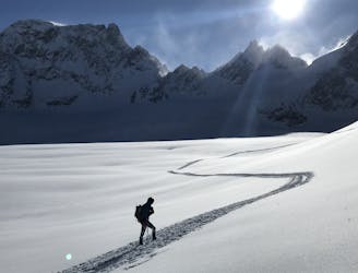
The best day of the most famous ski tour in the world
Difficult Ski Touring
- Distance
- 21 km
- Ascent
- 1.7 km
- Descent
- 2.2 km

THE big day on the classic Haute Route all the way to Zermatt
Ski Touring Difficult

An early start and good visibility are essential for this big day all the way to Zermatt. Take crevasse rescue kit in your group and have recently practised prussiking and crevasse rescue. A minimum would be 30m ropes x 2 in the group, and each person to carry a long sling, 3 screwgate karabiners, prussiks and an ice screw. Mechanical devices such as minitraxion, tibloc and ropeman can make it a lot easier.
Leave the Vignettes Hut and return along the northern flank of the ridge to the Col des Vignettes before heading south to the large glacial plateau of the Col de Charmotane. Climb the Glacier du Mont Collon passing under a rock buttress to reach the Col de l'Evéque. Ski down towards the next steepening passing a steeper crevassed zone on the right. Continue down onto the Haute Glacier d'Arolla and refix the skins to climb up towards the Col du Mont Brulé. This steep section is climbed on foot, giving access to the Haute Glacier de Tsa de Tsan and is one of the more technical sections of the Haute Route. Keep a highish line on the left swinging beneath the cliffs of the Tête Blanche to reach the Col de Valpelline. From here you may find parties joining on the left from the Tete Blanche, having opted for a variation via the Bertol Hut which remains a good way to split quite a long day.
From the Col de Valpelline it's all down hill to Zermatt. First ski down the Stockji glacier taking a line to a flatter section on the left hand side. From here the line can be intricate following some narrow sections between the crevasses. Traverse to the south picking the best line to join the Tiefmatten glacierd. This section involves passing under a large serac band high above and is no place to hesitate for any length of time, and it is wise to ski well away on the flatter section to hug the rocks ahead on the left hand side of the glacier. There is often debris from previous serac falls here so be on your guard for big chunks of ice. Keep descending the glacier close to the rocks on the left. Just below a small rock island on the right traverse hard right in a sweeping arch under the north face of the Dent d'Hérens. This allows you to maintain a bit of height and ski the impressive Zmutt glacier on the right bank all the way down to Stafel. All that remains is the track leading into the Zermatt ski area and a descent under the Matterhorn via the pistes, down into the town itself.
Difficult
Serious gradient of 30-38 degrees where a real risk of slipping exists.
14 m away

The best day of the most famous ski tour in the world
Difficult Ski Touring
4.9 km away
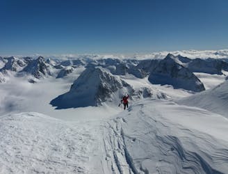
One of the major days on the classic Haute Route traversing the Pigne d'Arolla
Difficult Ski Touring
9.2 km away
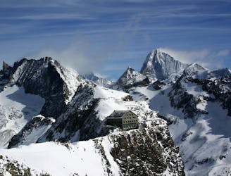
A modern variation via Les Portons and Pigne d'Arolla
Difficult Ski Touring
9.5 km away
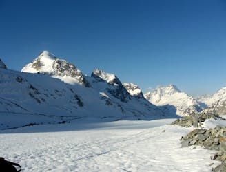
An uphill segment up a glacier of Himalayan proportions
Difficult Ski Touring
7 routes · Ski Touring
6 routes · Ski Touring
7 routes · Ski Touring