23 m away
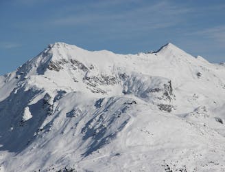
Haute Route Imperiale: Turtmann Hut to Tracuit Hut via Brunegghorn
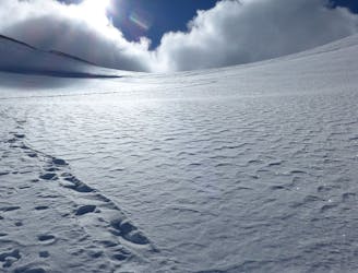
Day 2: Turtmann Hut to Tracuit Hut via Brunegghorn
Difficult Ski Touring
- Distance
- 13 km
- Ascent
- 1.8 km
- Descent
- 1.1 km
Straight line from Turtmanhutte hut to Tracuit hut
Ski Touring Difficult

This is a popular ski touring route which is generally considered to be difficult. It's very remote, it features medium exposure (e2) and is typically done between March and April. From a low point of 2.5 km to the maximum altitude of 3.6 km, the route covers 7.2 km, 1366 vertical metres of ascent and 248 vertical metres of descent. It's graded 3.1 and Labande grade 3. You'll need rope, skins, ice axe, crampons and glacier kit to complete it safely.
Plan
Difficult
Serious gradient of 30-38 degrees where a real risk of slipping exists.

As well as the slope itself, there are some obstacles (such as rock outcrops) which could aggravate injury.

Little chance of being seen or helped in case of an accident.
23 m away
Day 2: Turtmann Hut to Tracuit Hut via Brunegghorn
Difficult Ski Touring
3.7 km away
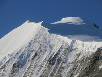
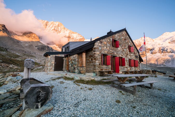
Day 3: Our high point of the week, the Bishorn at 4153m, followed by descent and one reascent to the Arpitettaz Hut at 2786m
Severe Ski Touring
3.7 km away

Well acclimatised now you can relish this ascent of one of the highest peaks in the Alps you can get to on skins.
Difficult Ski Touring
6.8 km away
A relatively easy day after the previous two, but every bit as spectacular.
Difficult Ski Touring
6.8 km away
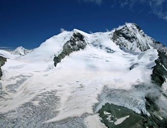
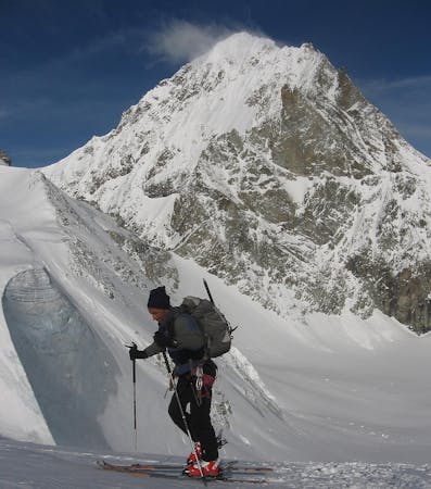
Day 4: Traverse of Blanc de Moming then to the Mountet Hut
Severe Ski Touring
9.5 km away
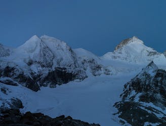
Day 1: Lift assisted approach to the Turtman Hut from St Luc
Severe Ski Touring
5 routes · Ski Touring
5 routes · Ski Touring