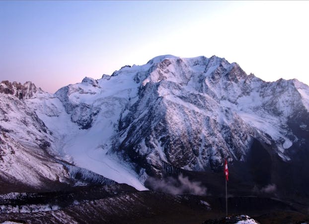
Les Grands Montets to Trient Hut
The first day of the Alps' most famous ski tour
Difficult Ski Touring
- Distance
- 11 km
- Ascent
- 1.2 km
- Descent
- 1.3 km
The first day of the Grand Lui variation.
Also in Haute-Savoie, France
Ski Touring Difficult

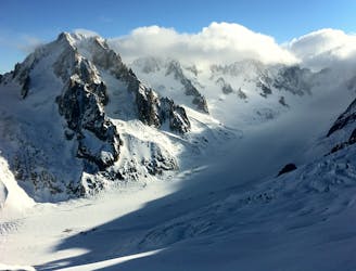
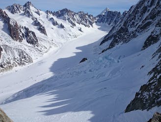
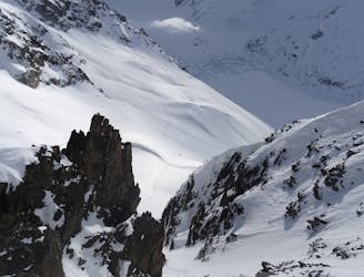
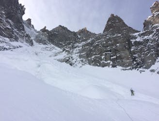
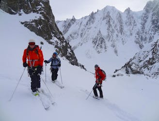
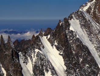
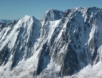
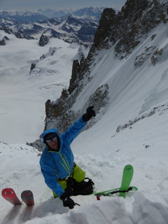
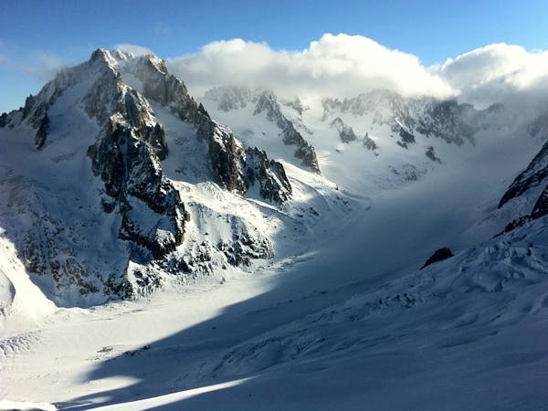
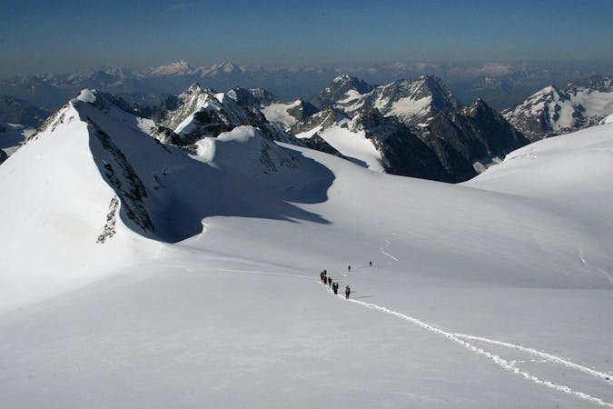
The normal start for the Haute Route Grand Lui variation takes the lift to the summit of Les Grands Montets, skiing from the Col des Grands Montets. This is a long and committing day and many parties opt for an early start from the Argentiere Hut. Start with a defensive side slip down the initial section before skiing down the Glacier des Rognons run, head to the right of the conspicuous rock rognon. During the ski touring season you can expect a well covered glacier but the crevasse zones are ever present on this serious glacier run. Reach the flatter Argentiere Glacier and cross almost directly climbing steeply up the glacier to the right of it's centre. A crevassed zone is often avoided by trending left into the centre of the glacier before the angle eases to reach the Col du Chardonnet. The opposite side is steep and often requires abseils (2 x 40m ropes recommended as a minimum).
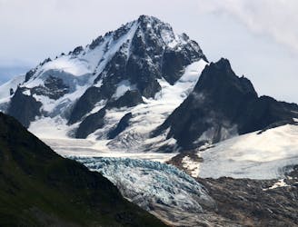
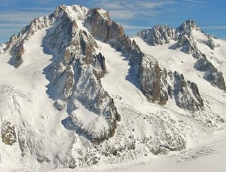
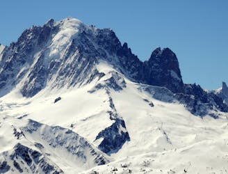
Ski down the Glacier de Saleina before trending right, most likely away from the crowds, to climb the hidden slopes to the east of the summit of the Grand Lui. A final steeper climb leads towards the Col de la Grand Lui as marked on the Swiss "Martigny" map (normally reached on foot due to steep rocky ground). Note on the French map this is marked as Col de Saleina. In addition the dotted blue ski line on the French map is marked in the wrong place here! On the other side start the descent to the south before swinging to the east to avoid a steeper crevassed zone sticking close under he Pointe des Essettes, to reach the Cabane de l'A Neuve. A variety of lines can be taken below the hut on some steep open slopes, finally reaching La Fouly. Most groups will stay in La Fouly and get public transport or a taxi to Bourg St Pierre for the next stage. For the purists it's possible to link La Fouly and Bourg St Pierre with the Great St Bernard Hospice.
Difficult
Serious gradient of 30-38 degrees where a real risk of slipping exists.

As well as the slope itself, there are some obstacles (such as rock outcrops) which could aggravate injury.

In the high mountains or remote conditions, all individuals must be completely autonomous in every situation.
The first day of the Alps' most famous ski tour
Difficult Ski Touring
Stunning views and the first leg of the famous Chamonix-Zermatt Haute Route
Moderate Ski Touring
A slightly steeper alternative to the Col du Tour Noir
Moderate Ski Touring
A prominent and sought after summit at 3900 meters yet it remains much more accessible than the other major peaks of the Argentière Basin.
Severe Ski Touring
0 m away
One of THE classic tours of the area taking in a variety of high quality ski terrain.
Moderate Ski Touring
1.1 km away
The king line of the Argentiere Basin
Extreme Ski Touring
2.5 km away
A spectacular hanging couloir, this line is a 1000m TD alpine route that has seen only three known descents
Extreme Ski Touring
3.2 km away
One of the lowest angle ski tours in the Argentiere basin, to a fabulous viewpoint.
Moderate Ski Touring
3.3 km away
A mythical line down the true north face of Les Courtes, it has still seen hardly more than a handful of descents.
Extreme Ski Touring
3.5 km away
Yet another big 5.4 in the Argentiere Basin
Extreme Ski Touring
5 routes · Freeride Skiing · Ski Touring
7 routes · Ski Touring

10 routes · Freeride Skiing · Ski Touring
6 routes · Ski Touring
7 routes · Ski Touring