708 m away
Col du Tour Noir
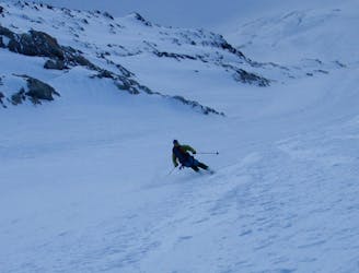
One of the lowest angle ski tours in the Argentiere basin, to a fabulous viewpoint.
Moderate Ski Touring
- Distance
- 7.1 km
- Ascent
- 826 m
- Descent
- 826 m
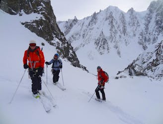
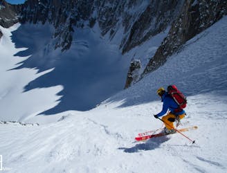
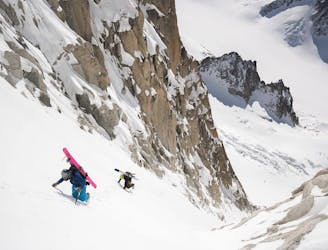
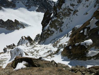
A spectacular hanging couloir, this line is a 1000m TD alpine route that has seen only three known descents
Ski Touring Extreme

When viewed from the Argentiere Glacier the upper hanging slopes of the north-east side of the Col Armand Charlet offer a dramatic and tantalising setting in which to make turns. However, the upper slope is guarded by three pitches of technical ice and mixed terrain. The line is very steep and sustained and rarely in condition. There have been three known descents, first by Emanuel Ballot in 1993, then Davide Capozzi, Julian Herry and Luca Rolli in 2013 and most recently Ben Briggs, Jesper Peterson and Mikko Heimonen in 2016.
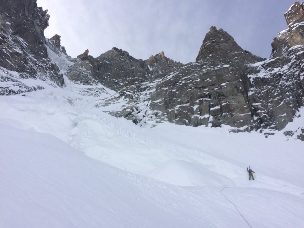
From the top of the Grand Montets cable car, ski down the very start of the Point du Vue piste before quickly ducking the rope and heading skier's right. Take the high traverse across the Glacier des Rognons and around the lowest toe of rock coming down from the Aiguille Verte. Skin up towards the bottom of the Col Armand Charlet. The maximum difficulty of the climbing was reported to be grade 4+ ice or M4-5 depending on the line taken. This normally requires three abseils on the descent.
Extreme
Extreme skiing terrain above 45 degrees. These routes are reserved for experienced experts.

In case of a fall, the skier faces certain death.
In the high mountains or remote conditions, all individuals must be completely autonomous in every situation.
708 m away
One of the lowest angle ski tours in the Argentiere basin, to a fabulous viewpoint.
Moderate Ski Touring
857 m away
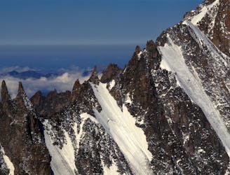
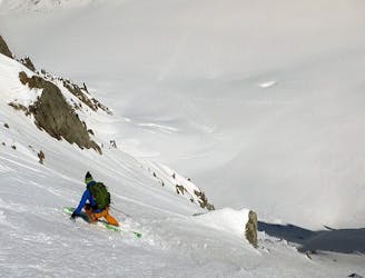
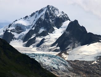
A mythical line down the true north face of Les Courtes, it has still seen hardly more than a handful of descents.
Extreme Ski Touring
1.2 km away
Yet another big 5.4 in the Argentiere Basin
Extreme Ski Touring
1.2 km away

An inspiring couloir past a bulging tongue of ice.
Extreme Ski Touring
1.4 km away
A great introduction to the steep north faces of the Argentière Basin.
Extreme Ski Touring
1.5 km away
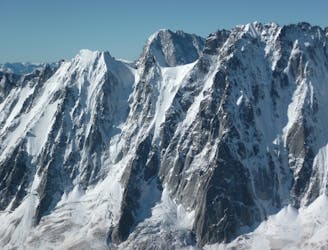
A beautiful wide and open steep ski face, one of the most popular of the Argentière Basin's celebrated North Faces. Shorter than the rest but steep and exposed in the upper half.
Extreme Ski Touring
2 km away
A truly inconic ski face, THE line of the Argentière Basin
Extreme Ski Touring
2.1 km away
A fantastic route which is surely on every steep skier's tick list
Extreme Ski Touring
2.3 km away
A very rewarding descent amongst beautiful granite formations, but not easy to find in good condition.
Extreme Ski Touring
2.5 km away
Stunning views and the first leg of the famous Chamonix-Zermatt Haute Route
Moderate Ski Touring

10 routes · Freeride Skiing · Ski Touring