855 m away
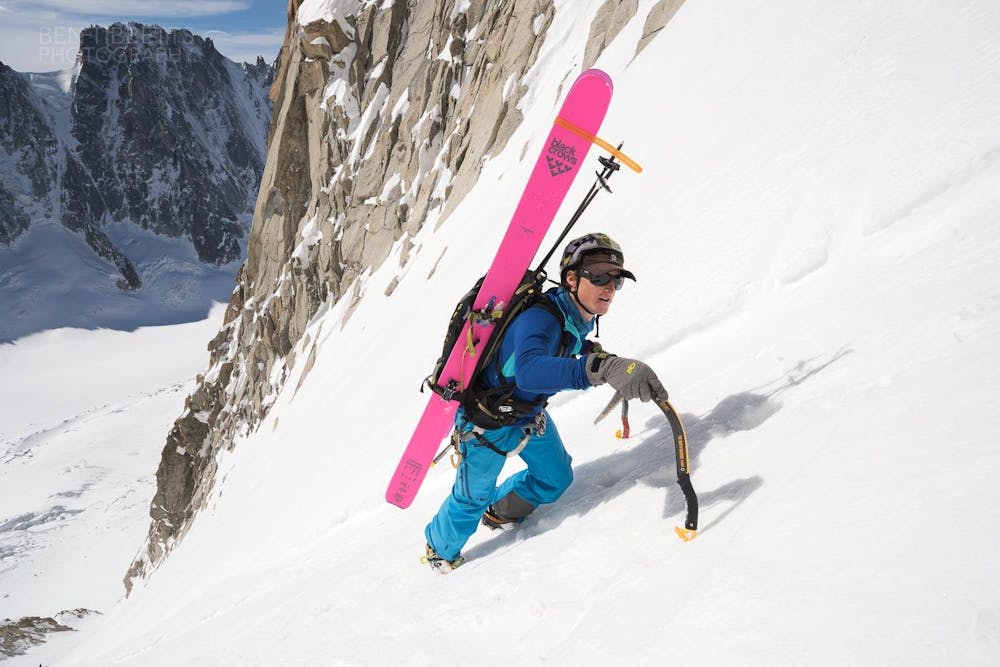
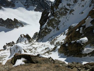
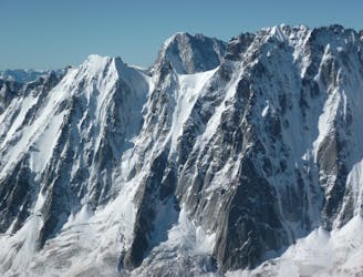
Aiguille du Argentière, Couloir Barbey
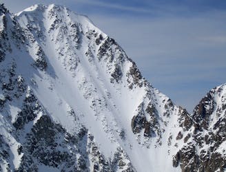
One of the best steep faces in the area and a much sought after descent
Extreme Ski Touring
- Distance
- 2.1 km
- Ascent
- 39 m
- Descent
- 873 m
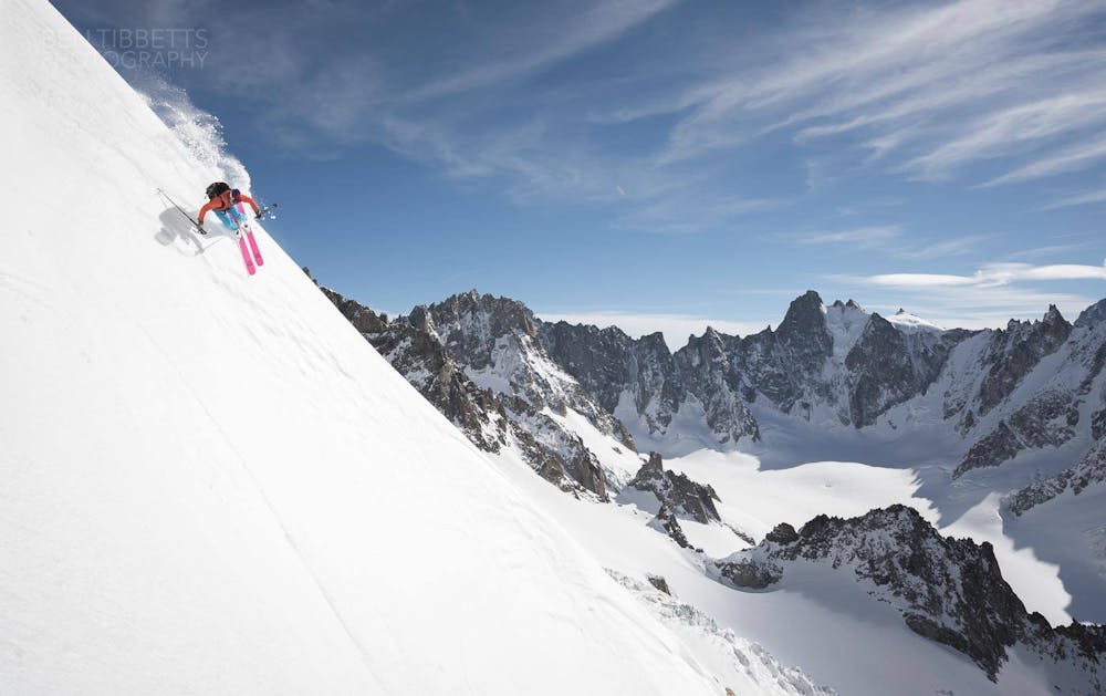
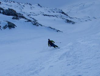
A fantastic route which is surely on every steep skier's tick list
Ski Touring Extreme

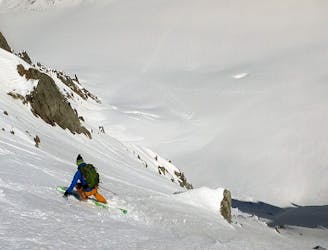
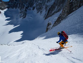
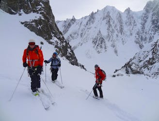
Although the Y Couloir is one of the most frequently descended steep lines in the Argentière Basin, it is still a demanding undertaking.
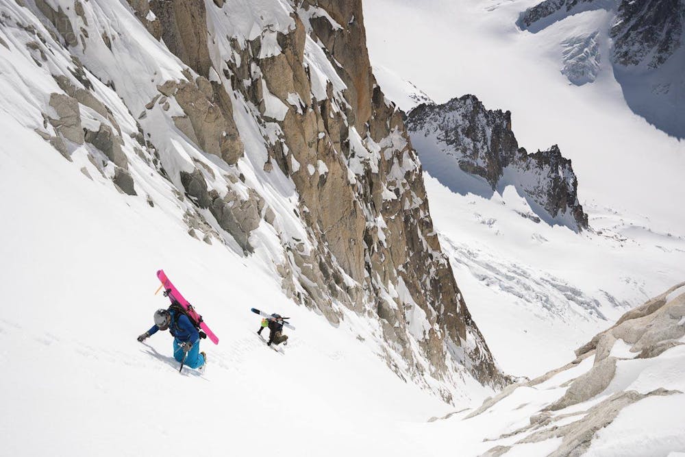

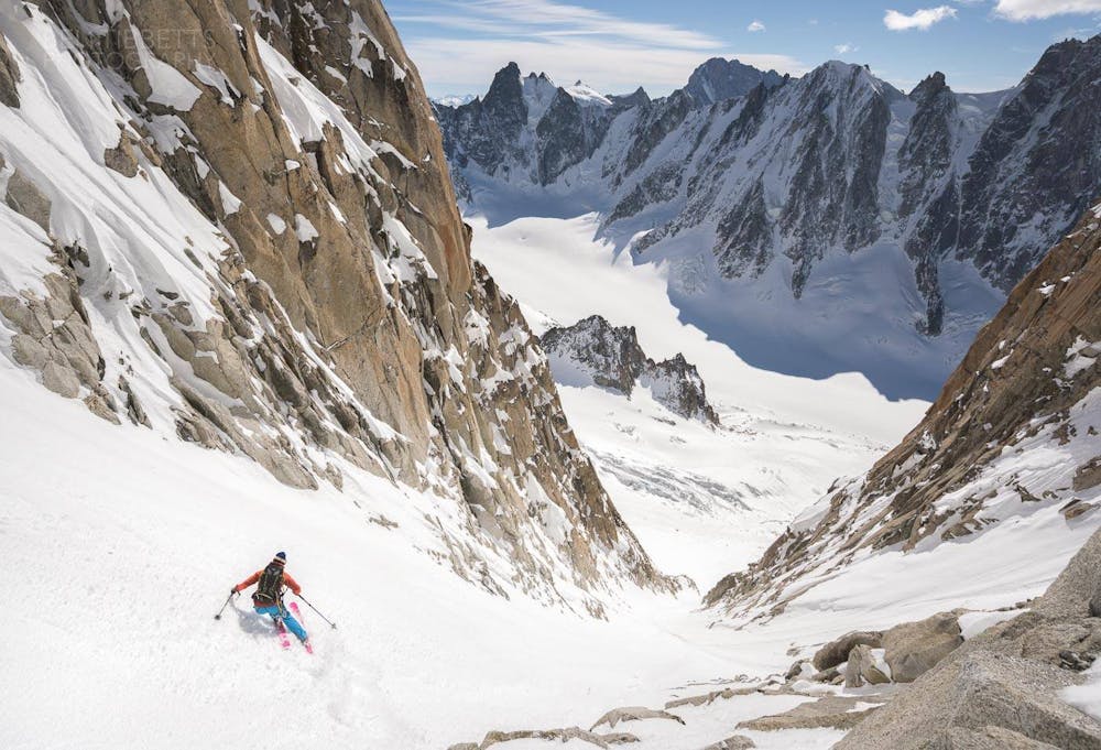
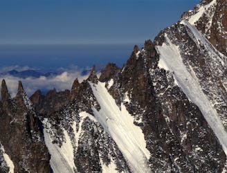
From the top of the Grand Montets cable car, ski down the very start of the Point du Vue piste before quickly ducking the rope and heading skier's right and down the Glacier du Rognons. Take care to watch out for some large crevasses on the upper section. Keep to skier's right of the Rognon itself (a large rock island). Alternatively it is often possible to keep a high traverse on the Glacier du Rognons, weaving in and around crevasses and small seracs with the odd bit of sidestepping. This route saves twenty minutes or so of skinning up the Glacier d'Argentière. There are two good options for skiing the Couloir Y; on-sight via the Glacier du Milieu, or by climbing the couloir itself. The Milieu is a slog but is slightly technically easier to climb. If going via the Milieu, continue to the summit of the Aiguille d'Argentière. It is possible to ski both branches of the 'Y'. They are both around the same level of difficulty to ski. The entrance of the skiers R branch is the steepest section at 50 degrees. The direct branch faces true south for its entire length meaning the sun stays on it longer. For the direct branch, crampon down the ridge to the left until at a small notch above the couloir entrance. A short down climb or abseil into the couloir is sometimes needed. At the bottom of the Y Couloir a 30 meter abseil is needed to pass the rock step and bergschrund and there are two in-situ anchors in place to choose from. If you prefer to climb the line, skin up the Glacier des Amethystes to approach the bottom of the line. There is normally a small ice or mixed step at the bottom (two ice axes can be useful). After descending the couloir, continue down the Glacier d'Argentière and out all the way back to Lognan.
Extreme
Extreme skiing terrain above 45 degrees. These routes are reserved for experienced experts.

In case of a fall, death is highly likely.

In the high mountains or remote conditions, all individuals must be completely autonomous in every situation.
855 m away
One of the best steep faces in the area and a much sought after descent
Extreme Ski Touring
1.3 km away
A beautiful wide and open steep ski face, one of the most popular of the Argentière Basin's celebrated North Faces. Shorter than the rest but steep and exposed in the upper half.
Extreme Ski Touring
1.4 km away
A great introduction to the steep north faces of the Argentière Basin.
Extreme Ski Touring
1.4 km away

An inspiring couloir past a bulging tongue of ice.
Extreme Ski Touring
1.6 km away
A mythical line down the true north face of Les Courtes, it has still seen hardly more than a handful of descents.
Extreme Ski Touring
1.6 km away
A very rewarding descent amongst beautiful granite formations, but not easy to find in good condition.
Extreme Ski Touring
1.7 km away
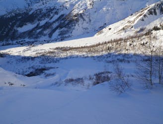
A classic high mountain excursion, the Trois Cols is a fantastic journey through three major glacial basins.
Moderate Ski Touring
1.7 km away
One of the lowest angle ski tours in the Argentiere basin, to a fabulous viewpoint.
Moderate Ski Touring
1.8 km away
A truly inconic ski face, THE line of the Argentière Basin
Extreme Ski Touring
1.9 km away
Yet another big 5.4 in the Argentiere Basin
Extreme Ski Touring

10 routes · Freeride Skiing · Ski Touring