187 m away
Col des Cristaux
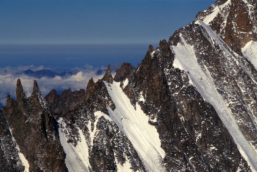
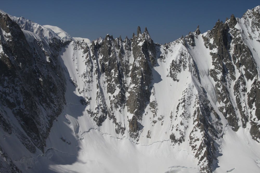
A great introduction to the steep north faces of the Argentière Basin.
Extreme Ski Touring
- Distance
- 5.4 km
- Ascent
- 739 m
- Descent
- 739 m
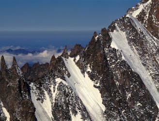
An inspiring couloir past a bulging tongue of ice.
Ski Touring Extreme

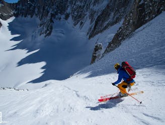
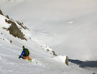
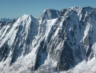
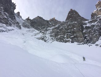
The Aiguille Qui-Remue North Face is a sought after descent that is less often in condition than some of the other north facing lines nearby.
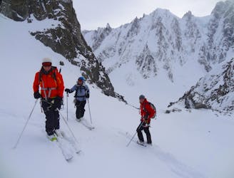
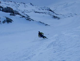
From the top of the Grand Montets cable car, ski down the very start of the Point du Vue piste before quickly ducking the rope and heading skier's right and down the Glacier du Rognons. Take care to watch out for some large crevasses on the upper section. Keep to skier's right of the Rognon itself (a large rock island). This soon brings you down onto the Glacier d'Argentière.
Skin up the glacier to the bottom of the Qui-Remue North Face. The first half is the steepest section (50 degrees) and finding a way past the ice bulge may be delicate. The upper slopes are less steep (around 45 degrees).
It is possible to top out the face via three different exits. The far looker's left side is the least steep and most often in condition. Ski back down the same way and out onto the Glacier d'Argentière.
Extreme
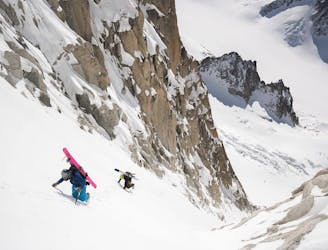
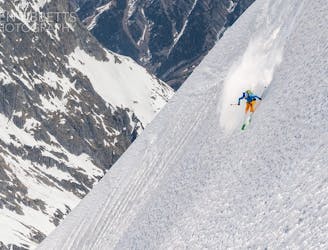
Extreme skiing terrain above 45 degrees. These routes are reserved for experienced experts.

In case of a fall, the skier faces certain death.
In the high mountains or remote conditions, all individuals must be completely autonomous in every situation.
187 m away
A great introduction to the steep north faces of the Argentière Basin.
Extreme Ski Touring
273 m away
A beautiful wide and open steep ski face, one of the most popular of the Argentière Basin's celebrated North Faces. Shorter than the rest but steep and exposed in the upper half.
Extreme Ski Touring
330 m away
A mythical line down the true north face of Les Courtes, it has still seen hardly more than a handful of descents.
Extreme Ski Touring
456 m away
Yet another big 5.4 in the Argentiere Basin
Extreme Ski Touring
480 m away
One of the lowest angle ski tours in the Argentiere basin, to a fabulous viewpoint.
Moderate Ski Touring
857 m away
A truly inconic ski face, THE line of the Argentière Basin
Extreme Ski Touring
1.2 km away
A spectacular hanging couloir, this line is a 1000m TD alpine route that has seen only three known descents
Extreme Ski Touring
1.4 km away
A fantastic route which is surely on every steep skier's tick list
Extreme Ski Touring
1.7 km away
One of the Alps most elegantly exposed steep lines, yet very skiable.
Extreme Ski Touring
1.7 km away
Often overlooked, but a fantasic steep line beneath the Aiguille Chenavier
Extreme Ski Touring

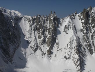
10 routes · Freeride Skiing · Ski Touring