FATMAP by Strava

Col des Cristaux

Arve Valley

A great introduction to the steep north faces of the Argentière Basin.

Ski Touring Extreme

Distance
5.4 km
Ascent
739 m
Descent
739 m
Duration
3-4 hrs
Low Point
2.7 km
High Point
3.5 km
Gradient
56˚
Col des Cristaux Map

Whilst it is the least steep of the Argentière Basin's great North Faces, the Col des Cristaux should still not be underestimated. It is steep (50 degrees) and sometimes rocky on the final top pitch before the ridge.

Description

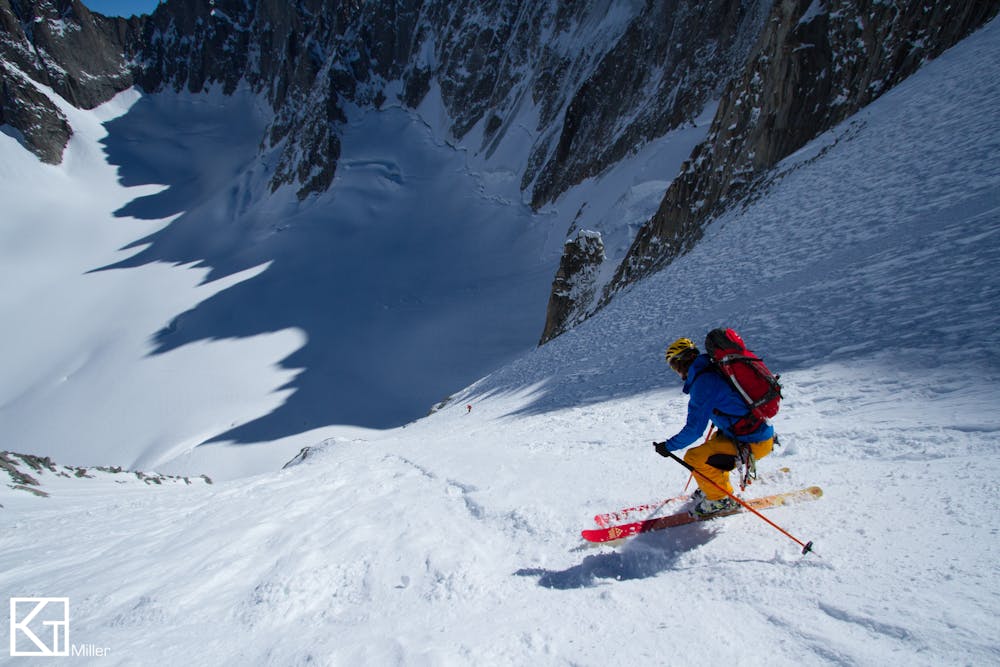
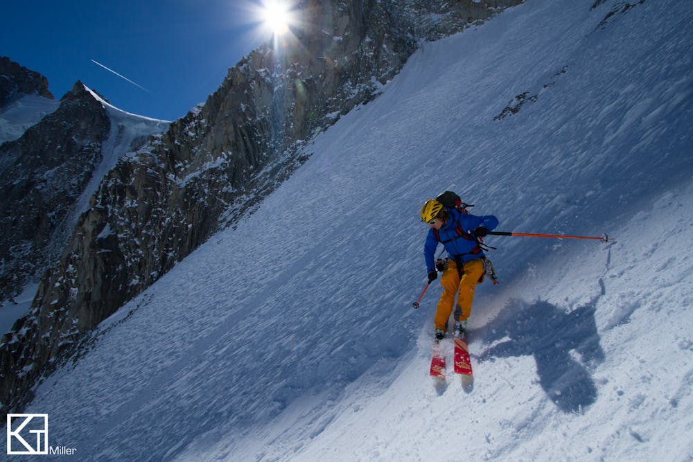
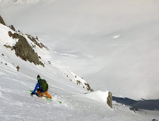
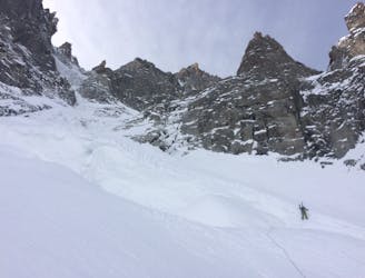
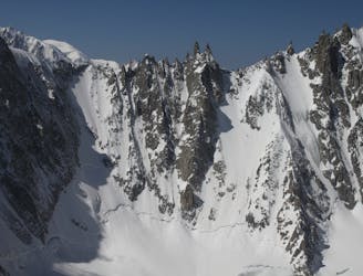
From the top of the Grand Montets cable car, ski down the very start of the Point du Vue piste before quickly ducking the rope and heading skier's right and down the Glacier du Rognons. Take care to watch out for some large crevasses on the upper section. Keep to skier's right of the Rognon itself (a large rock island). This soon brings you down onto the Glacier d'Argentière. Skin up the glacier to the foot of the north-east slope of the Col des Cristaux. The first 300 meters are barely 45 degrees before the slope steepens at the top. Ski back down the same way and out onto the Glacier d'Argentière.

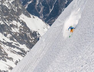
Be aware that this face has a strong easterly aspect to it and can heat up surprisingly quickly in the morning and often releases wet slides in the spring.

Difficulty

Extreme

Extreme skiing terrain above 45 degrees. These routes are reserved for experienced experts.

Medium Exposure (E2)

2 out of 4

As well as the slope itself, there are some obstacles (such as rock outcrops) which could aggravate injury.

Remoteness

4 out of 4

In the high mountains or remote conditions, all individuals must be completely autonomous in every situation.

Best time to visit

between January and May

Equipment required

  • Rope
  • Skins
  • Ice axe
  • Crampons

Similar routes nearby

Guidebooks in this area