4.6 km away
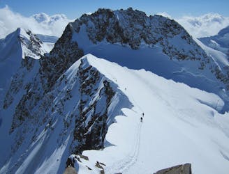
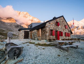
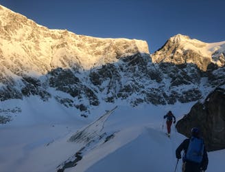
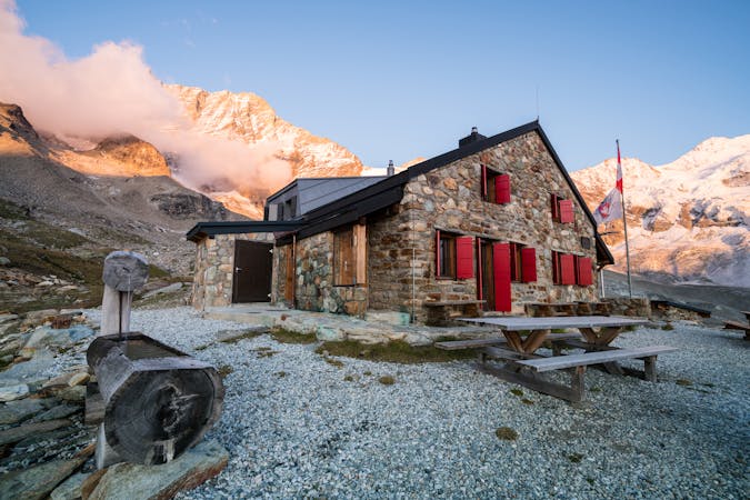
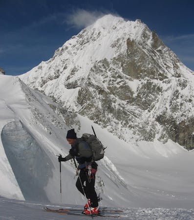
Tour de Ciel: Zermatt to Schonbiel Hut
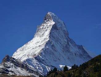
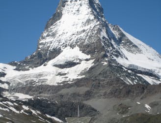
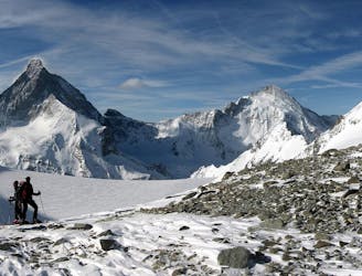
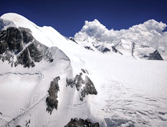
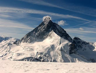
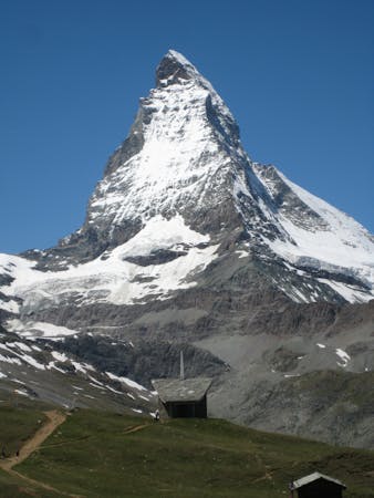
A warm up day that can be lift assisted, travelling under the awe inspiring N face of the Matterhorn to the traditional Schonbiel Hut, well off the beaten track.
Difficult Ski Touring
- Distance
- 5.8 km
- Ascent
- 568 m
- Descent
- 100 m