4.4 km away
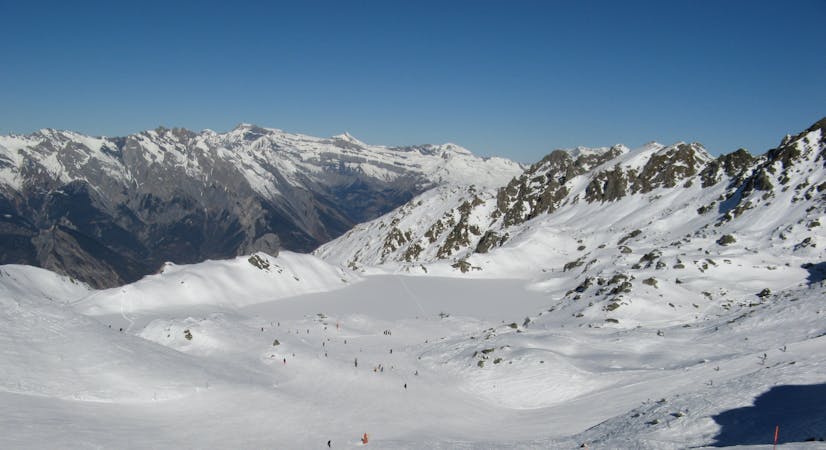
Vallon d'Arby - Les Plans
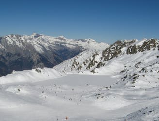
An alternative entrance to the Vallon d'Arby with some good skiing but requires some walking
Difficult Ski Touring
- Distance
- 3.3 km
- Ascent
- 41 m
- Descent
- 880 m

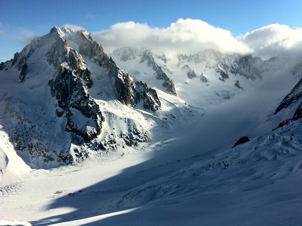
This is a popular ski touring route which is generally considered to be severe. It's remote, it features medium exposure (e2) and is typically done between February and April. From a low point of 1.7 km to the maximum altitude of 2.5 km, the route covers 4.4 km, 257 vertical metres of ascent and 863 vertical metres of descent. It's graded 5.1 and Labande grade 5. You'll need rope and skins to complete it safely.


steep couloir with three aspects NSE lead to large amounts of soft snow one skiers left with harder punchy snow lower skiers right. still amazing ski
Severe
Steep skiing at 38-45 degrees. This requires very good technique and the risk of falling has serious consequences.

As well as the slope itself, there are some obstacles (such as rock outcrops) which could aggravate injury.
Away from help but easily accessed.
4.4 km away
An alternative entrance to the Vallon d'Arby with some good skiing but requires some walking
Difficult Ski Touring
4.8 km away
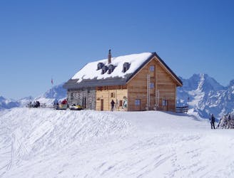
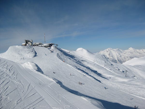
A short section linking the Verbier Lifts to the well situated Mont Fort Hut
Moderate Ski Touring
6.3 km away
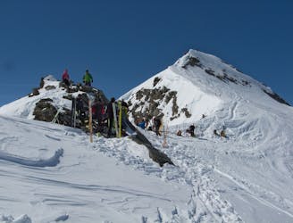
One of the big days on the Haute Route taking in the summit of the Rosablanche
Moderate Ski Touring
9.8 km away
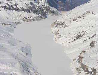
A long traverse along the side of Lac des Dix to the well positioned Dix Hut
Difficult Ski Touring
7 routes · Ski Touring
4 routes · Ski Touring
7 routes · Freeride Skiing · Ski Touring