3.5 km away
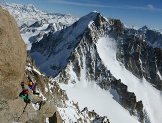
Bel Oiseau ENE Couloir
Scenery, ambience, brilliant skiing - there isn't much that this line doesn't have!
Difficult Ski Touring
- Distance
- 12 km
- Ascent
- 1.5 km
- Descent
- 1.5 km
A rightly popular peak in between Chamonix and Verbier which is often skiable early in the season.
Ski Touring Severe
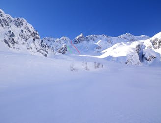
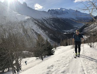
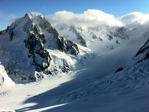
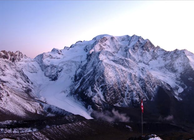
This is a fantastic ski tour taking in everything from peaceful forests to wild, open ridgelines and some very exciting skiing. The upper section of the route (ascending Pointe Ronde's NW Ridge and descending its N Face) require some route finding skill and locating the correct line would be very difficult in bad weather, so save this one for a blue sky day.
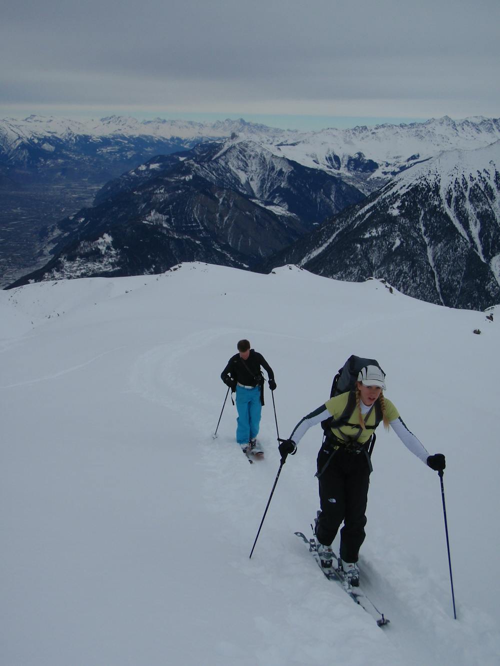
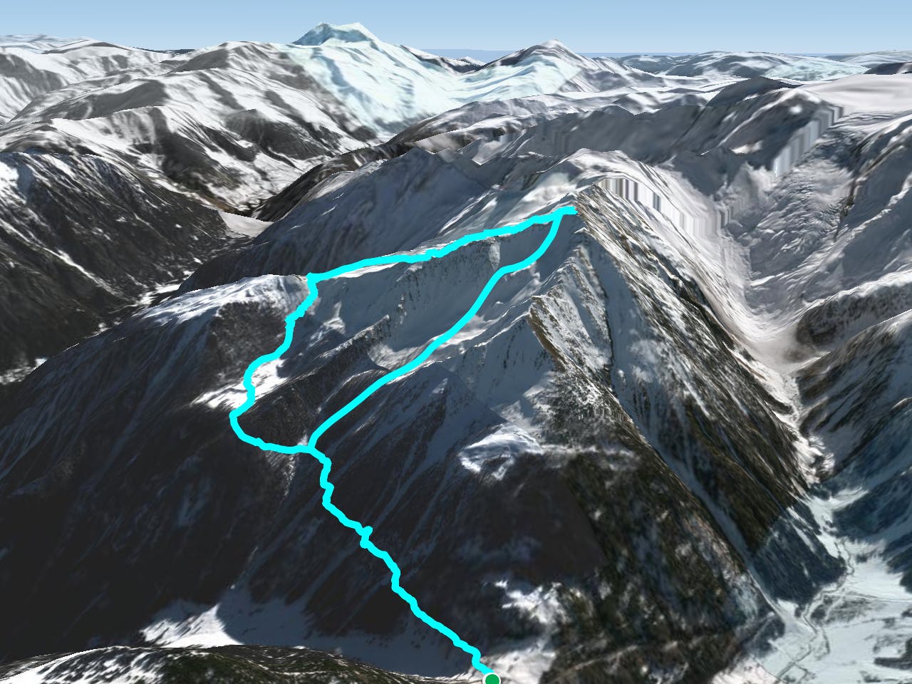
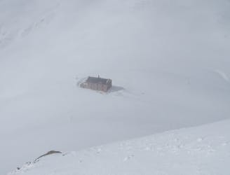
The tour starts at the Col de la Forclaz, which links the Chamonix and Rhone valleys and is (in all but the most brutal storms) open all winter. There is a hotel/restaurant on the Col and plenty of parking.
From the Col skin east into the forest on a clear path and keep going as the path winds through some lovely trees and up to a clearing, which you reach within an hour of leaving the Col.
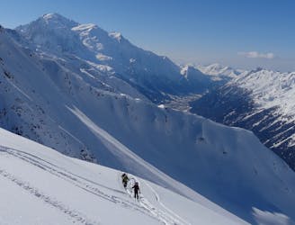
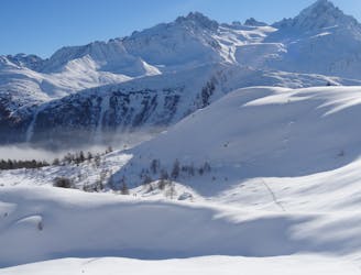
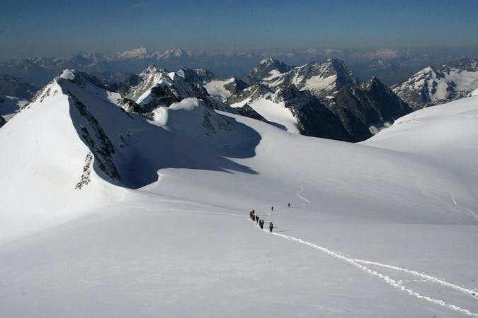
Turn south-west and skin up the clearing into a bowl which leads easily onto the Pointe Ronde's NW Ridge. Follow the ridge, which is mostly scenic and wide, all the way to the summit. The final ascent to the summit is a bit thinner and more exposed than the lower section of the ridge, but still not too tricky or intimidating.
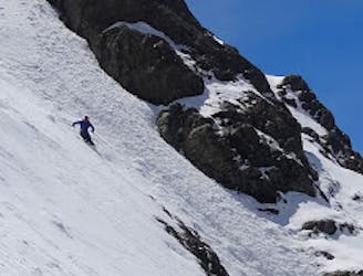
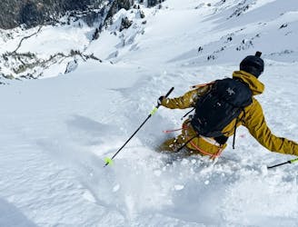
Having spent some time geeking out about the view and spotting famous peaks (both Mont Blanc and the Matterhorn are clearly visible, amongst others), ski briefly back down the NW Ridge then find the best spot to drop into the N Face. There can be big cornices at the top of the face so treat these with respect and only drop in once you're happy you've found a safe entry point. If you can't find a good entry then retracing your ascent route isn't a bad consolation prize.
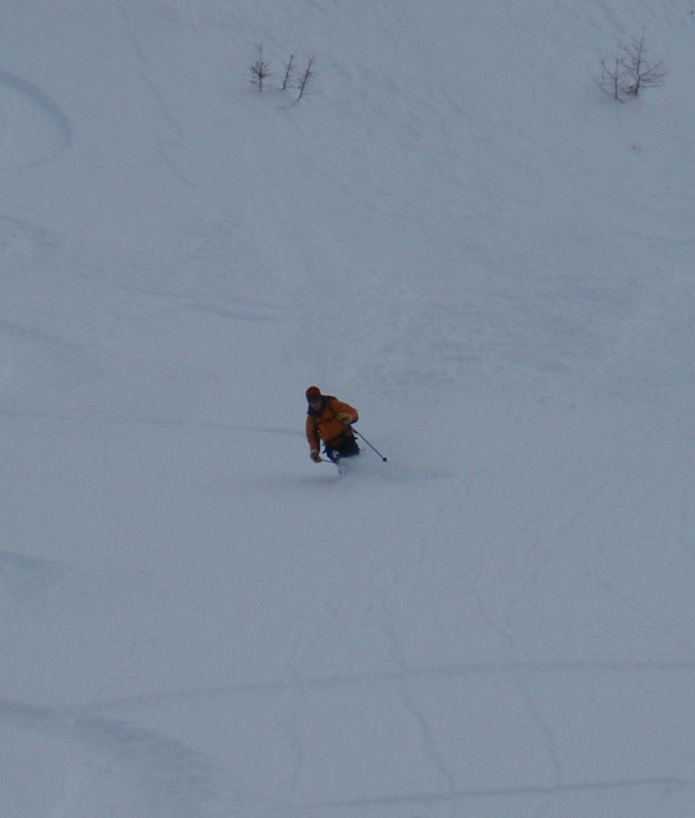
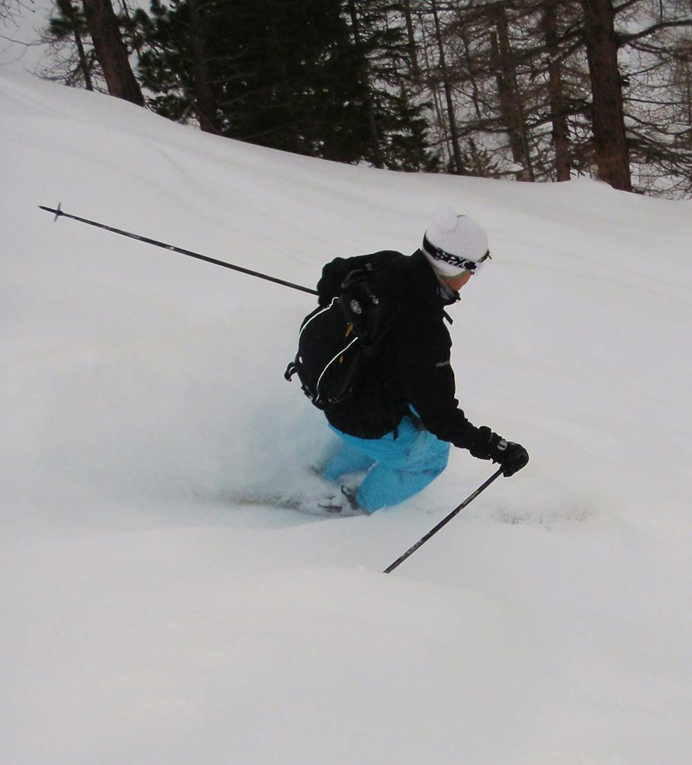
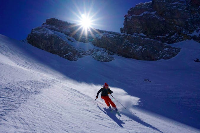
Provided you do find a way in, the skiing is steep on the N face and there are countless routes down. The line mellows all the way down and gradually leads you into trees. These provide some more brilliant skiing but all too quickly deposit you back on the track you started skiing up at the beginning of the day. Turn left and follow this back to the Col de la Forclaz.
Severe
Steep skiing at 38-45 degrees. This requires very good technique and the risk of falling has serious consequences.

As well as the slope itself, there are some obstacles (such as rock outcrops) which could aggravate injury.

Little chance of being seen or helped in case of an accident.
3.5 km away
Scenery, ambience, brilliant skiing - there isn't much that this line doesn't have!
Difficult Ski Touring
4.2 km away
A short climb gives access to a pleasing descent into the neighbouring Trient valley
Difficult Ski Touring
4.8 km away
A big adventure through some huge terrain
Severe Ski Touring
5.2 km away
Just when you think ski season is over, and summer is here, you find a line like this!
Severe Ski Touring
7.2 km away
A big descent down the Val d'Arpette and out to Champex
Moderate Ski Touring
7.3 km away
A relatively easy tour to great views. Mostly worthwhile for the up hill journey away from the crowds.
Moderate Ski Touring
7.6 km away
A beautiful ski tour which features some fabulous terrain in a wild location.
Difficult Ski Touring
7.9 km away
A beautiful and STEEP north face in the Aiguilles Rouges massif
Extreme Ski Touring
9.9 km away
The West Couloir is yet another reason why the Aiguille Chardonnet is one of the best summits for steep skiing in the Alps.
Extreme Ski Touring
7 routes · Ski Touring
7 routes · Ski Touring

50 routes · Freeride Skiing · Ski Touring

15 routes · Freeride Skiing · Ski Touring
6 routes · Ski Touring
7 routes · Ski Touring