3.6 km away
Bel Oiseau ENE Couloir
Scenery, ambience, brilliant skiing - there isn't much that this line doesn't have!
Difficult Ski Touring
- Distance
- 12 km
- Ascent
- 1.5 km
- Descent
- 1.5 km
Just when you think ski season is over, and summer is here, you find a line like this!
Ski Touring Severe
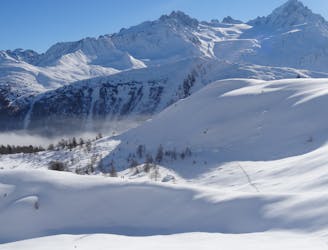
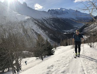
This is a great little trip, doubly so because it is best done in May/June, a lovely time of year to be out on skis if there has been enough snow over winter. It would be possible to do the route earlier in the winter but if you wait until the road up to the Emosson Dam is open for the summer, you'll save yourself a long and tedious skin up a road.
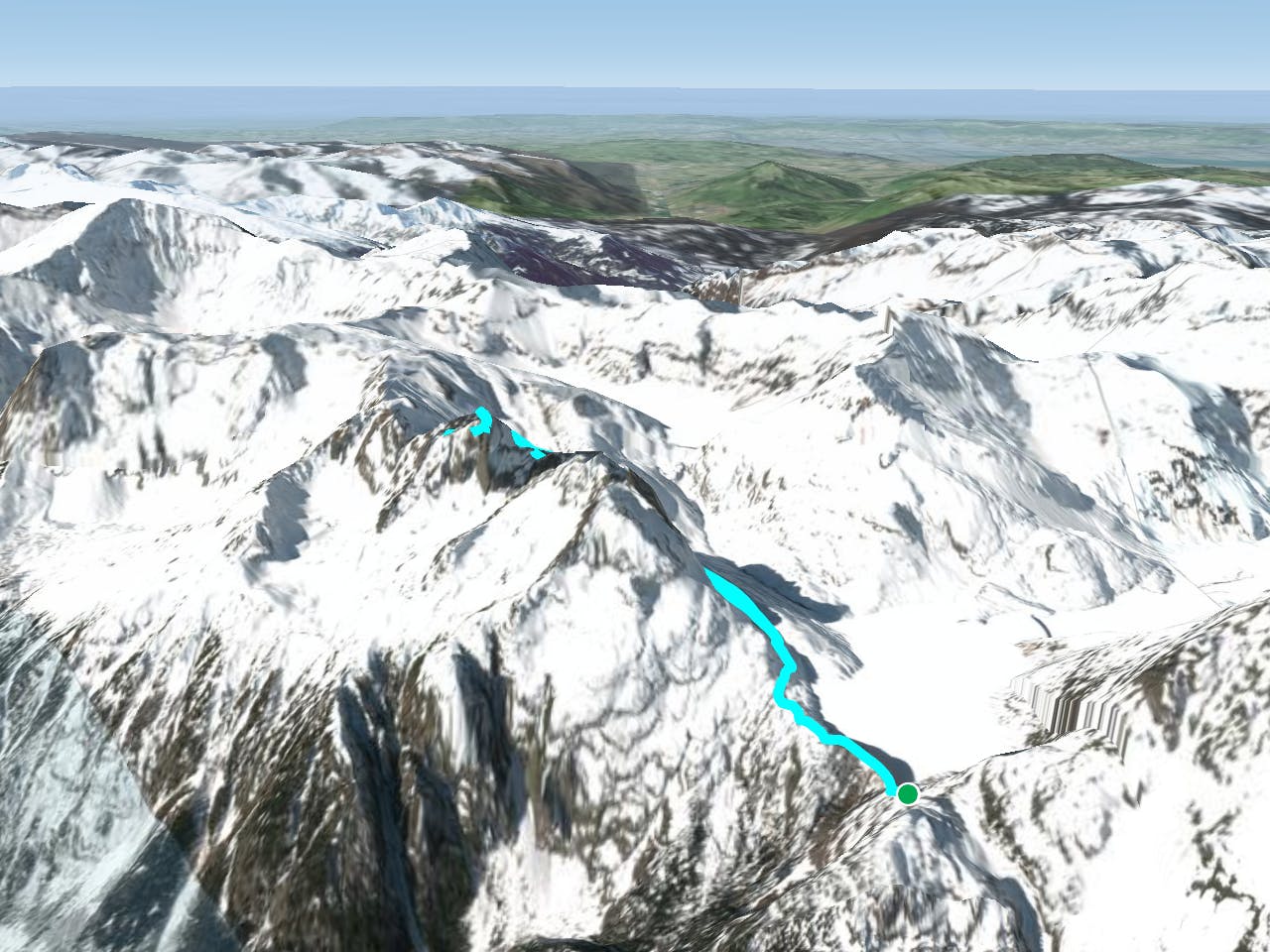
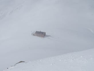
From the Dam parking area, descend the path and steps to the west which lead down to the dam itself. Walk across the dam and carry on along the road on the far side until you are past the north ridge of the Aiguille du Van.
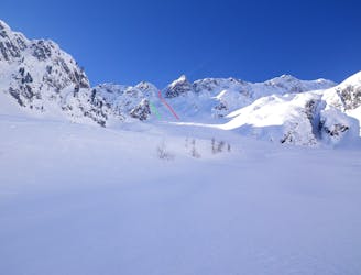
Put your skis on and begin skinning south up the lovely mellow gully/bowl north-west of the Grand Perron. At one point the gully gets very narrow and then opens up again into another bowl. Drift south-east up this, heading directly for the Pointe de l'Ifala, which is now clearly visible above you.
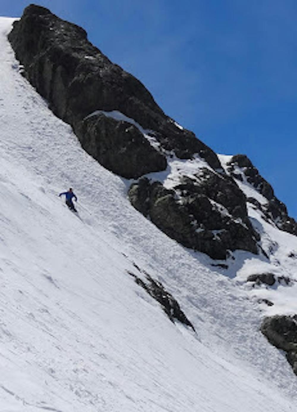
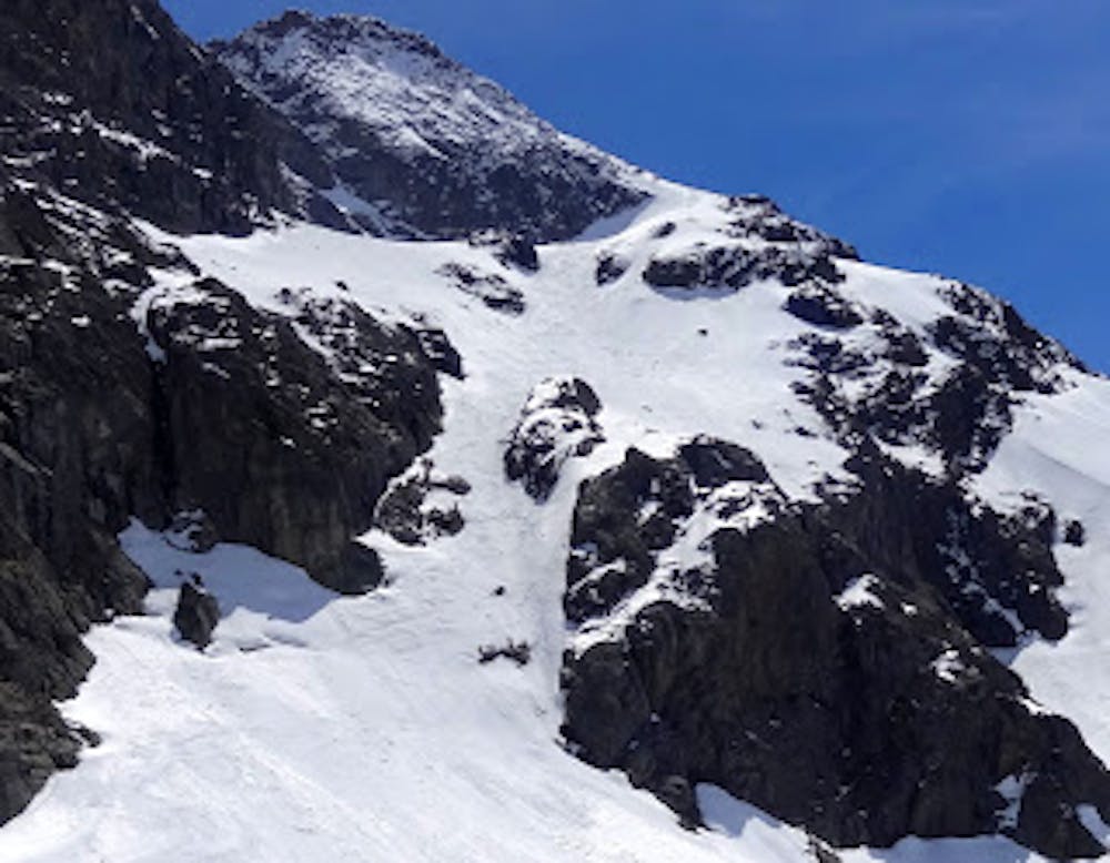
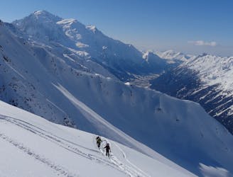
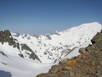
Head straight for the North-west Couloir and then skin as far as you can up it before eventually admitting defeat and bootpacking the final section. The Couloir doesn't actually reach the summit for the Pointe de L'Ifala but the view across the Mont Blanc Massif from the top of the route should compensate for the lack of a summit.
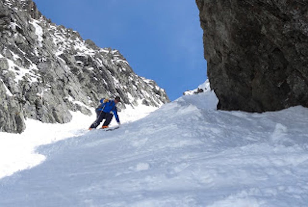
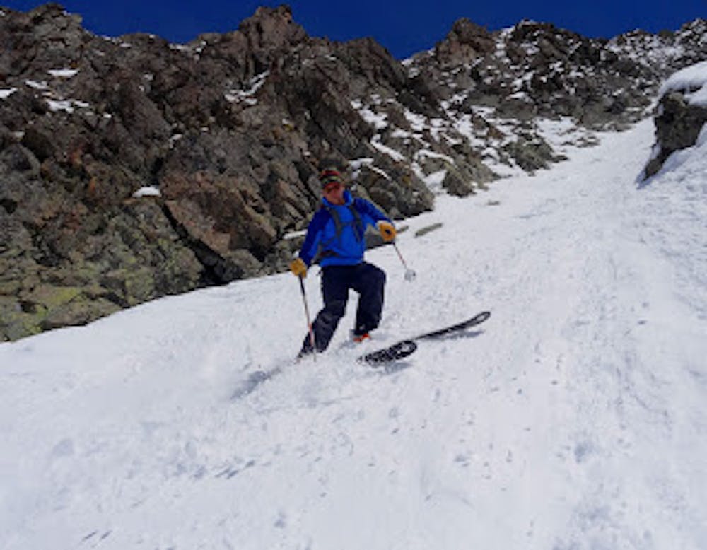
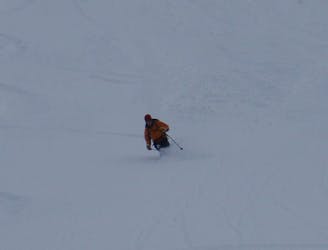
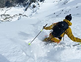
Ski down the couloir, which is narrow and steep at the top and then, open reaching more open slopes, head out right to the dramatic hanging ramp north of the Pointe de L'Ifala and follow it as it traverses beneath the Pain de Sucre and Pointe de Vouilloz.
The ramp eventually begins to steepen and narrow, at which point you need to closely follow our line in order to locate the exit couloir, which is an excellent little run in itself.
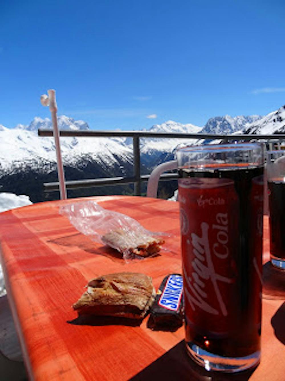
Once out of the exit couloir, keep pushing right and hold as much height as possible in order to reach the road as late as you can. Once you do finally hit it, walk back across the dam and up to the parking area for a celebratory drink.
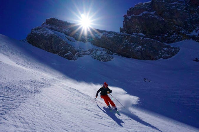
Severe
Steep skiing at 38-45 degrees. This requires very good technique and the risk of falling has serious consequences.

As well as the slope itself, there are some obstacles (such as rock outcrops) which could aggravate injury.

Little chance of being seen or helped in case of an accident.
3.6 km away
Scenery, ambience, brilliant skiing - there isn't much that this line doesn't have!
Difficult Ski Touring
5.2 km away
A rightly popular peak in between Chamonix and Verbier which is often skiable early in the season.
Severe Ski Touring
5.2 km away
A beautiful ski tour which features some fabulous terrain in a wild location.
Difficult Ski Touring
5.3 km away
A short climb gives access to a pleasing descent into the neighbouring Trient valley
Difficult Ski Touring
5.9 km away
A big adventure through some huge terrain
Severe Ski Touring
6 km away
A beautiful and STEEP north face in the Aiguilles Rouges massif
Extreme Ski Touring
7.1 km away
A relatively easy tour to great views. Mostly worthwhile for the up hill journey away from the crowds.
Moderate Ski Touring
8 km away

A beautiful and classic steep face with a hazardous entrance
Severe Ski Touring
8.9 km away
A superb variant, accessed from Le Buet or via the Col de Beugeant descent.
Difficult Ski Touring
7 routes · Ski Touring

10 routes · Freeride Skiing · Ski Touring

50 routes · Freeride Skiing · Ski Touring

15 routes · Freeride Skiing · Ski Touring