1.5 km away
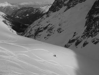
Col de Beugeant
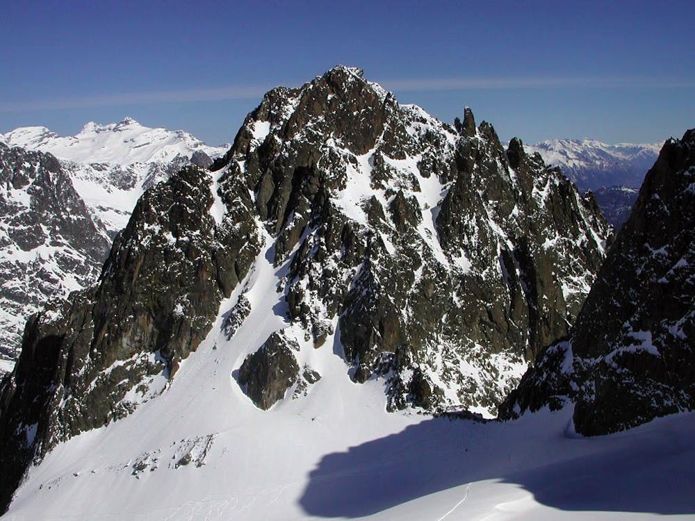
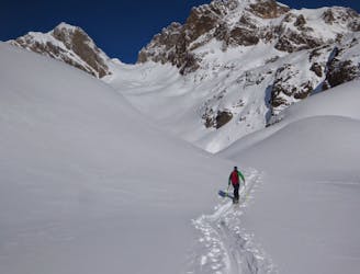
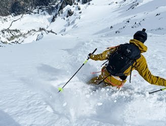
One of the classic tours of the Agiuille Rouge with a short section of exposed climbing
Difficult Ski Touring
- Distance
- 3.8 km
- Ascent
- 495 m
- Descent
- 1 km
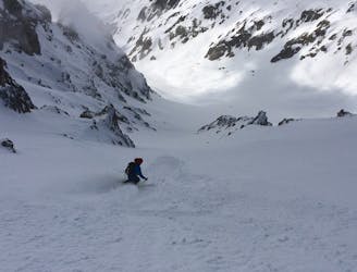
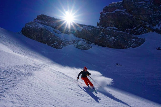
A superb variant, accessed from Le Buet or via the Col de Beugeant descent.
Ski Touring Difficult

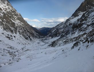
Beautiful and sheltered east-facing slopes. From the village of Le Buet it's a 1200-meter climb to the Col de l'Encrenaz.
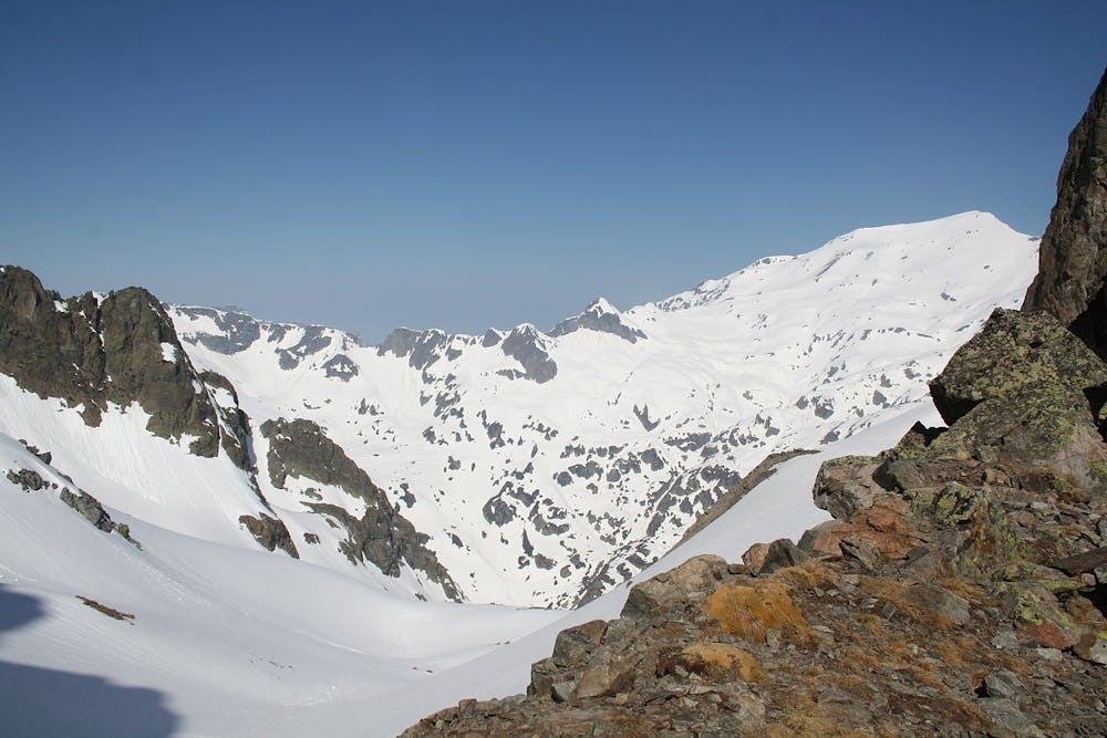
From the village of le Buet beginner slopes, skin up and leftwards through a more open area, then pick your way up through the trees until you reach a bench just above the treeline. Skin leftwards under the rocks of the Aiguille de Mesure, following the small riverbed of the l'Eau Noire and up to the Col de l'Encrenaz.
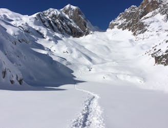
Ski down the same way, or traverse the col and ski down the slopes above the Col des Montets, trending left as you descend to pick the easiest line through the trees. In good conditions, you can traverse slightly less far to the left into a tight, snowy couloir, easily visible from the road.
You can also access this col from Flegere via Col Beaugeant—see description for that route. This is the route marked here. From Col Beaugeant traverse down and skier's right below the Aiguille des Chamois and the Aiguille Martin to the Col de l'Encrenaz and descend as above.
Difficult
Serious gradient of 30-38 degrees where a real risk of slipping exists.

In case of a fall, death is highly likely.

In the high mountains or remote conditions, all individuals must be completely autonomous in every situation.
1.5 km away
One of the classic tours of the Agiuille Rouge with a short section of exposed climbing
Difficult Ski Touring
2.5 km away
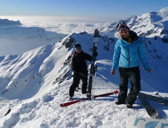
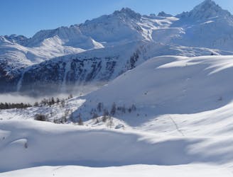
A visually stunning ski tour easily accessible from Flégère
Moderate Ski Touring
2.5 km away
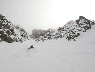
A good introduction to Chamonix ski touring which nonetheless features a short bootpack and an exposed traverse.
Difficult Ski Touring
2.5 km away
A Chamonix classic which features a beautiful ascent, an exciting, long abseil and some stunning north facing bowls.
Severe Ski Touring
2.5 km away
Once a well kept secret, it's not secret anymore but still a great descent.
Difficult Ski Touring
2.5 km away
A steep and exciting couloir which packs a lot of adventure into a short line.
Severe Ski Touring
2.5 km away
A brilliant freeride line with some steep-ish, technical skiing followed by a wide open, rippable slope.
Difficult Ski Touring
2.9 km away
A brilliant detour from the classic Crochues-Bérard route which takes you through some fantastic terrain.
Difficult Ski Touring
3.3 km away
A beautiful and STEEP north face in the Aiguilles Rouges massif
Extreme Ski Touring
3.8 km away
A beautiful ski tour which features some fabulous terrain in a wild location.
Difficult Ski Touring
7 routes · Ski Touring

50 routes · Freeride Skiing · Ski Touring