6.1 km away
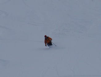
Bel Oiseau ENE Couloir
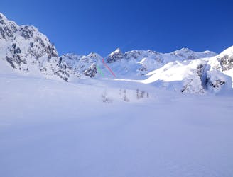
Scenery, ambience, brilliant skiing - there isn't much that this line doesn't have!
Difficult Ski Touring
- Distance
- 12 km
- Ascent
- 1.5 km
- Descent
- 1.5 km
A stunning ski tour to the Glacier Plan Neve and lac de Salanfe on the Dents du Midi.
Ski Touring Difficult

Beginning in Salvan, ascend up the Van d’en Haut. Although the climb is not very steep or technically challenging, it's a long, physically demanding ascent. You climb up the deep, wild valley all the way to the edge of the Lac de Salanfe. Head around the east side lakeshore and climb up to the impressive Glacier Plan Neve. Descend the way you came up the glacier, retracing your ski tracks to the lake where you then turn off following signs to the Refuge de Dentes de Midi. It’s situated on the edge of the lake on a glacier plateau, with unadulterated views of Mont Blanc, the Bernese Alps and Valais’ many spectacular 4000m peaks.
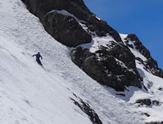
Difficult
Serious gradient of 30-38 degrees where a real risk of slipping exists.

In case of a fall, death is highly likely.

Away from help but easily accessed.
6.1 km away
Scenery, ambience, brilliant skiing - there isn't much that this line doesn't have!
Difficult Ski Touring
8 km away
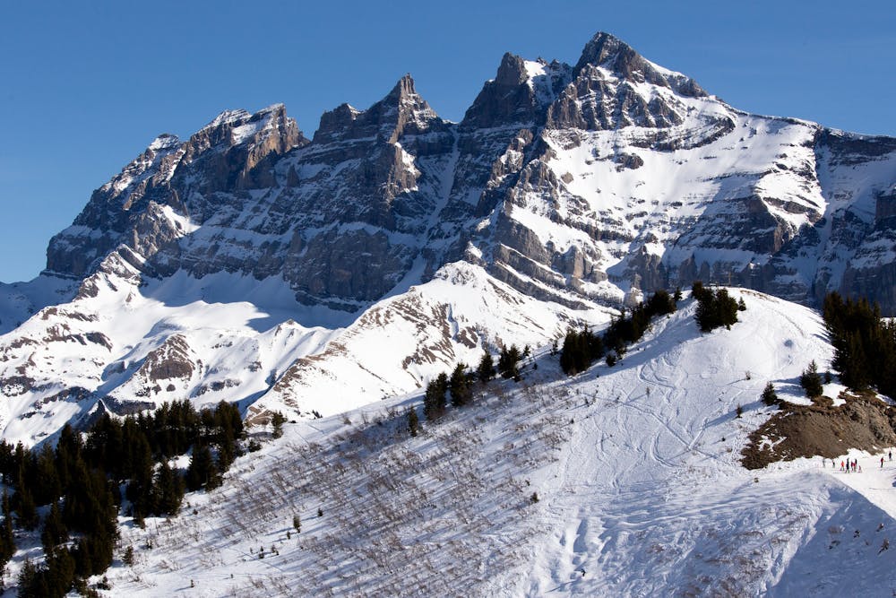
A rightly popular peak in between Chamonix and Verbier which is often skiable early in the season.
Severe Ski Touring
9.4 km away
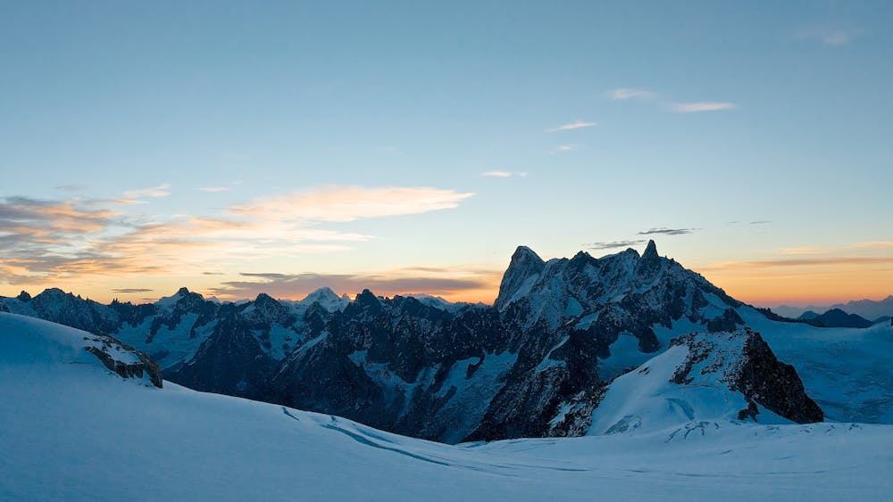
Just when you think ski season is over, and summer is here, you find a line like this!
Severe Ski Touring

50 routes · Freeride Skiing · Ski Touring