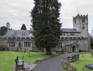
180 m away
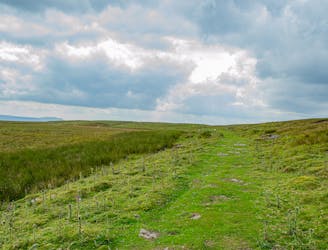
Cautley Spout and Calf Top
Stunning waterfalls and breathtaking views in the Northern Dales.
Moderate Hiking
- Distance
- 18 km
- Ascent
- 824 m
- Descent
- 824 m
Sedbergh - Settlebeck Gill - Winder - Arant Haw - The Calf - Force Gill Beck - Causey Spout - Causey Holme Beck - Sedbergh
Hiking Moderate

This is a popular hiking route which is generally considered to be moderate. It's remote, it features medium exposure and is typically done all year round. From a low point of 128 m to the maximum altitude of 675 m, the route covers 17 km, 781 vertical metres of ascent and 781 vertical metres of descent.
Sedbergh - Settlebeck Gill - Winder - Arant Haw - The Calf - Force Gill Beck - Causey Spout - Causey Holme Beck - Sedbergh
Moderate
Hiking along trails with some uneven terrain and small hills. Small rocks and roots may be present.

The trail contains some obstacles such as outcroppings and rock which could cause injury.
Away from help but easily accessed.
180 m away
Stunning waterfalls and breathtaking views in the Northern Dales.
Moderate Hiking
9.4 km away
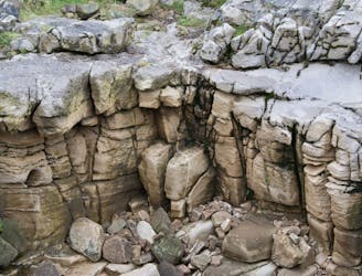
Discover the world beneath your feet—by walking above ground!
Moderate Hiking
9.9 km away
The Dales at its finest - old ways & new ways
Difficult Hiking