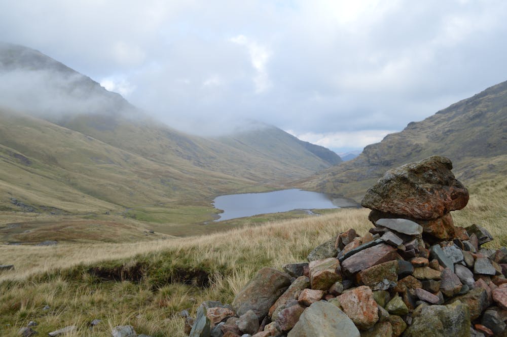
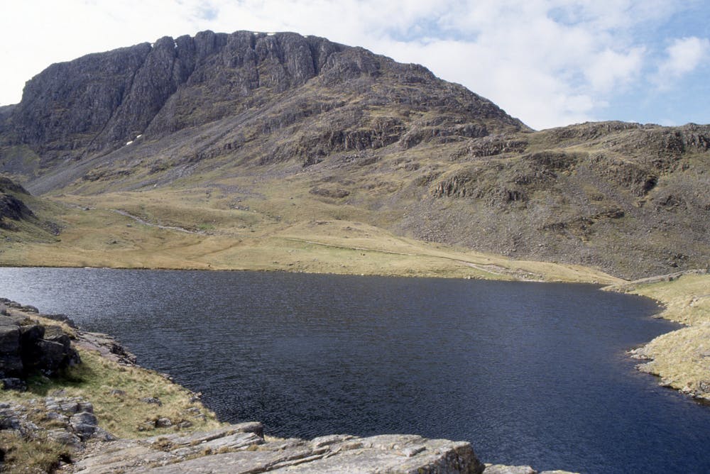
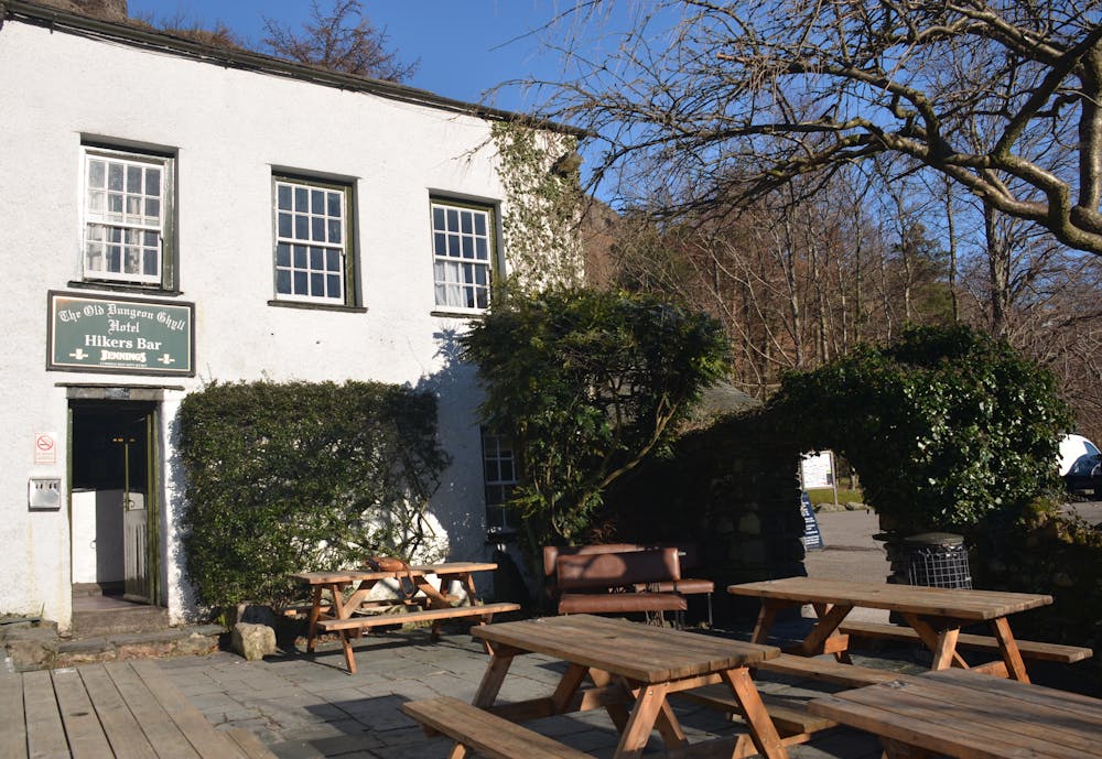
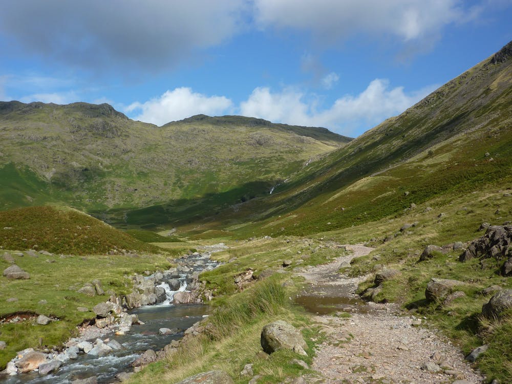
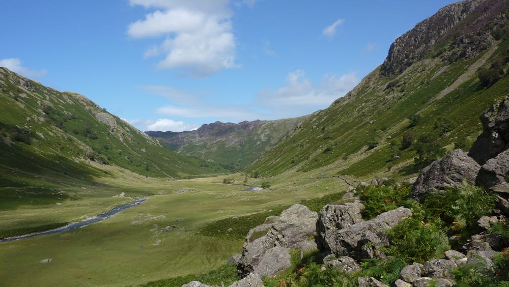
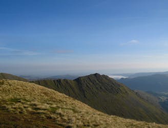
From the parking area near the Old Dungeon Ghyll in Langdale, ride out on the rough track along Mickleden Beck to the head of the valley. Once across the footbridge, get your bike comfortable on your back as it'll be there for a while. Climb up the steep, stepped, rocky path leading up Rossett Ghyll, enjoying seeing the faces of bemused walkers. A short technical descent leads to Angle Tarn before another series of steep ups and downs heading towards Sty Head. The scenery here is incredible, with Bowfell, Esk Pike, Great End and Great Gable dominating the high skyline. After a frustratingly awkward section of stream crossings and jumbled rocks, the descent to Seathwaite via Stockley Bridge ranks as one of the best in the Lakes for those competent enough to ride it. Steep rock steps and slabs, tight corners -
simply fantastic.
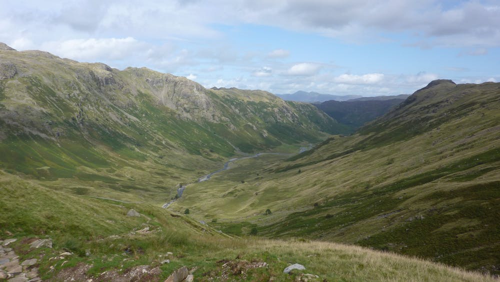
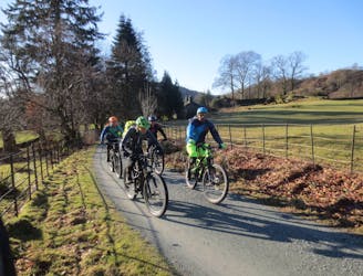
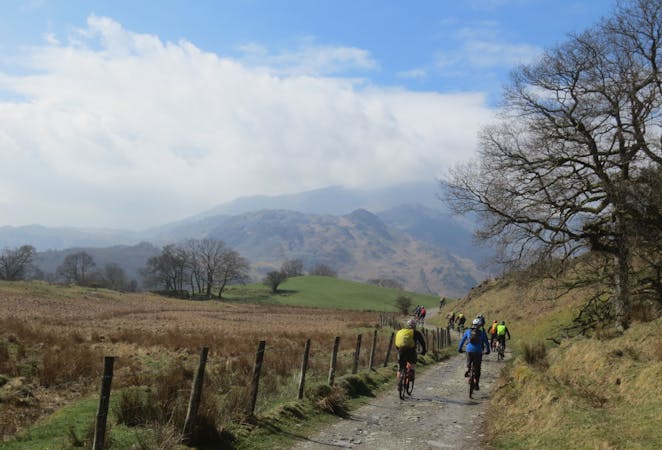
A pleasant road section to Rosthwaite leads to a lovely bridleway following Langstrath Beck up to the killer climb of Stake Pass. Once again it's bike-on-the-back time to the top, but then a great snaking rocky and technical singletrack descent back to the ride out down Mickleden Beck back to Langdale.