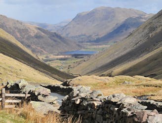
1.6 km away
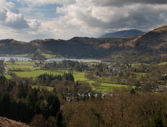
Iron Keld and Loughrigg
A superb and popular ride with stunning views, testing but rideable climbs, and brilliant descents.
Difficult Mountain Biking
- Distance
- 21 km
- Ascent
- 777 m
- Descent
- 777 m
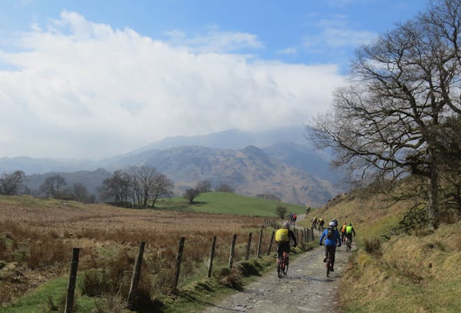
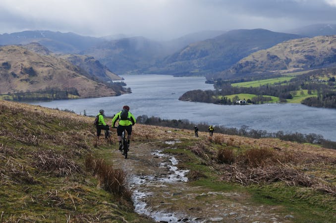
This mountain bike route could definitely be called Loughrigg Lite in comparison to some possibilities in the area, but this wouldn’t really do justice to a superb little loop that in just 10km takes in a little of everything that’s good about Lakeland mountain biking.
Mountain Biking Moderate

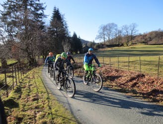
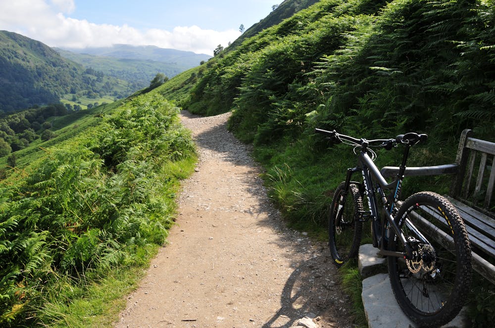
This mountain bike route could definitely be called Loughrigg Lite in comparison to some possibilities in the area, but this wouldn’t really do justice to a superb little loop that in just 10km takes in a little of everything that’s good about Lakeland mountain biking. It may be short but it’s definitely no pushover. It’s basically a two-up, two-down; with the first and toughest climb coming early onto Loughrigg Fell, and the second, which is much easier, on tarmac at the halfway point. Both the descents are full-on fun but the roller-coaster ride along Loughrigg Terrace is one of the best in the Lakes: sweet easy rolling in some places and a real rocky horror shows in others. A word of warning: the terrace gets extremely busy with walkers so choose your day carefully or better still avoid busy periods altogether and always ride with something in reserve.

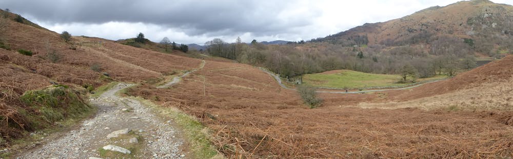
Turn right onto the road and follow it for nearly 2km to a waymarked, tarmac bridleway on the right (cattle grid). Now climb steeply up past Brow Head Farm and out on to Loughrigg Fell. Continue SA to the top and then stay on the main track eventually following a wall on your left.
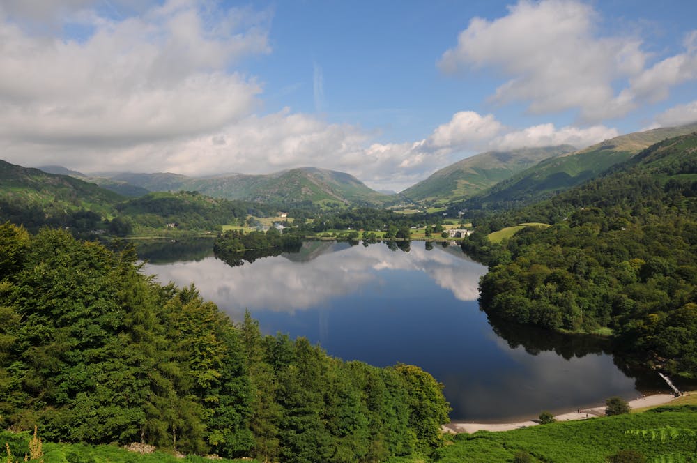
Keep SA where another bridleway forks left through a gate and continue to a x-roads with a broad track. Keep SA along another broad track and swing left to the road. Turn right and cruise up past Loughrigg Tarn and then fork right. Continue to the top, pass a small road on the left, and a footpath on the right, and then fork right onto a BW (Loughrigg Terrace and Rydal).
Follow this down, passing above Grasmere and then dropping to the shores of Rydal Water – care is needed on this section as it is narrow and often very busy. Keep ahead, over the rocks, and then stay on the main track as it climbs slightly to a gate before dropping to the car park.
© Tom Hutton - UKHillwalking.com, Dec 2013
Moderate
Mostly stable trail tread with some variability, with unavoidable obstacles 8in/20cm tall or less. Other obstacles such as rock gullies and steep sections may exist. Ideal for lower intermediate riders.
1.6 km away
A superb and popular ride with stunning views, testing but rideable climbs, and brilliant descents.
Difficult Mountain Biking
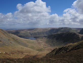
4.2 km away
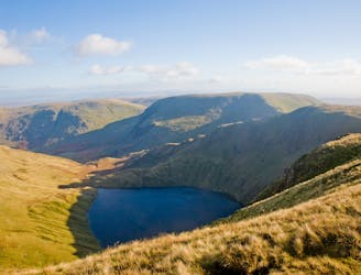
A mammoth outing from Grasmere climbing up and over the entire Helvellyn ridge, before returning on the Old Coach Road and back on the Thirlmere Valley road to Grasmere. This is a big mountain day out so pack a backpack accordingly!
Severe Mountain Biking
6 km away
A brutally steep climb on the way up becomes a wild, fast and furious descent on the return journey.
Severe Mountain Biking
6.8 km away
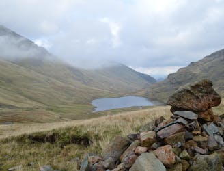
A very difficult route for expert riders used to big mountain riding, including two massive hike-a-bike climbs and two steep, technical and rocky descents will delight those who are up to the challenge.
Extreme Mountain Biking
8 km away
A ride on the lesser used side of Helvellyn for fit and technically skilled riders prepared for a full-on mountain day!
Severe Mountain Biking
8.3 km away
A Lakeland classic that provides a fine day out in the big hills for riders with strong legs and lungs!
Severe Mountain Biking
9.7 km away
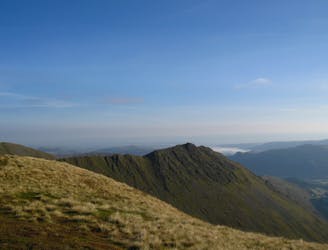
A monster of a route taking in the full ridge of High Street and the isolated little-visited areas of Swindale and Mosedale in one giant mountain day-out.
Severe Mountain Biking
7 routes · Mountain Biking
3 routes · Mountain Biking