4.4 km away
High Street South
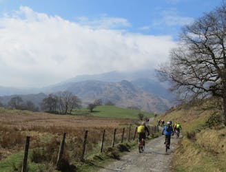
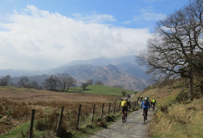
A brutally steep climb on the way up becomes a wild, fast and furious descent on the return journey.
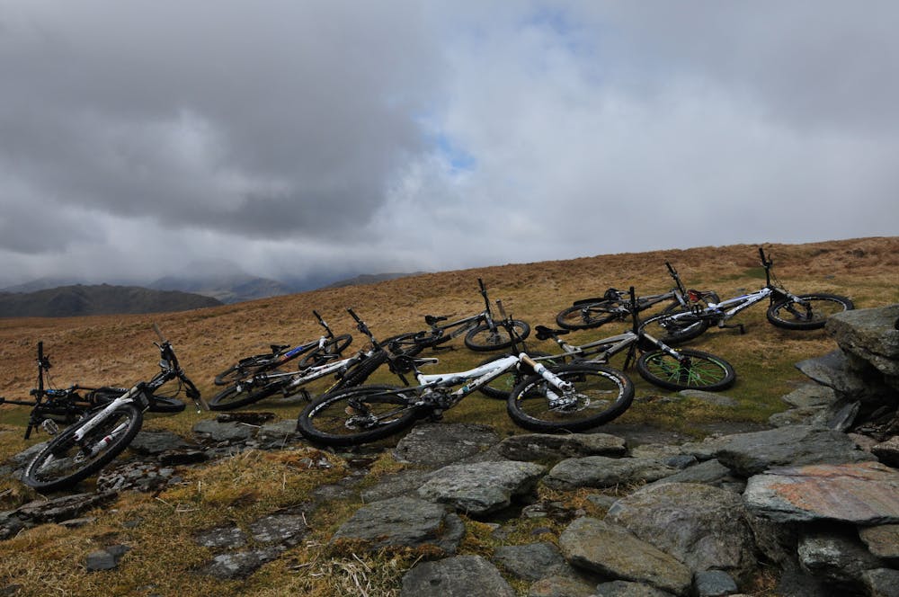
Severe Mountain Biking
- Distance
- 9 km
- Ascent
- 728 m
- Descent
- 39 m
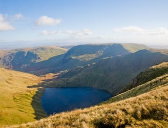
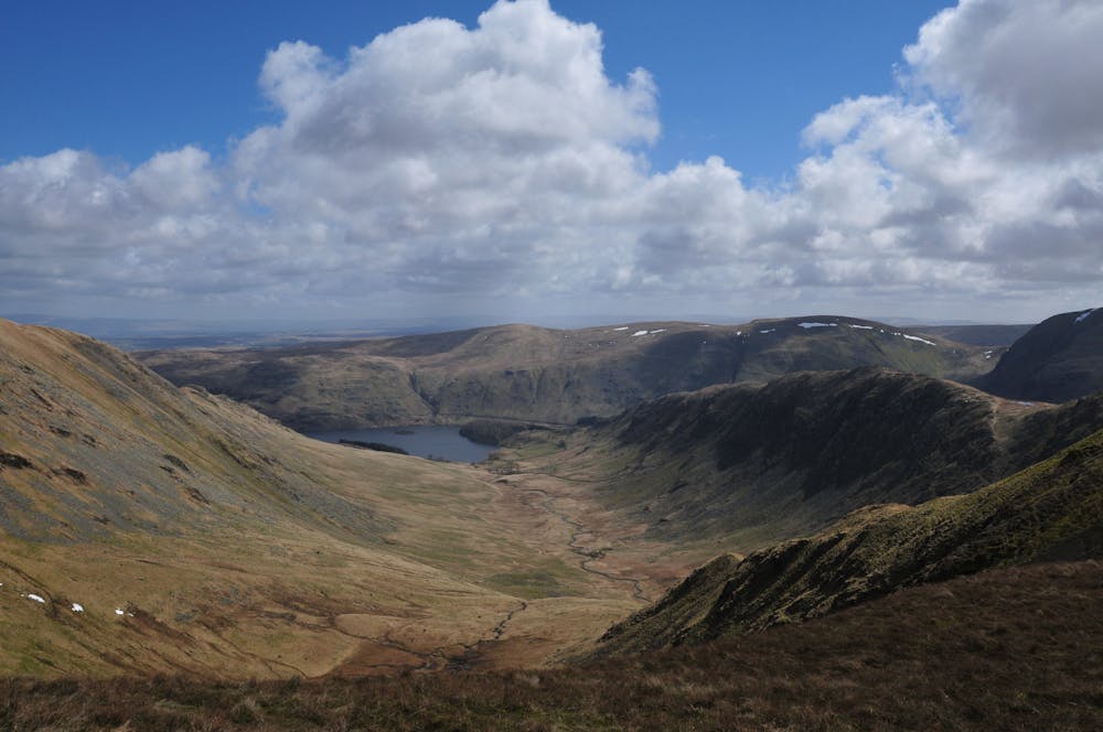
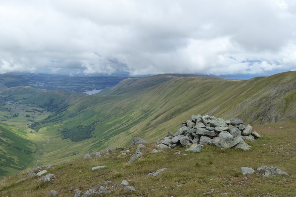
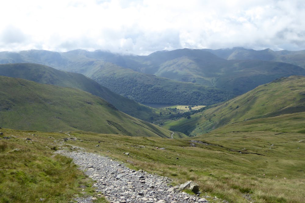
A monster of a route taking in the full ridge of High Street and the isolated little-visited areas of Swindale and Mosedale in one giant mountain day-out.
Mountain Biking Severe

From Staveley, the road heads out past Ings and up to the rough stony track climbing past Dubbs Reservoir. Head through Limefitt Park and up the Troutbeck valley on good stony tracks. Brutally steep climbing up to High Street follows, before you can enjoy the incredible views as you undulate over the entire ridge and down a lovely grassy swoopy descent from Loadpot Hill. Quiet roads take you from here around to the remote and beautiful valley of Swindale, and a steep and boggy push up from Swindale Head, admiring the lovely Forces Falls as you pass. Technical singletrack (which is unfortunately often boggy, but has some great sections between the bogs!) leads to a bothy at Mosedale Cottage, and a grassy climb (again, often very wet and boggy) to Brownhowe Bottom. Fast, rough stony tracks head down Longsleddale to Sadgill, before a short steep, rough climb and smoother flowy descent bring you over to Kentmere. From here you can either enjoy the spin back along the road to Staveley, or if you are a glutton for punishment then head up from Kentmere Hall for a final climb and fun descent that brings you out further along the road to Staveley. You'll have earned your beer/cake after this epic ride!
Severe
Widely variable, narrow trail tread with steeper grades and unavoidable obstacles of 15in/38cm tall or less. Obstacles may include unavoidable bridges 24in/61cm wide or less, large rocks, gravel, difficult root sections, and more. Ideal for advanced-level riders.
4.4 km away
A brutally steep climb on the way up becomes a wild, fast and furious descent on the return journey.
Severe Mountain Biking
5.8 km away
A big ride for experienced mountain bikers, climbing to and descending from two classic Lakeland passes on some of the best riding in the Lakes.
Severe Mountain Biking
8.1 km away
A superb and popular ride with stunning views, testing but rideable climbs, and brilliant descents.
Difficult Mountain Biking
9.7 km away
This mountain bike route could definitely be called Loughrigg Lite in comparison to some possibilities in the area, but this wouldn’t really do justice to a superb little loop that in just 10km takes in a little of everything that’s good about Lakeland mountain biking.
Moderate Mountain Biking
7 routes · Mountain Biking