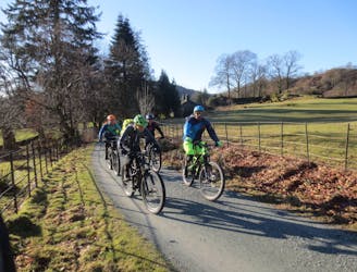
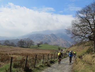
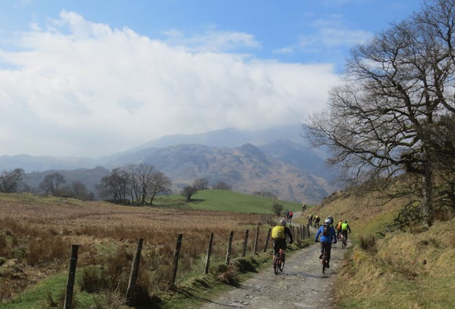
From Troutbeck, a bridleway leads through Limefitt Park before heading up on an obvious stony track to the head of the valley. This becomes a grassy slog, before steepening so much that the only way up is to push or carry your bike up this seemingly never-ending climb (think of the descent if you need motivation...). Once up at the point where you can get back on your bike, the vague track heads north up a broad grassy ridge, before joining the good stony-based track to take you up onto High Street. Enjoy the impressive views in all directions, then turn around and ride back the way you came! That horrendous climb is now a wild grassy descent that will leave your arms pumped and your brakes fading! It's best ridden in the dry as the gradient of the descent means gaining enough traction to stop on the wet grass is completely impossible!