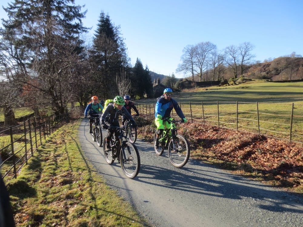
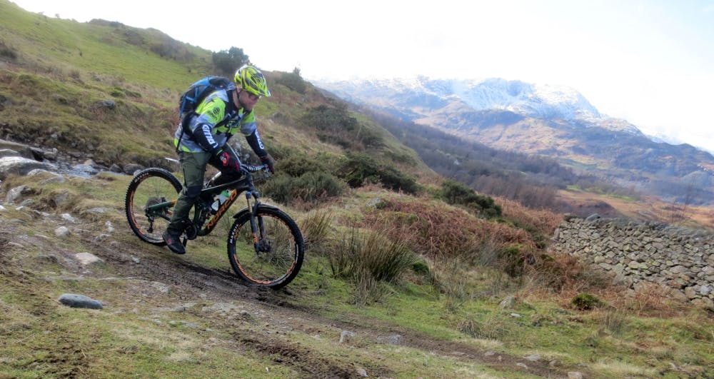
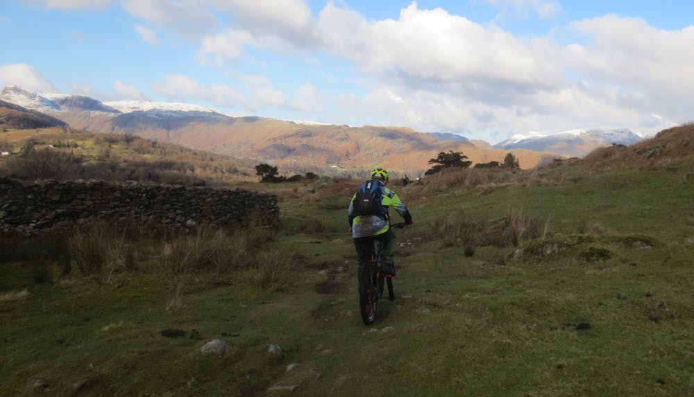
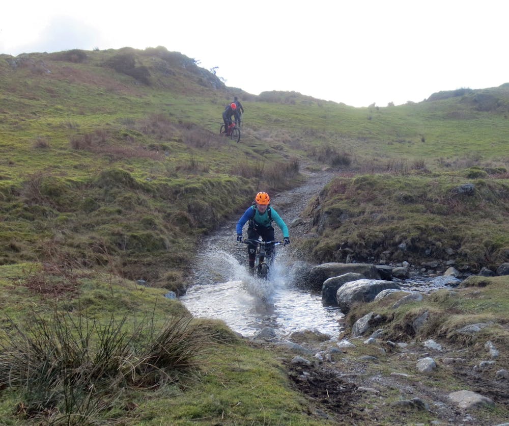
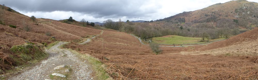
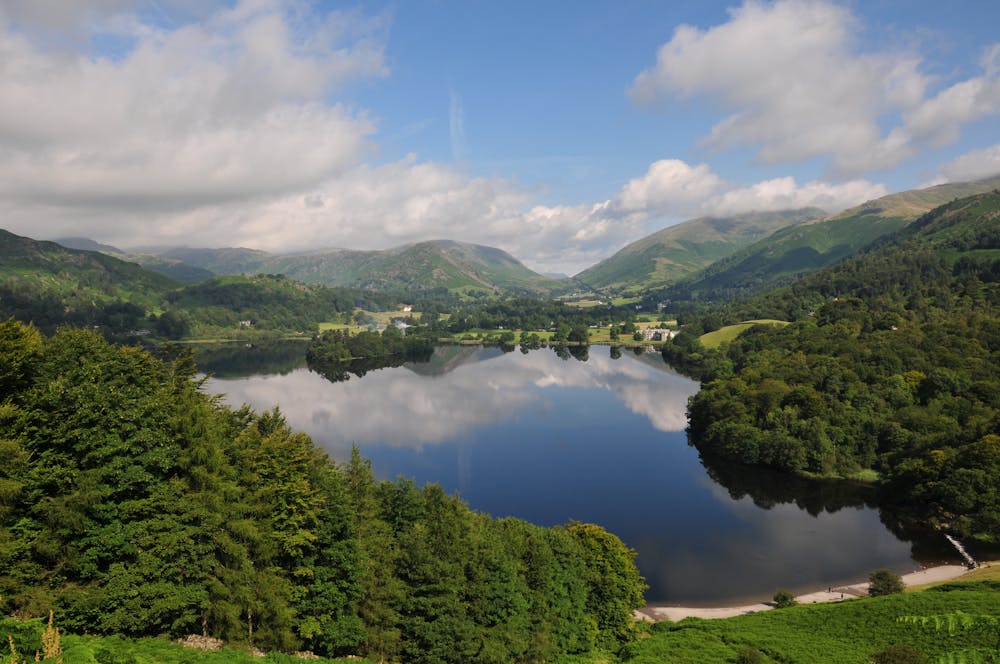
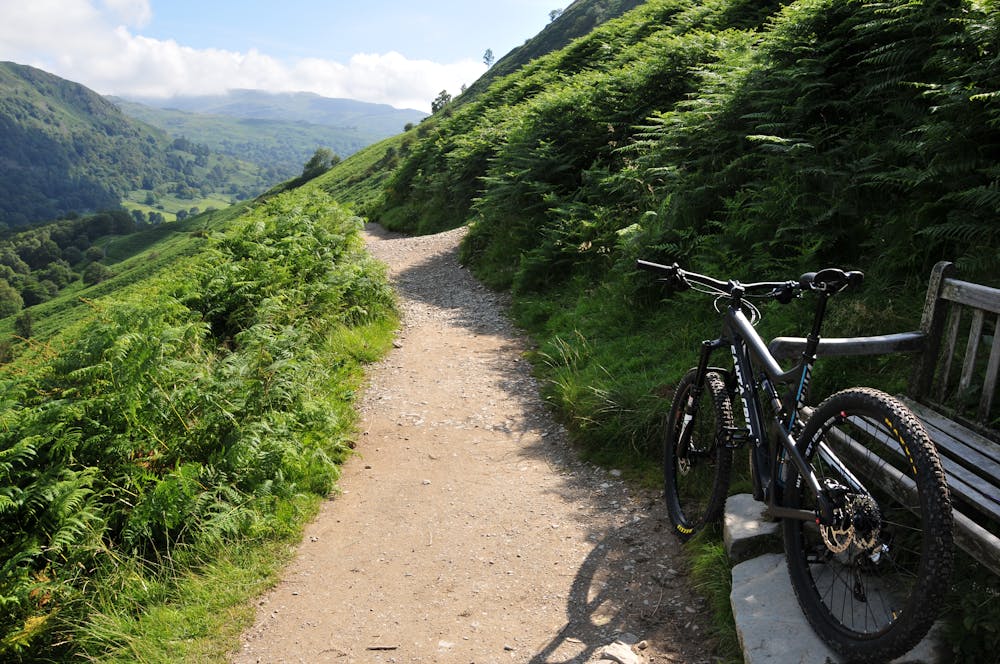
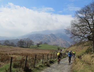
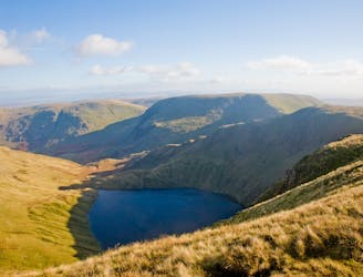
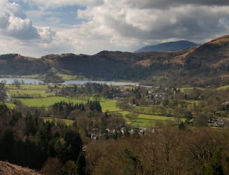
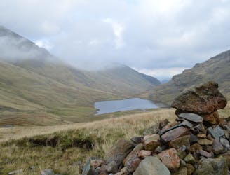
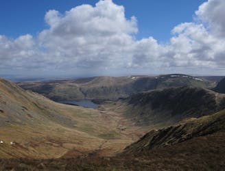
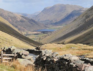
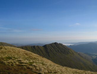
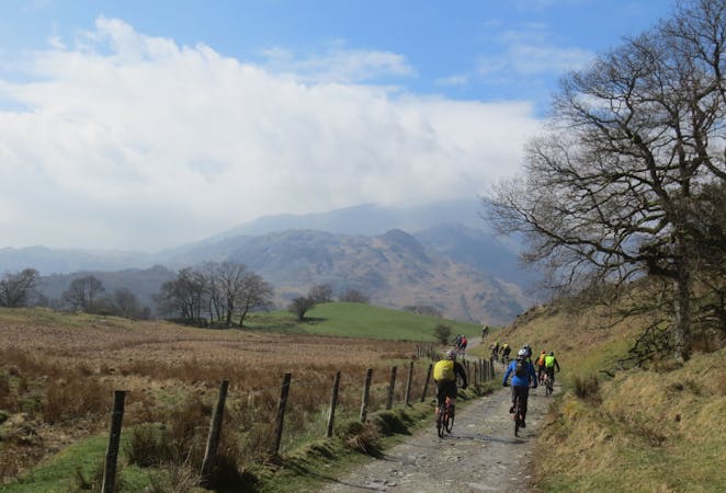
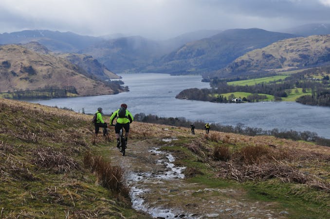
From Under Loughrigg Lane, an initial steep climb takes you up over Loughrigg Fell and down on fast tracks to Tarn Foot. Quiet back roads past Skelwith Bridge and a short tarmac uphill then lead to a punchy climb up onto Iron Keld. Interesting riding leads over the high pastureland and down to a rough byway which is followed towards the road, and then a slate-strewn descent to Hodge Close Quarry. Rocky and quite challenging tracks continue through Tilberthwaite and into Little Langdale, before another climb and rocky descent into the pretty little village of Elterwater. A steady road climb up towards High Close accesses Loughrigg Terrace and a scenic and fun ride above Rydal water (This is a VERY popular walking area so either avoid at busy times or be prepared to stop and be courteous to the many families who enjoy walking in this area). Traverse past the spooky and impressive Rydal caves and enjoy a final bouldery descent before the road spin back to Under Loughrigg.