2.7 km away
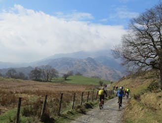
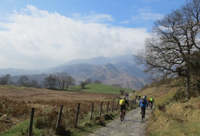
Ullswater Singletrack Loop
A fantastic technical ride which packs a lot into its relatively short distance, this is one for experienced riders.
Severe Mountain Biking
- Distance
- 17 km
- Ascent
- 607 m
- Descent
- 608 m
A Lakeland classic that provides a fine day out in the big hills for riders with strong legs and lungs!
Mountain Biking Severe

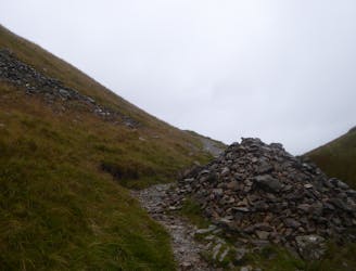
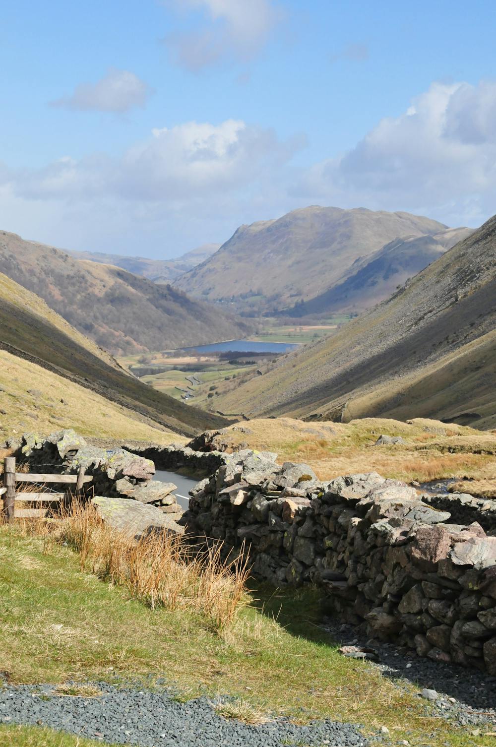
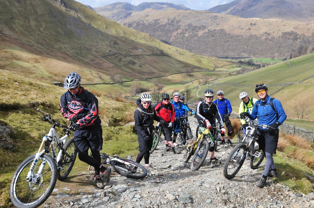
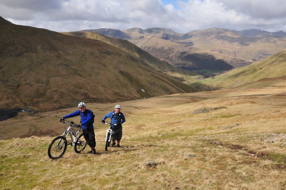
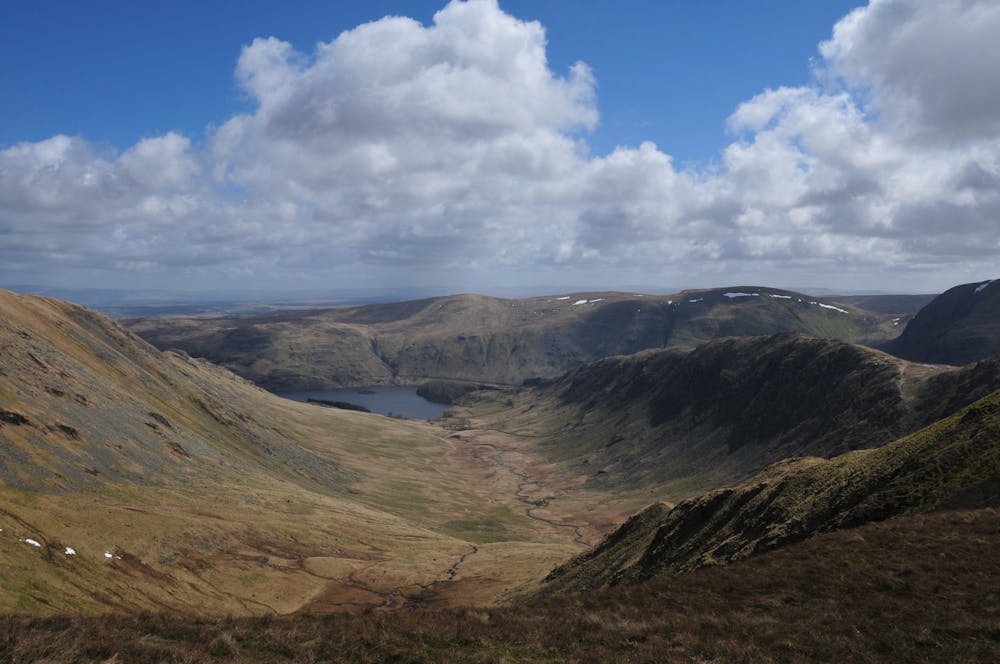
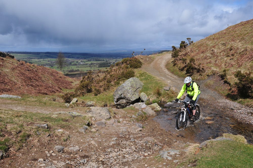
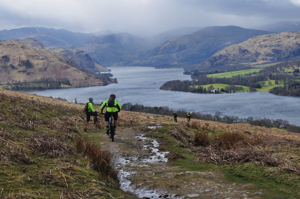
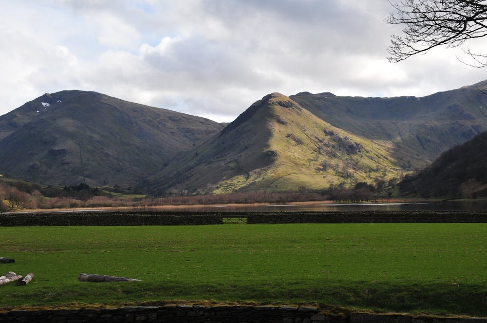
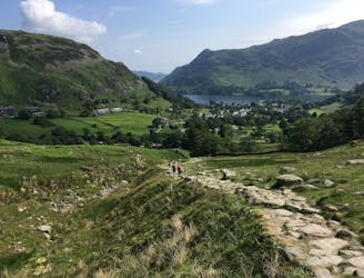
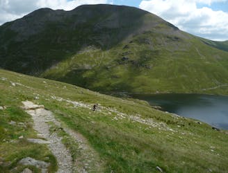
Starting with a brutal grind straight out of the carpark at Low Hartsop, you'll get a flavour of what's in store on this ride! Once at Hayeswater, steep pushing/carrying/climbing takes you up to a better defined and more rideable track heading from the Knott to Rampsgill Head. There are impressive views in all directions on a good day but it's not somewhere you'd really want to be on a bad one! Undulating riding follows the ridge over High Raise, Wether Hill and Loadpot Hill, from where a fast, swoopy, grassy descent drops you down to a track junction. Turning back on yourself, another fun flowy descent leads to Howtown, and a contouring bridleway and steady road and track climbing section up the quiet valley of Boredale. the last section is a steep carry but it's over quickly, and soon you'll be hurtling down the final fast and steep descent...just make sure you can stop for any walkers on their way up! A pleasant wide track and short road section deliver you back to Hartsop to finish this great day out.
Severe
Widely variable, narrow trail tread with steeper grades and unavoidable obstacles of 15in/38cm tall or less. Obstacles may include unavoidable bridges 24in/61cm wide or less, large rocks, gravel, difficult root sections, and more. Ideal for advanced-level riders.
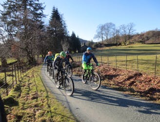
2.7 km away
A fantastic technical ride which packs a lot into its relatively short distance, this is one for experienced riders.
Severe Mountain Biking
4 km away
An out and back route from Glenridding to Helvellyn, which is the easiest way up and down this huge Lakeland Fell.
Difficult Mountain Biking
4 km away
A big route up England's highest legally ride-able hill, with a long steep and technical descent on challenging trails suitable for experienced riders.
Extreme Mountain Biking
7.9 km away
A mammoth outing from Grasmere climbing up and over the entire Helvellyn ridge, before returning on the Old Coach Road and back on the Thirlmere Valley road to Grasmere. This is a big mountain day out so pack a backpack accordingly!
Severe Mountain Biking
8.1 km away
A ride on the lesser used side of Helvellyn for fit and technically skilled riders prepared for a full-on mountain day!
Severe Mountain Biking
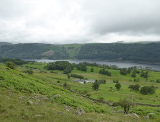
8.3 km away
This mountain bike route could definitely be called Loughrigg Lite in comparison to some possibilities in the area, but this wouldn’t really do justice to a superb little loop that in just 10km takes in a little of everything that’s good about Lakeland mountain biking.
Moderate Mountain Biking
9.4 km away
A superb and popular ride with stunning views, testing but rideable climbs, and brilliant descents.
Difficult Mountain Biking
9.5 km away
A big day out with a tough climb up to Helvellyn, a ridge-top adventure crossing the Dodds, fast grassy singletrack, and the great descent of the Old Coach Road to St John's in the Vale.
Severe Mountain Biking
7 routes · Mountain Biking

3 routes · Mountain Biking