4.7 km away
East Lomond (448m) Circular from Falkland
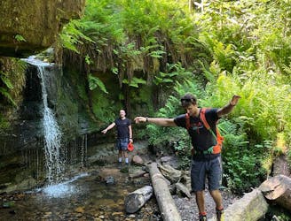
Forests, summits, roads, public toilets and waterfalls - this lovely walk has it all!
Moderate Hiking
- Distance
- 7 km
- Ascent
- 387 m
- Descent
- 387 m
A gentle day out with excellent views across Fife from the summit!
Hiking Moderate

Although not as prominent as its neighbours – East (448m) and West (522m) Lomond – Bishop hill adds its charm to the Lomond Hills with a gentle circular walk starting from Holl reservoir. A roughly 45-minute drive from Edinburgh, this walk is another example of a nice ‘wee’ day out in the Lomond Hills from Scotland’s capital.
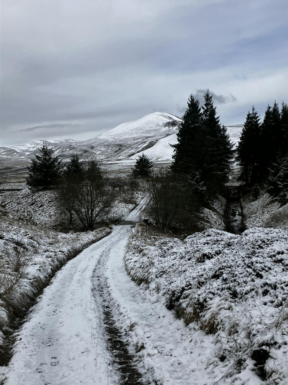
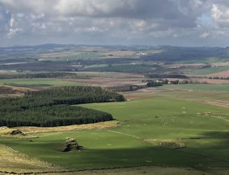
Park at the Holl reservoir car park on the side of the road. Set off northwest following the road that snakes its way through some farms before ending up on a dirt track. This track will take you up into the hills with excellent views behind you of the reservoir and the ocean in the distance.
Follow this track for a while before reaching the shores of Harperleas reservoir. Hug the reservoir in the trees before reaching a small bridge going over Lothrie Burn. This next section of path does become wet and boggy so some hopping might be required to avoid the puddles.
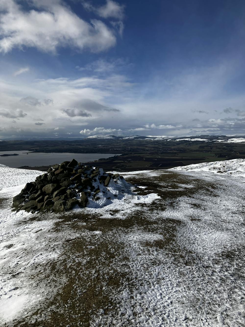
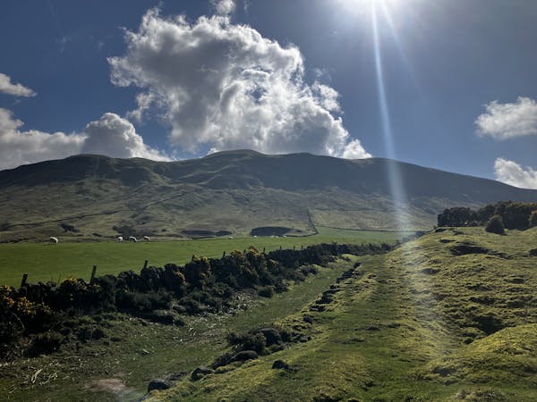
Continue west on this path with West Lomond on the right and Bishop Hill on your left. The path starts to snake left before ascending the eastern flank of Bishop Hill. Follow the GPX file and watch out for the sharp right turn which sees you amble your way up to the ridge and finally summit of Bishop Hill.
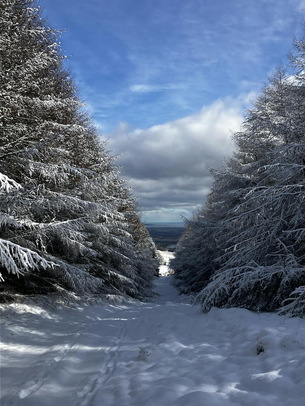
After a selfie and a sandwich head south along the ridge and follow the path as it snakes around to the left before descending south towards the conifer forest. Enter the forest and begin the long and straight walk back to the car via a farm track. Once you hit the tarmac road turn right and you’ll be back at the car park.
This hike and guide were completed during winter weather conditions. This is just one opinion of this route. Make sure to do your own research by consulting local internet resources, mountain guides or guidebooks to evaluate other opinions so you can be best prepared for the terrain. A Guide by Red
Moderate
Hiking along trails with some uneven terrain and small hills. Small rocks and roots may be present.

The trail contains some obstacles such as outcroppings and rock which could cause injury.
Away from help but easily accessed.
4.7 km away
Forests, summits, roads, public toilets and waterfalls - this lovely walk has it all!
Moderate Hiking
6.1 km away
Fascinating rock formations and the highest peak in the county of Fife!
Moderate Hiking
3 routes · Hiking