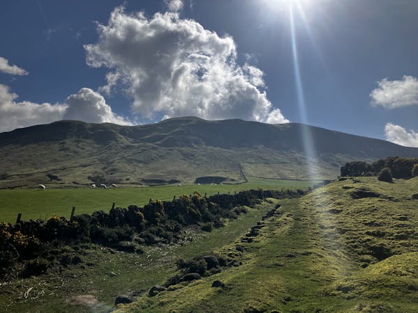
Bishop Hill (461m) Circular from Holl Reservoir
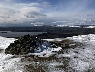
A gentle day out with excellent views across Fife from the summit!
Moderate Hiking
- Distance
- 12 km
- Ascent
- 278 m
- Descent
- 278 m
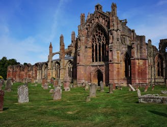
Go hiking in Fife with curated guides of the best hikes across the region. With over 5 3D trail maps in FATMAP, you can easily discover and navigate the best trails in Fife.
No matter what your next adventure has in store, you can find a guide on FATMAP to help you plan your next epic trip.
Get a top hiking trail recommendation in Fife from one of our 2 guidebooks, or get inspired by the 5 local adventures uploaded by the FATMAP community. Start exploring now!
A gentle day out with excellent views across Fife from the summit!
Moderate Hiking
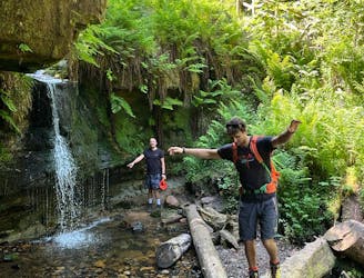
Forests, summits, roads, public toilets and waterfalls - this lovely walk has it all!
Moderate Hiking
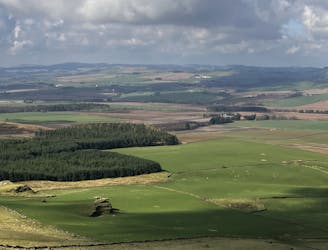
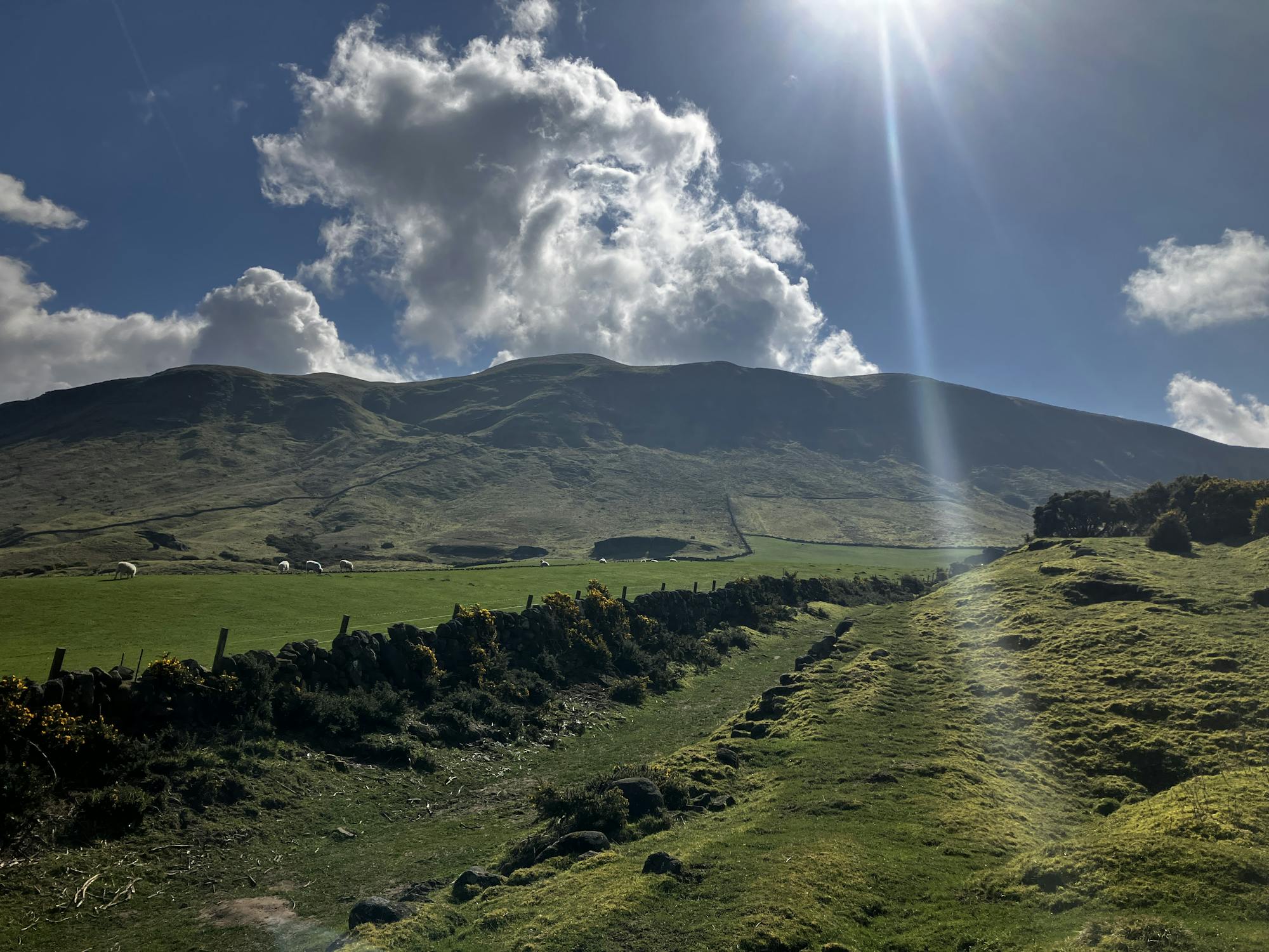
Fascinating rock formations and the highest peak in the county of Fife!
Moderate Hiking
A superb long distance trek from the Lowlands to the Highlands, across the country of Scotland.
Difficult Hiking

9 routes · Hiking
3 routes · Hiking