The Round of Marchlyn Mawr
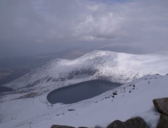
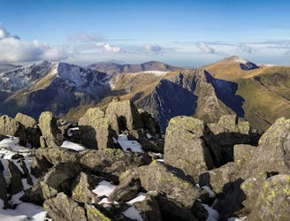
Hideously scarred and cruelly exploited it may well be, but Elidir Fawr is often the choice of the connoisseur when a quick 3000er is the order of the day.
Difficult Hiking
- Distance
- 6.9 km
- Ascent
- 621 m
- Descent
- 397 m
An easy hike with epic views of Snowdonia
Hiking Easy

This is a popular hiking route which is generally considered to be easy. It's an unknown remoteness, it features unknown exposure and is typically done in an unknown time of year. From a low point of 364 m to the maximum altitude of 816 m, the route covers 8.2 km, 492 vertical metres of ascent and 492 vertical metres of descent.
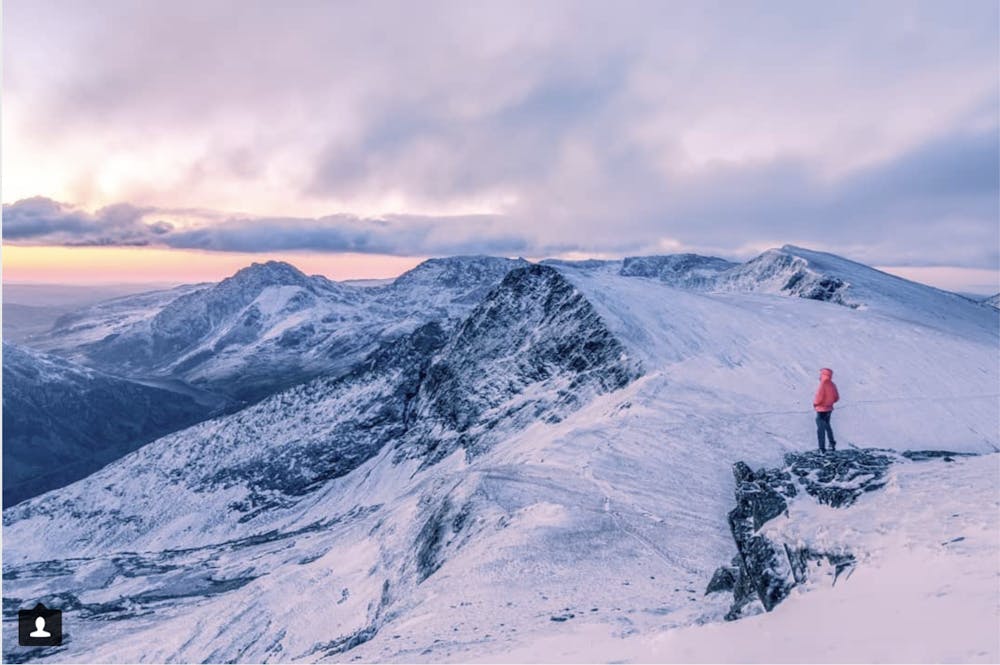
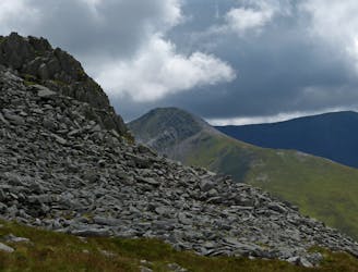
An easy hike with epic landscape views on Mynydd Perfedd (792m) in Snowdonia, North Wales.
Easy
Walking along a well-kept trail that’s mostly flat. No obstacles are present.
Hideously scarred and cruelly exploited it may well be, but Elidir Fawr is often the choice of the connoisseur when a quick 3000er is the order of the day.
Difficult Hiking
5.9 km away
One of Snowdonia's most classic hikes along one of its most scenic ridges
Difficult Hiking
7.2 km away
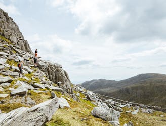
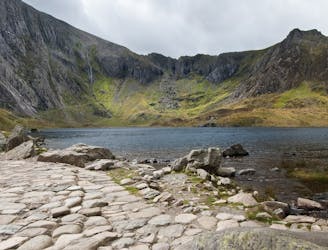
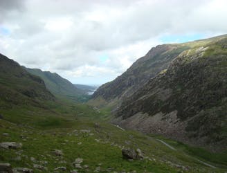
Snowdon's horseshoe may have the majesty, but Ogwen's own circular classic boasts more and better scrambling.
Extreme Hiking
7.6 km away
If it’s a superb walk in relative solitude you’re after then folk in the know will point you at those big old lumps where scenes of genuine grandeur can also be won, but unlike the cheap thrills of their Ogwen brethren, the secrets of the Carneddau must be earned.
Difficult Hiking
8.8 km away
A good challenge for any fit walker, which also is one of the best walks in Snowdownia.
Extreme Hiking
9 km away
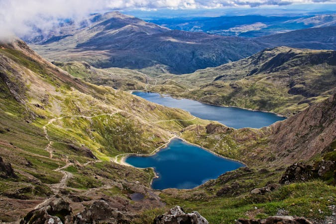
Perhaps it's only fitting that the highest mountain in Wales boasts the country's greatest all-day scrambly ridge traverse.
Extreme Hiking

18 routes · Alpine Climbing · Hiking
10 routes · Hiking