83 m away
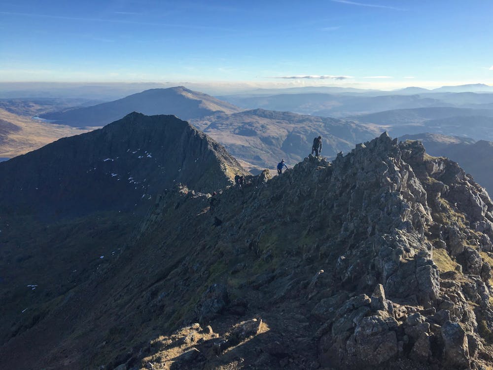
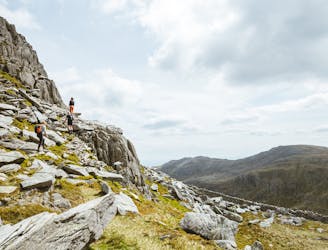
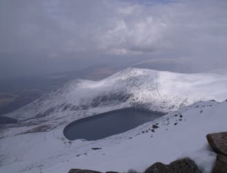
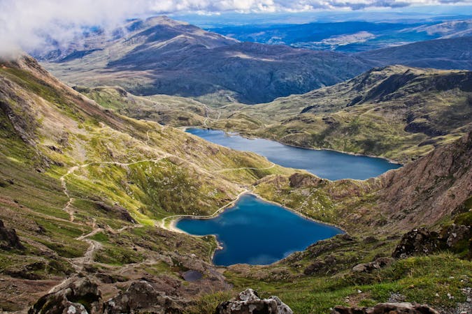
Snowdon Horseshoe including Crib Goch
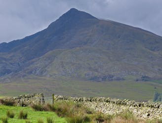
Perhaps it's only fitting that the highest mountain in Wales boasts the country's greatest all-day scrambly ridge traverse.
Extreme Hiking
- Distance
- 12 km
- Ascent
- 1 km
- Descent
- 1 km
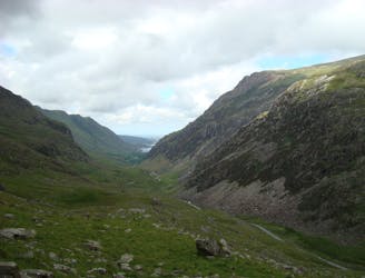
The UK's toughest 24-hour mountain challenge - 15 peaks | 46km | 4000m ascent
Also in Conwy, United Kingdom
Hiking Severe

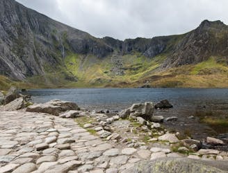
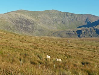
This is a popular hiking route which is generally considered to be severe. It's remote, it features high exposure and is typically done between April and September. From a low point of 109 m to the maximum altitude of 1.1 km, the route covers 47 km, 3791 vertical metres of ascent and 3739 vertical metres of descent.
Taking on the Welsh 3000s - the 15 highest peaks in Wales, all over 3000ft - requires commitment, endurance & careful planning.
Severe
Hiking challenging trails where simple scrambling, with the occasional use of the hands, is a distinct possibility. The trails are often filled with all manner of obstacles both small and large, and the hills are very steep. Obstacles and challenges are often unexpected and can be unpredictable.

Some trail sections have exposed ledges or steep ascents/descents where falling could cause serious injury.

Away from help but easily accessed.
83 m away
Perhaps it's only fitting that the highest mountain in Wales boasts the country's greatest all-day scrambly ridge traverse.
Extreme Hiking
4 km away
A good challenge for any fit walker, which also is one of the best walks in Snowdownia.
Extreme Hiking
4.7 km away
One of Snowdonia's most classic hikes along one of its most scenic ridges
Difficult Hiking
4.9 km away
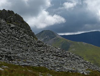
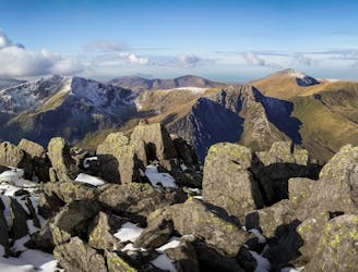
Snowdon's horseshoe may have the majesty, but Ogwen's own circular classic boasts more and better scrambling.
Extreme Hiking
5.3 km away
If it’s a superb walk in relative solitude you’re after then folk in the know will point you at those big old lumps where scenes of genuine grandeur can also be won, but unlike the cheap thrills of their Ogwen brethren, the secrets of the Carneddau must be earned.
Difficult Hiking
7.3 km away
This walk around Cnicht and it aqueous environs is one of the most enjoyable in Snowdonia offering some of the finest views in the national park, a smidgeon of optional scrambling and a tour of the most enchanting llynau imaginable.
Difficult Hiking
8.2 km away
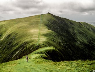
A grassy stride along elegant curved arêtes, the traverse of the main ridge linking all the summits in the range is a classic Welsh walk, with a rare sense of peace and spacious seaward views.
Severe Hiking
8.2 km away
Snowdon isn’t short of great walking routes to its crowded summit, but if you think they are all infested with other folk you can think again.
Difficult Hiking
9 km away
When it comes to half day outings in Snowdonia, the ascent of Moel Siabod via the ridges that enclose Cwm y Foel is up there with the very best.
Moderate Hiking
9 km away
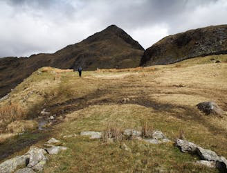
Hideously scarred and cruelly exploited it may well be, but Elidir Fawr is often the choice of the connoisseur when a quick 3000er is the order of the day.
Difficult Hiking

18 routes · Alpine Climbing · Hiking
10 routes · Hiking