48 m away
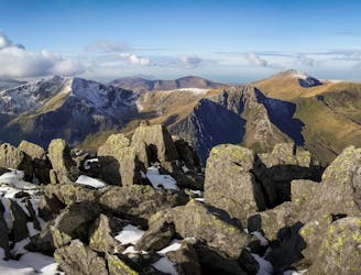
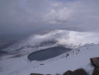
Glyder Fawr and Glyder Fach
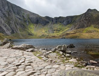
One of Snowdonia's most classic hikes along one of its most scenic ridges
Difficult Hiking
- Distance
- 8.5 km
- Ascent
- 766 m
- Descent
- 766 m
YHA Idwal - Y Garn - Elidir Fawr - Mynydd Perfedd - Carnedd Y Filiast - Lon Las Ogwen - YHA Idwal
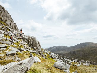
Hiking Difficult

This is a popular hiking route which is generally considered to be difficult. It's remote, it features high exposure and is typically done between February and November. From a low point of 199 m to the maximum altitude of 937 m, the route covers 17 km, 1154 vertical metres of ascent and 1154 vertical metres of descent.
YHA Idwal - Y Garn - Elidir Fawr - Mynydd Perfedd - Carnedd Y Filiast - Lon Las Ogwen - YHA Idwal
Difficult
Hiking trails where obstacles such as rocks or roots are prevalent. Some obstacles can require care to step over or around. At times, the trail can be worn and eroded. The grade of the trail is generally quite steep, and can often lead to strenuous hiking.

Some trail sections have exposed ledges or steep ascents/descents where falling could cause serious injury.

Away from help but easily accessed.
48 m away
One of Snowdonia's most classic hikes along one of its most scenic ridges
Difficult Hiking
1.4 km away
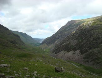
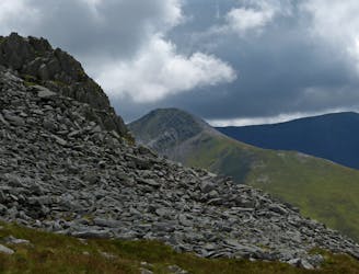
Snowdon's horseshoe may have the majesty, but Ogwen's own circular classic boasts more and better scrambling.
Extreme Hiking
1.9 km away
If it’s a superb walk in relative solitude you’re after then folk in the know will point you at those big old lumps where scenes of genuine grandeur can also be won, but unlike the cheap thrills of their Ogwen brethren, the secrets of the Carneddau must be earned.
Difficult Hiking
4.8 km away
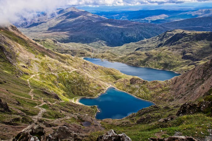
Perhaps it's only fitting that the highest mountain in Wales boasts the country's greatest all-day scrambly ridge traverse.
Extreme Hiking
6 km away
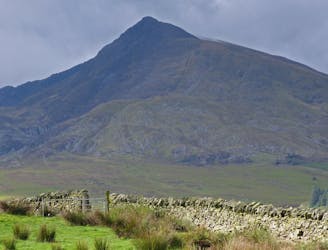
Hideously scarred and cruelly exploited it may well be, but Elidir Fawr is often the choice of the connoisseur when a quick 3000er is the order of the day.
Difficult Hiking
7.2 km away
A good challenge for any fit walker, which also is one of the best walks in Snowdownia.
Extreme Hiking
9.2 km away
When it comes to half day outings in Snowdonia, the ascent of Moel Siabod via the ridges that enclose Cwm y Foel is up there with the very best.
Moderate Hiking

18 routes · Alpine Climbing · Hiking
10 routes · Hiking