

61 m away
West Highland Way 7: Kinlochleven to Ft.William
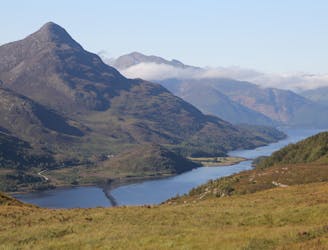
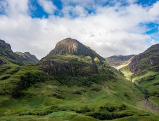
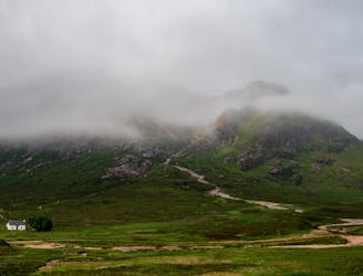
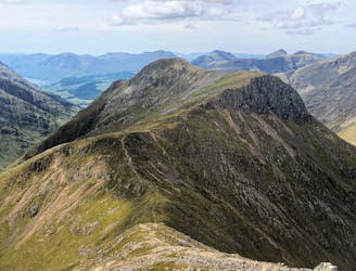
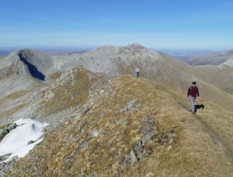
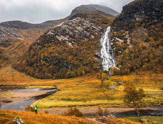
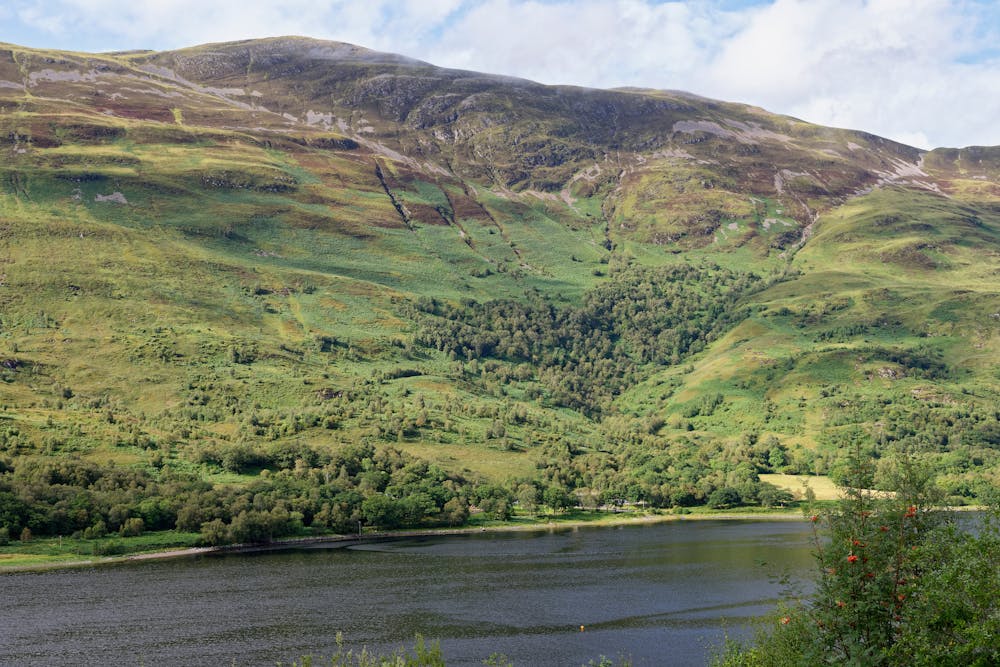
This final stage of the route nicely rounds off the WHW, running from the attractive wooded shores of Loch Leven and over the desolate high pass of the Lairig Mor beneath the southern flank of the Mamores.
Moderate Hiking
- Distance
- 25 km
- Ascent
- 698 m
- Descent
- 700 m