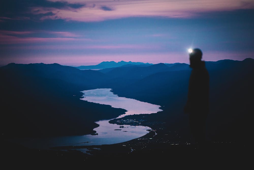
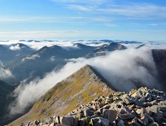
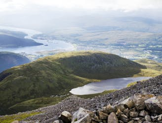
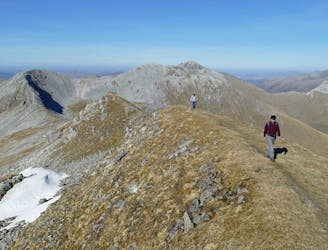
The munros here are grand and with limited trails, the intiial descent is a bit of a slog but you’ll soon be rewarded with excellent views of the sea lochs surrounding Fort William. Once on the plateau at the top of the ski area, the out and back to Aonach Beag (1234m) is a much more relaxed affair with some spectacular panoramic views including the dominating north face of the Ben.
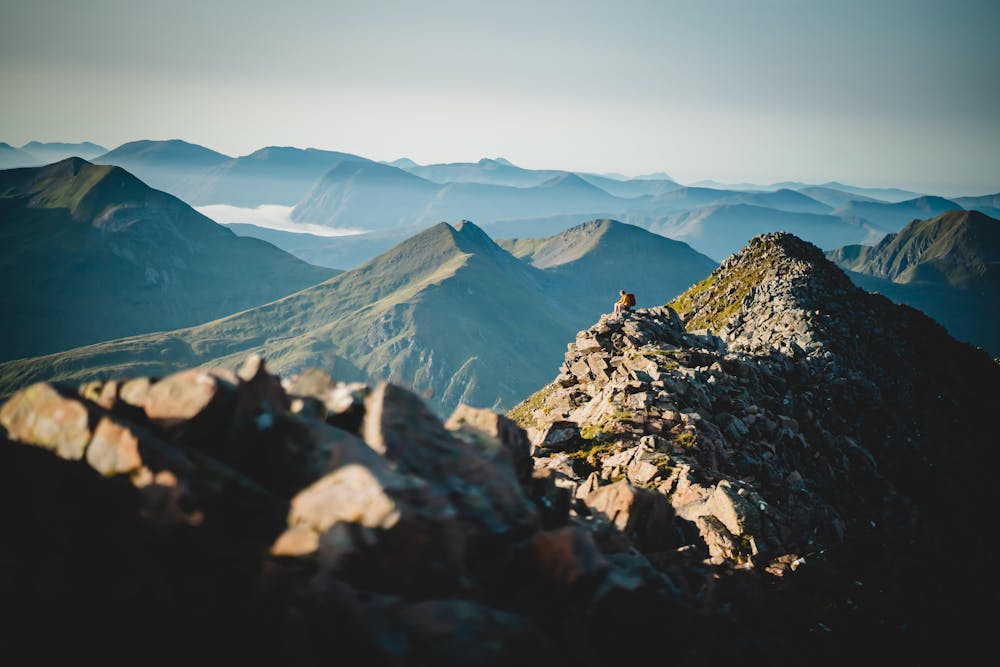
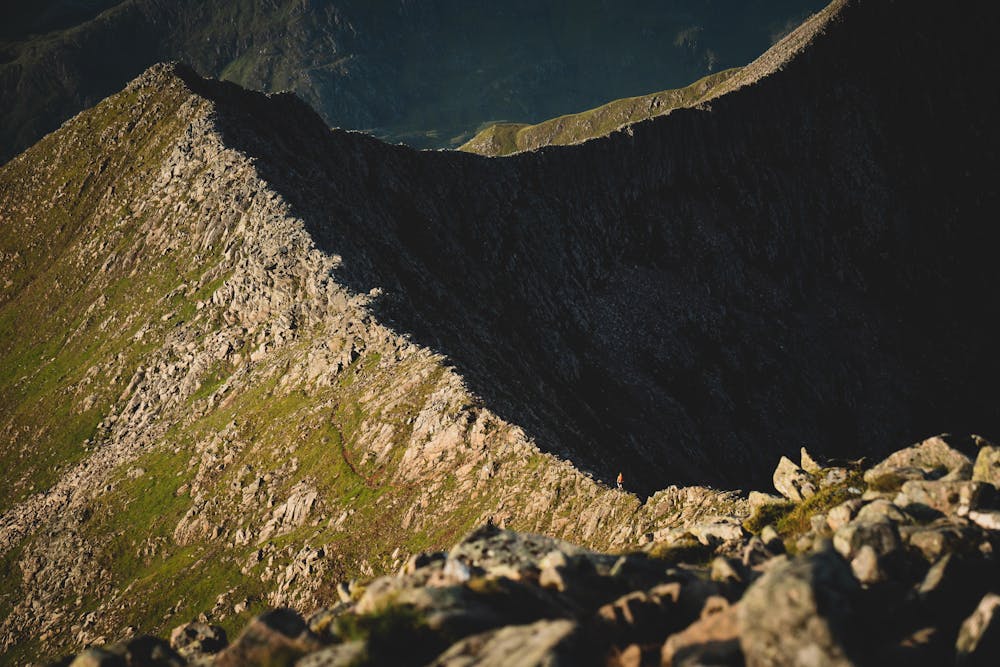
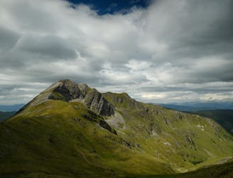
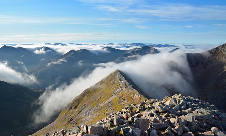
Take care descending the steep zigzags down the valley before climbing back up the iconic CMD arête (1220m). This beautiful ridge comes with a healthy dose of exposure (especially for those keen to stay high) so take care before you’re back in the boulders on the ascent to your final peak. Route finding through the rocks here can be challenging so take care following the path/GPX if you’re in the clouds. Enjoy your moments on the UK’s highest peak, Ben Nevis (1344m) before descending the tourist path before taking a right at Lochan Meall and off back around the back of the Ben eventually joining the path that leads to the CIC hut. This is a fitting finish for a great route before returning back to the Nevis centre.
Those looking for a big day out, jump on your bike and cycle to Cairngorm resort to finish the Scottish 4000ers in under 24 hours.