3.8 km away
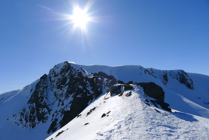
The Legendary Cairngorm 4000ers route - an anti clockwise skier's variant.
Taking in 5 of Scotland's 10 highest mountains in one giant, beautiful day out.
Severe Ski Touring
- Distance
- 30 km
- Ascent
- 2.7 km
- Descent
- 2.5 km
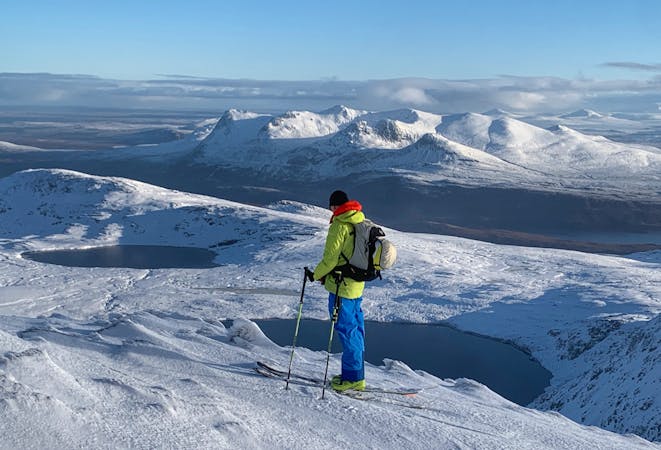
Round trip from ski centre over Cairn Gorm and Cairn Lochan
Ski Touring Moderate

This is a popular ski touring route which is generally considered to be moderate. It's remote, it features low exposure (e1) and is typically done between January and April. From a low point of 598 m to the maximum altitude of 1.2 km, the route covers 11 km, 893 vertical metres of ascent and 893 vertical metres of descent. It's graded 2.1 and Labande grade 2. You'll need skins and crampons to complete it safely.
Round trip from ski centre over Cairn Gorm and Cairn Lochan before descending back to the car park.
Moderate
Slopes become slightly steeper at around 25-30 degrees.

Exposure is limited to that of the slope itself. Getting hurt is still likely if the slope is steep and/or the snow is hard.

Away from help but easily accessed.
3.8 km away
Taking in 5 of Scotland's 10 highest mountains in one giant, beautiful day out.
Severe Ski Touring
7.9 km away
A truly memorable bike/ski adventure in the Cairngorms
Moderate Ski Touring
9.6 km away
This incredible loop is well regarded as one of Scotland's best ski tours
Difficult Ski Touring
5 routes · Ski Touring
7 routes · Freeride Skiing · Ski Touring
6 routes · Ski Touring