3.8 km away
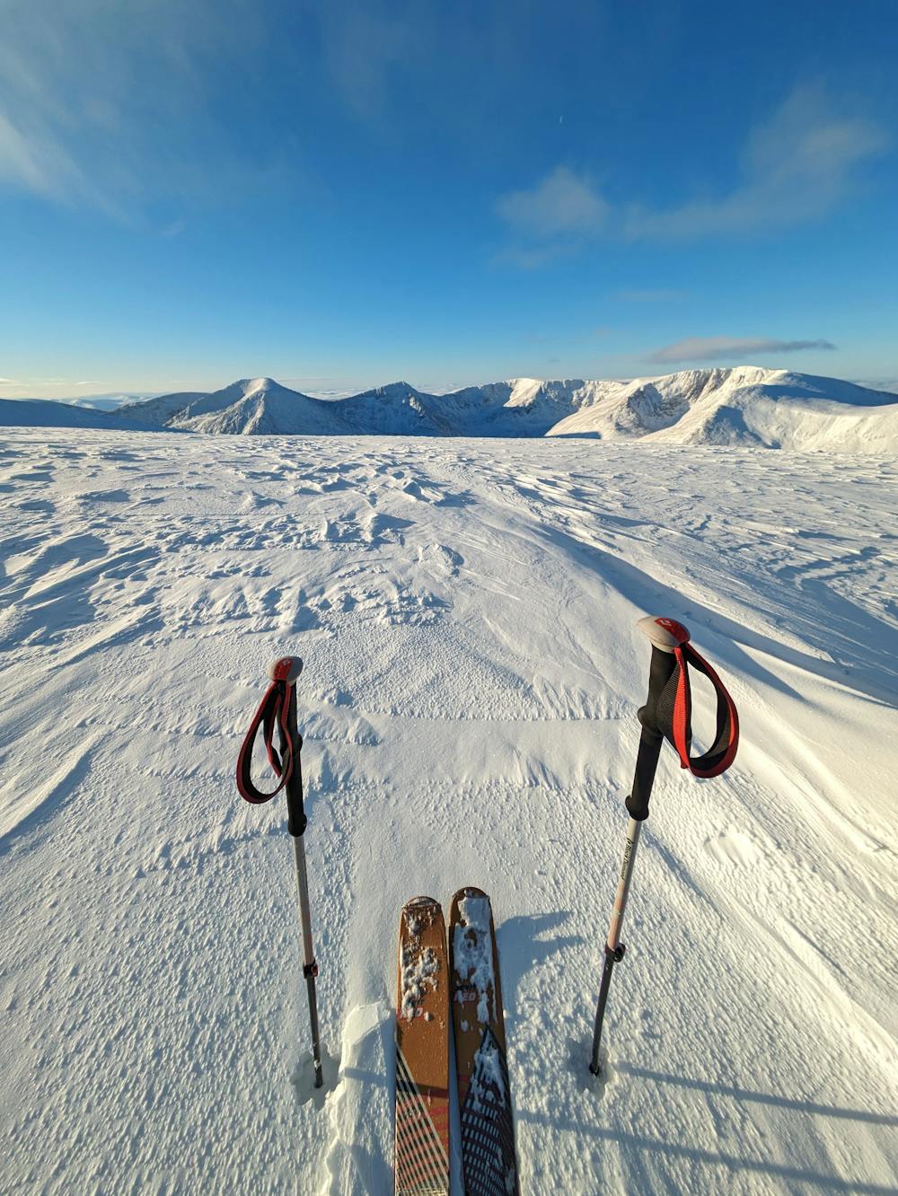
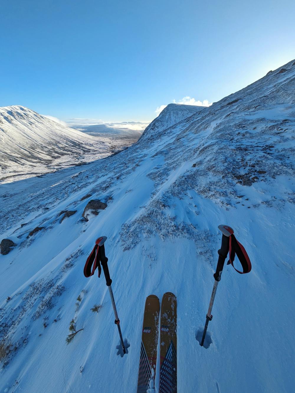
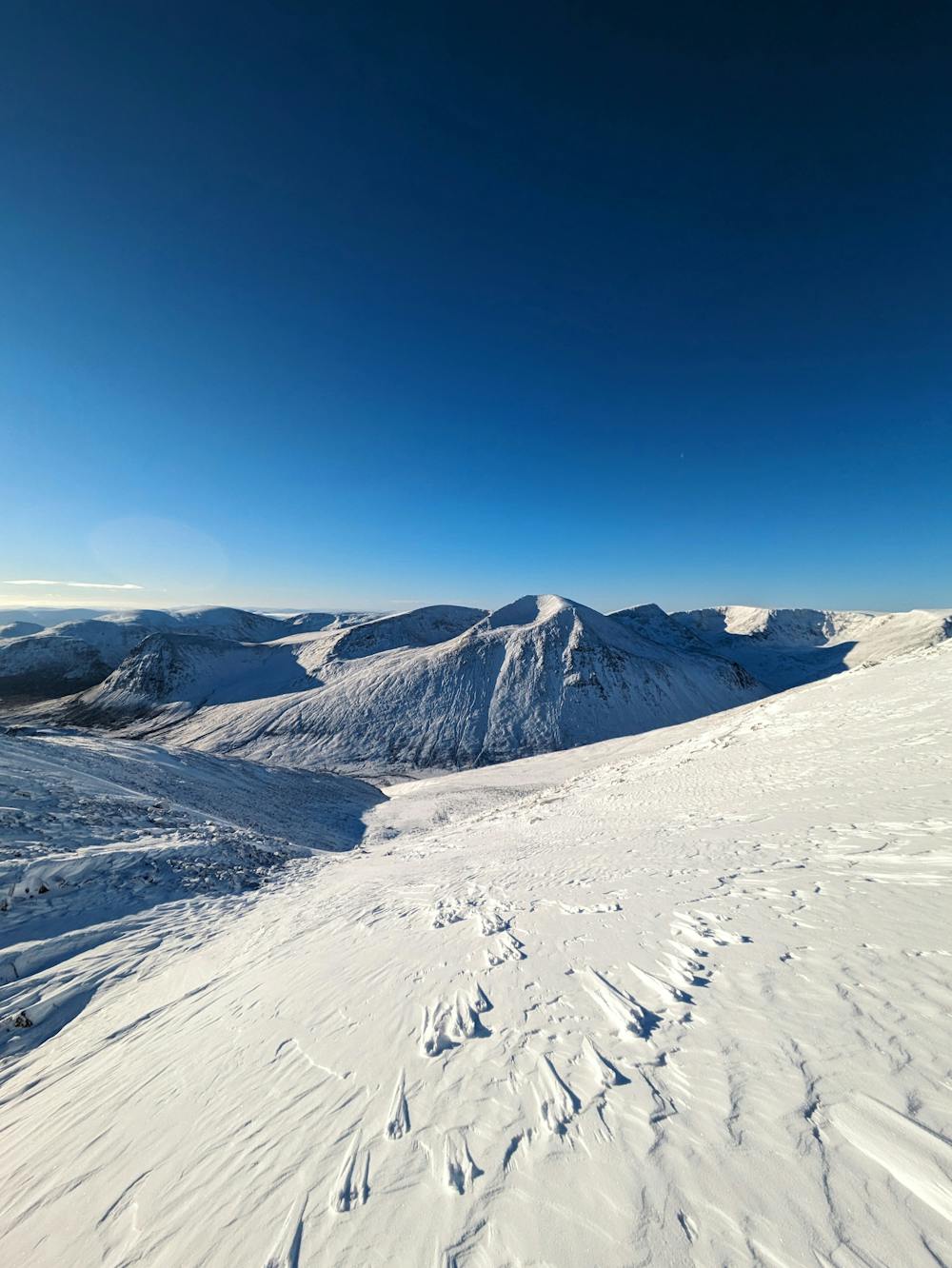
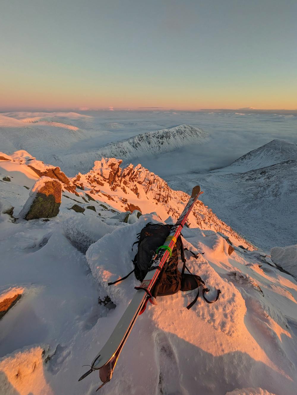
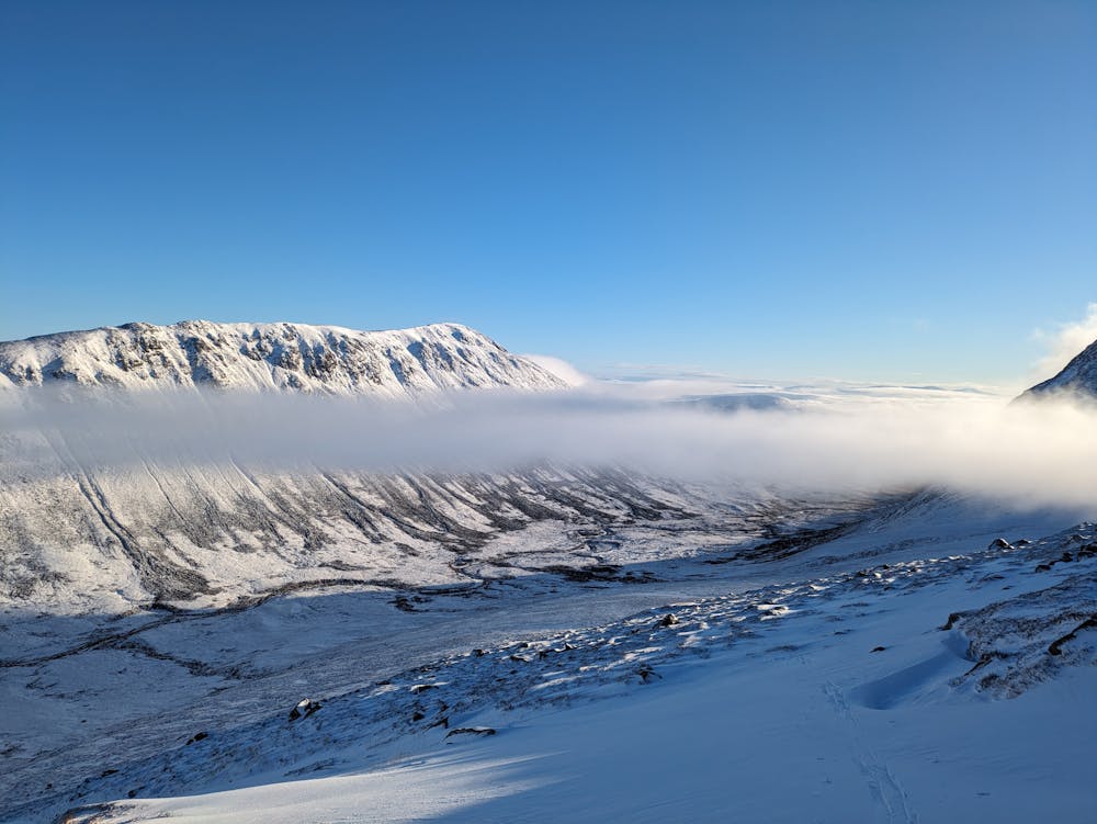
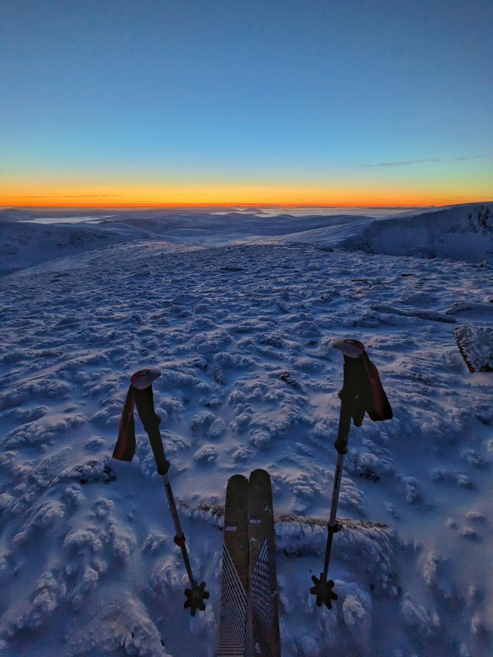
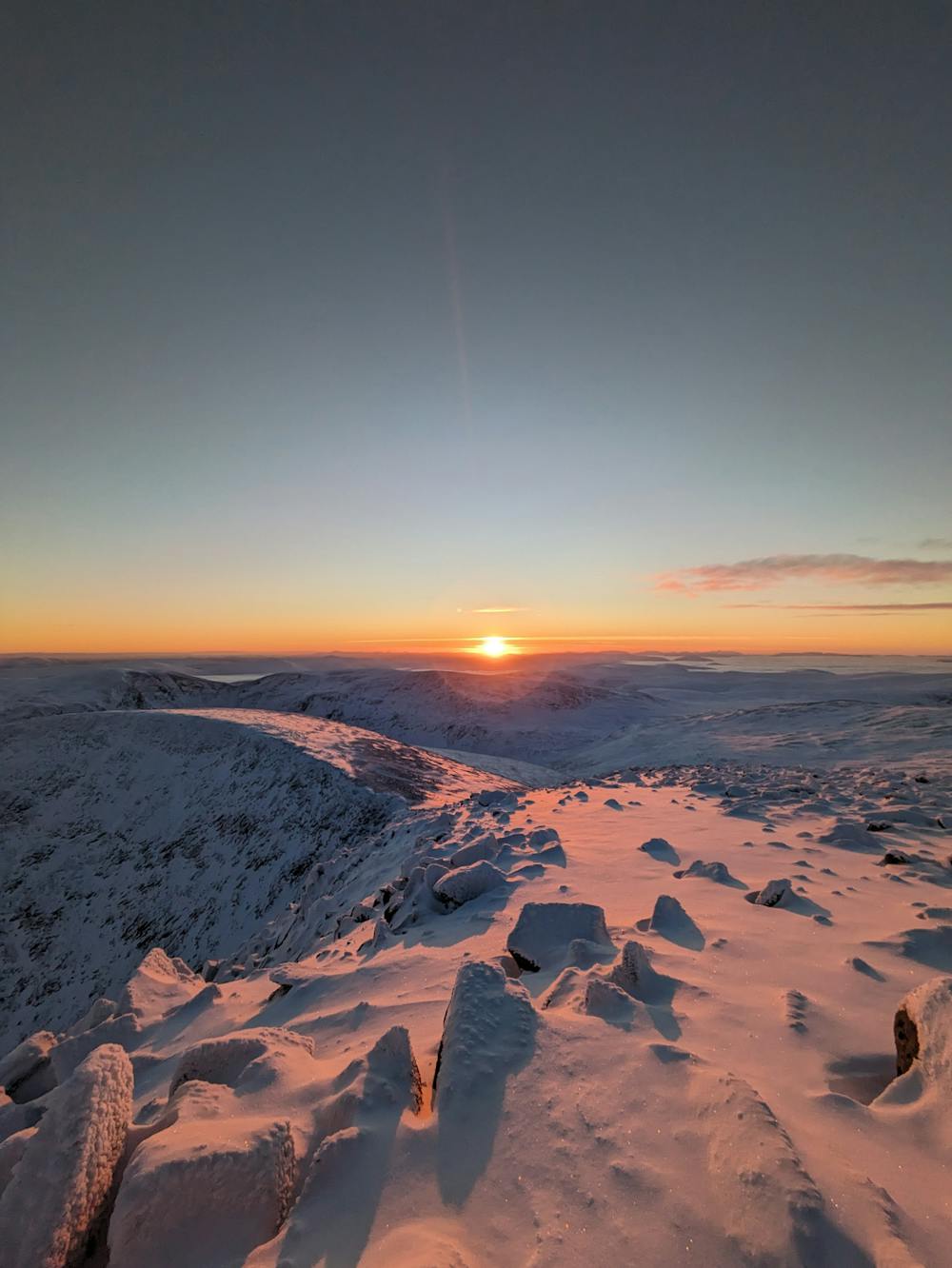
The Legendary Cairngorm 4000ers route - an anti clockwise skier's variant.
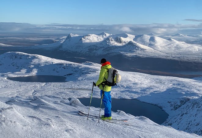
Taking in 5 of Scotland's 10 highest mountains in one giant, beautiful day out.
Severe Ski Touring
- Distance
- 30 km
- Ascent
- 2.7 km
- Descent
- 2.5 km
An early season route covering the five highest peaks within the Cairngorms National Park
Ski Touring Severe

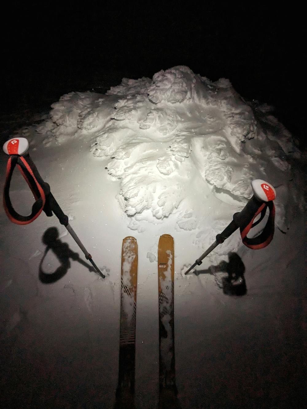
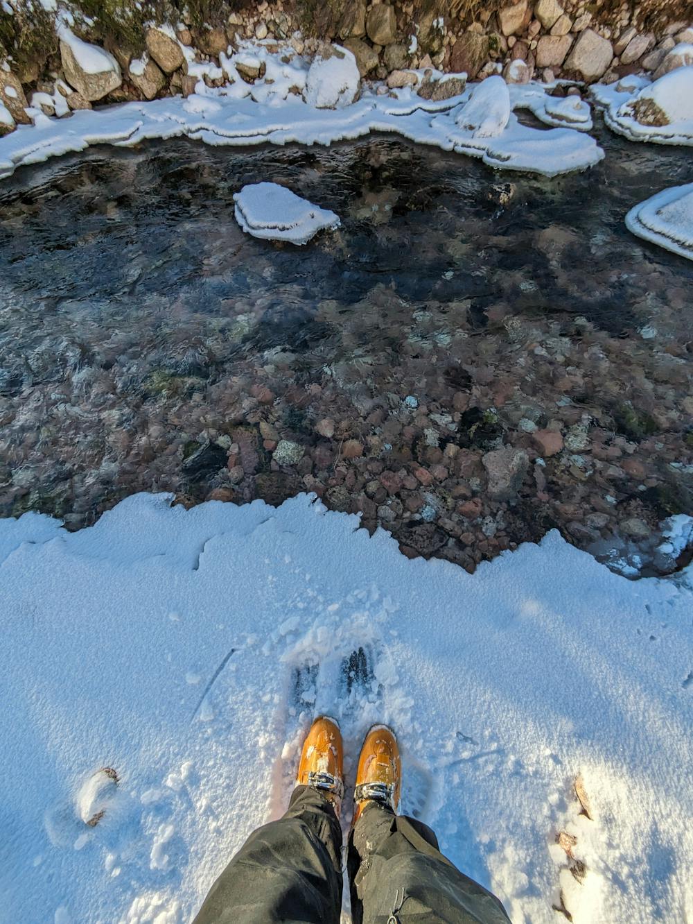
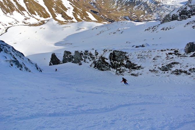
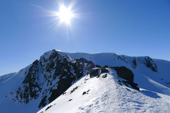
This is a popular ski touring route which is generally considered to be severe. It's extremely remote, it features medium exposure (e2) and is typically done between January and April. From a low point of 466 m to the maximum altitude of 1.3 km, the route covers 37 km, 2244 vertical metres of ascent and 2411 vertical metres of descent. You'll need skins, ice axe and crampons to complete it safely.
An early season route covering the five highest peaks within the Cairngorms National Park
Severe
Steep skiing at 38-45 degrees. This requires very good technique and the risk of falling has serious consequences.

As well as the slope itself, there are some obstacles (such as rock outcrops) which could aggravate injury.

In the high mountains or remote conditions, all individuals must be completely autonomous in every situation.
3.8 km away
Taking in 5 of Scotland's 10 highest mountains in one giant, beautiful day out.
Severe Ski Touring
7.9 km away
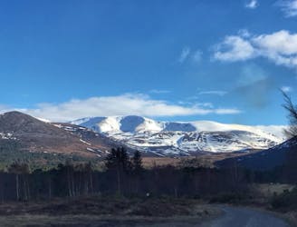
A truly memorable bike/ski adventure in the Cairngorms
Moderate Ski Touring
9.7 km away
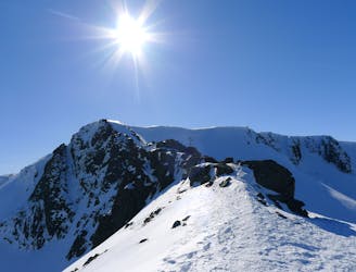
This incredible loop is well regarded as one of Scotland's best ski tours
Difficult Ski Touring
5 routes · Ski Touring
7 routes · Freeride Skiing · Ski Touring
6 routes · Ski Touring