7.4 km away
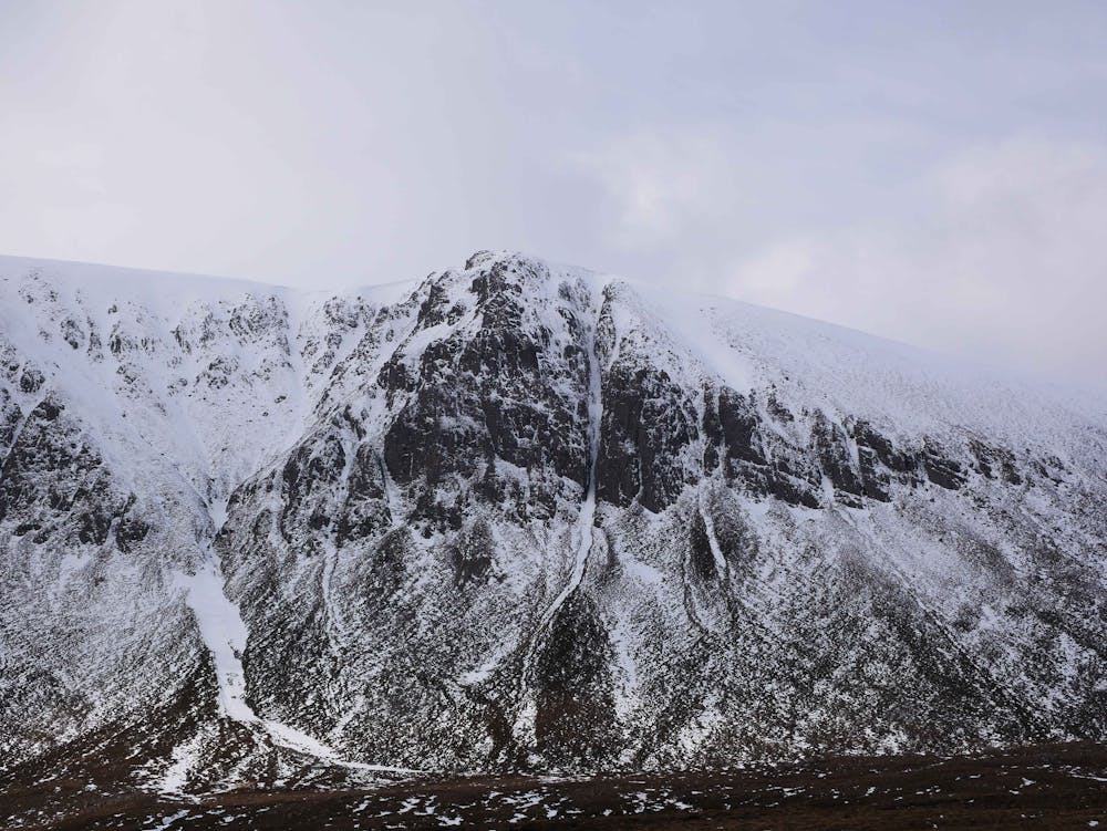
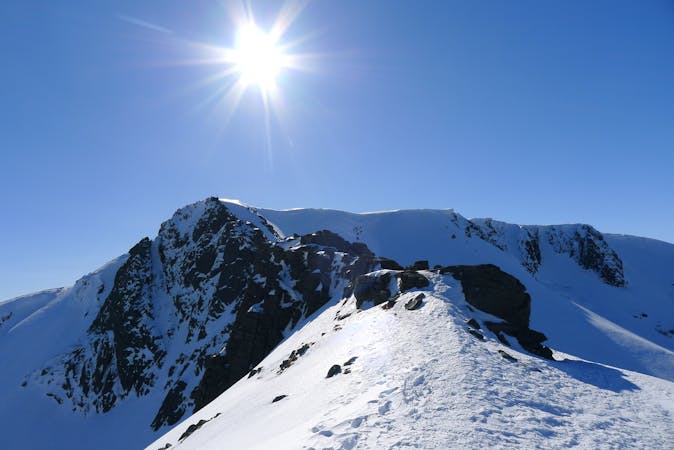
The Legendary Cairngorm 4000ers route - an anti clockwise skier's variant.
Taking in 5 of Scotland's 10 highest mountains in one giant, beautiful day out.
Severe Ski Touring
- Distance
- 30 km
- Ascent
- 2.7 km
- Descent
- 2.5 km
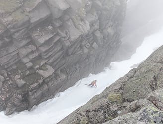
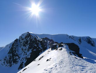
A west coast style "splitter" couloir, only in the Cairngorms...
Ski Touring Extreme

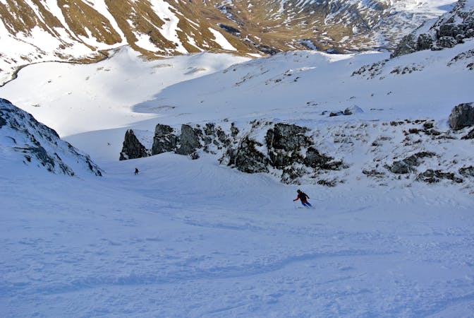
This is a popular ski touring route which is generally considered to be extreme. It's very remote, it features extreme exposure (e4) and is typically done between February and May. From a low point of 496 m to the maximum altitude of 981 m, the route covers 941 m, 0 vertical metres of ascent and 485 vertical metres of descent. You'll need rope, skins, ice axe and crampons to complete it safely.
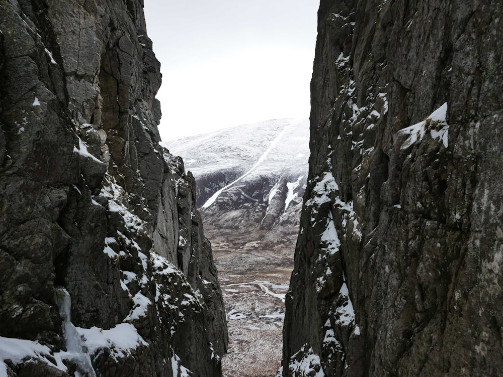
A much sought after steep ski descent in a deep gully far from the frequently skied lines in the Northern Cairngorms. Lying at a modest altitude you will need to wait for the optimum conditions for this one.
Extreme
Extreme skiing terrain above 45 degrees. These routes are reserved for experienced experts.

In case of a fall, the skier faces certain death.

Little chance of being seen or helped in case of an accident.
7.4 km away
Taking in 5 of Scotland's 10 highest mountains in one giant, beautiful day out.
Severe Ski Touring
7.8 km away
A truly memorable bike/ski adventure in the Cairngorms
Moderate Ski Touring
8.7 km away
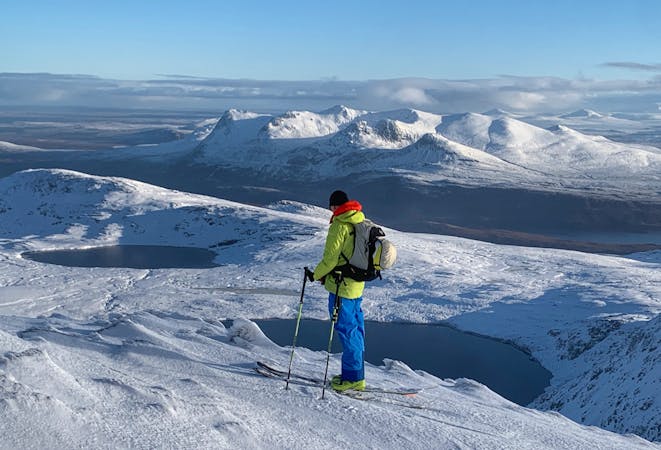
This incredible loop is well regarded as one of Scotland's best ski tours
Difficult Ski Touring
5 routes · Ski Touring
7 routes · Freeride Skiing · Ski Touring
6 routes · Ski Touring