523 m away
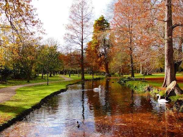
Parkland Walk
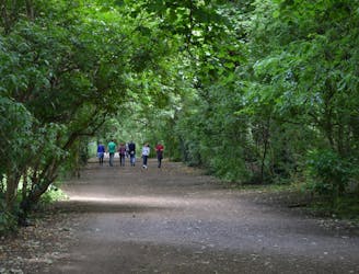
Amble along the old railway from Finsbury Park to Alexandra Palace, through London’s longest local nature reserve.
Easy Hiking
- Distance
- 6.1 km
- Ascent
- 133 m
- Descent
- 83 m
Also in Hackney, United Kingdom • Haringey, United Kingdom
Hiking Moderate
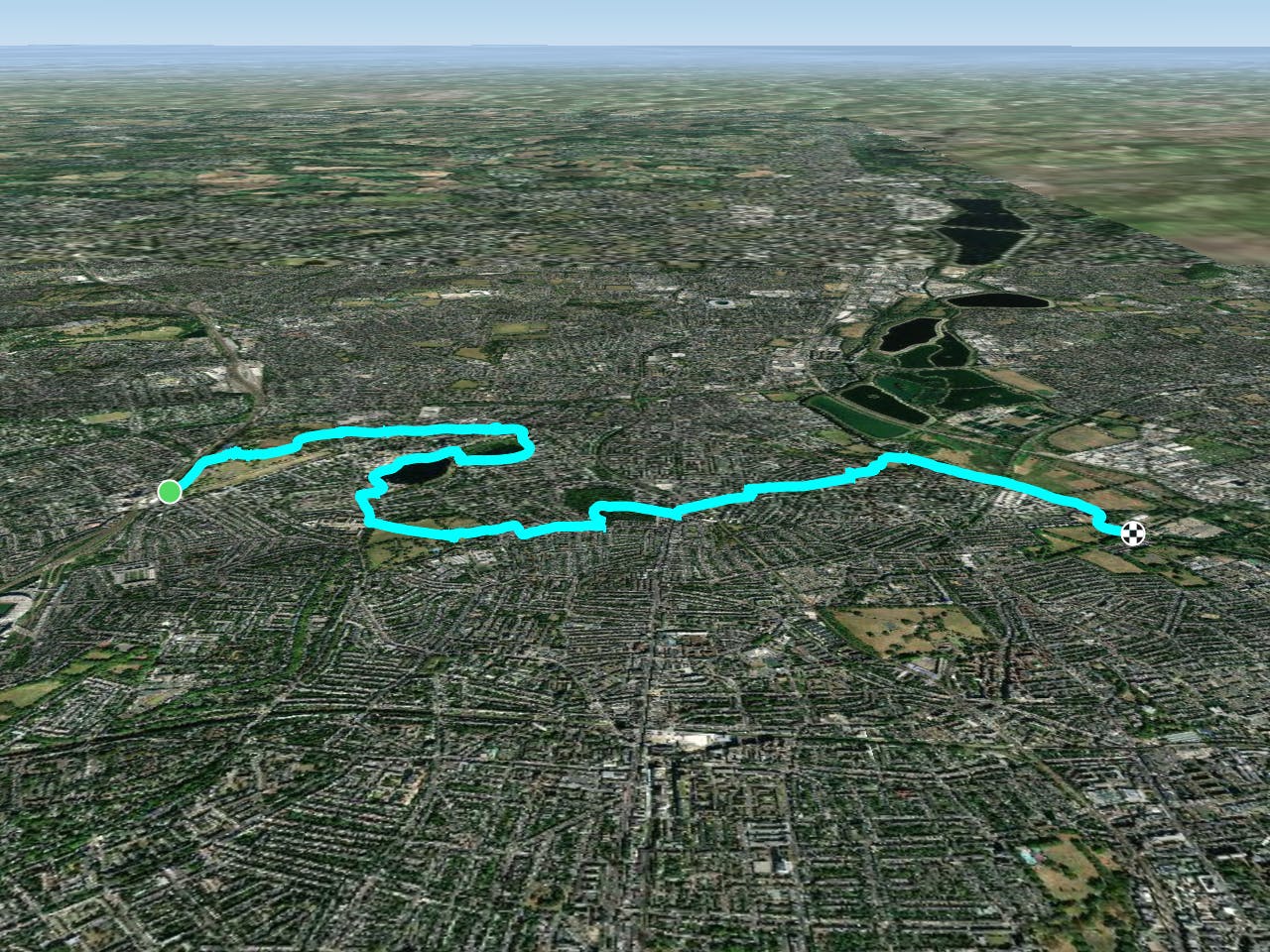
This is a popular hiking route which is generally considered to be moderate. It's an unknown remoteness, it features unknown exposure and is typically done in an unknown time of year. From a low point of 6 m to the maximum altitude of 56 m, the route covers 9.9 km, 57 vertical metres of ascent and 88 vertical metres of descent.
Moderate
Hiking along trails with some uneven terrain and small hills. Small rocks and roots may be present.
523 m away
Amble along the old railway from Finsbury Park to Alexandra Palace, through London’s longest local nature reserve.
Easy Hiking
5.2 km away
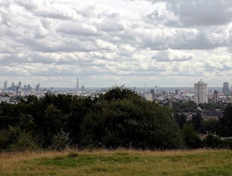
A stroll around Hampstead Heath and surrounding historical gems, including a very famous pub.
Easy Hiking
5.8 km away

Stroll around one of London's best known natural landmarks
Easy Hiking
9.6 km away
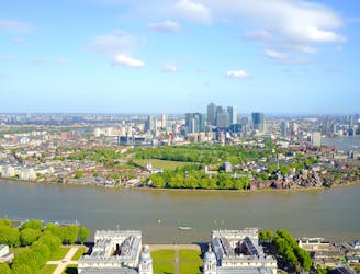
An amazingly varied journey through one of London's finest districts
Easy Hiking
5 routes · Hiking
4 routes · Hiking