6.5 km away
Abercastle to Goodwick

Pembrokeshire Coast Path
Difficult Hiking
- Distance
- 25 km
- Ascent
- 913 m
- Descent
- 902 m
Pembrokeshire Coast Path
Hiking Moderate

This is a popular hiking route which is generally considered to be moderate. It's very remote, it features medium exposure and is typically done between March and October. From a low point of 2 m to the maximum altitude of 123 m, the route covers 17 km, 556 vertical metres of ascent and 621 vertical metres of descent.
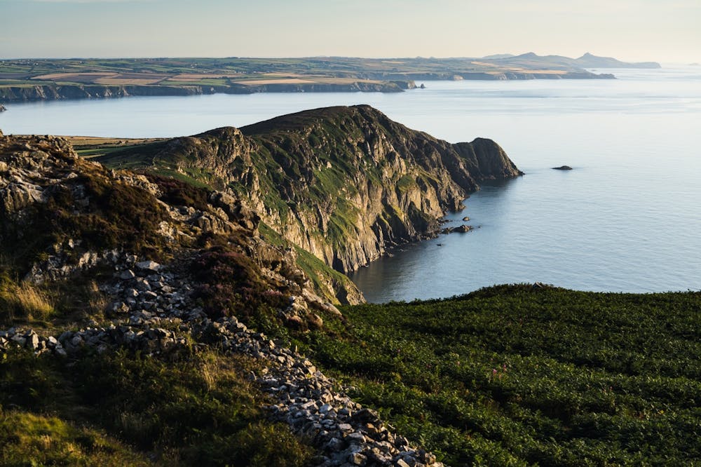
Pembrokeshire Coast Path
Moderate
Hiking along trails with some uneven terrain and small hills. Small rocks and roots may be present.

The trail contains some obstacles such as outcroppings and rock which could cause injury.

Little chance of being seen or helped in case of an accident.
6.5 km away
Pembrokeshire Coast Path
Difficult Hiking