
9 routes · Hiking
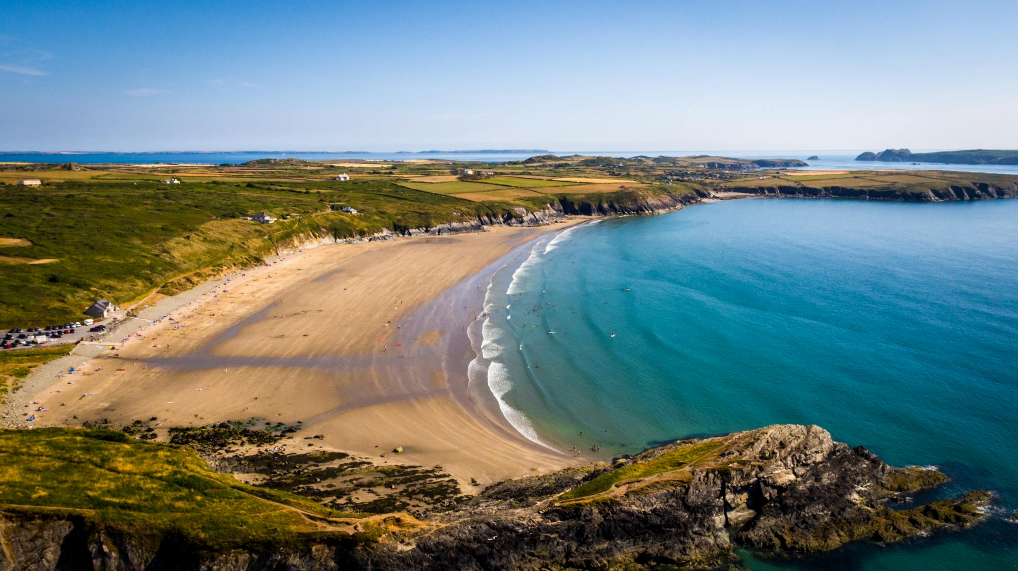
Explore Pembrokeshire with curated guides of the best hiking trails, and more. With over 8 3D trail maps in FATMAP, you can easily discover and navigate the best trails in Pembrokeshire.
No matter what your next adventure has in store, you can find a guide on FATMAP to help you plan your next epic trip.
Get a top trail recommendation in Pembrokeshire, or get inspired by the 8 local adventures uploaded by the FATMAP community. Start exploring now!
9 routes · Hiking

Pembrokeshire Coast Path
Difficult Hiking
Pembrokeshire Coast Path
Difficult Hiking
Pembrokeshire Coast Path
Moderate Hiking
Pembrokeshire Coast Path
Moderate Hiking

Pembrokeshire Coast Path
Difficult Hiking

Pembrokeshire Coast Path
Difficult Hiking

Pembrokeshire Coast Path
Difficult Hiking
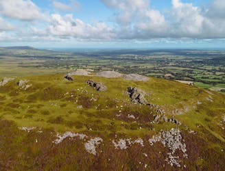
Preseli Hills and Carningli
Moderate Hiking