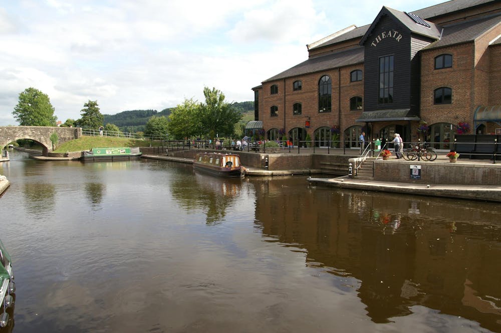
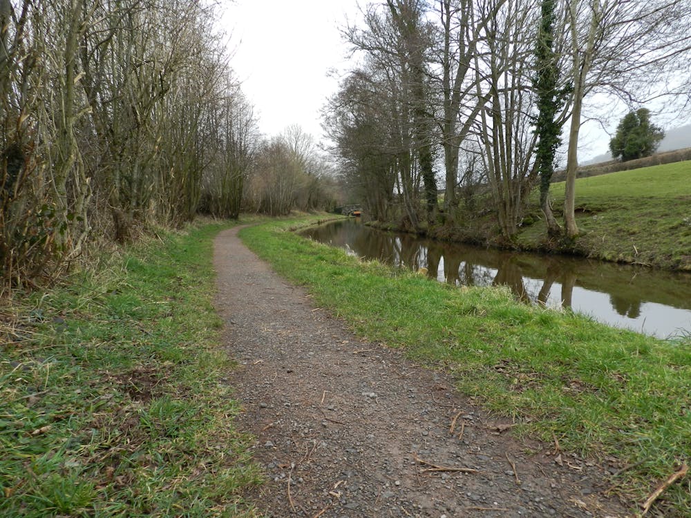
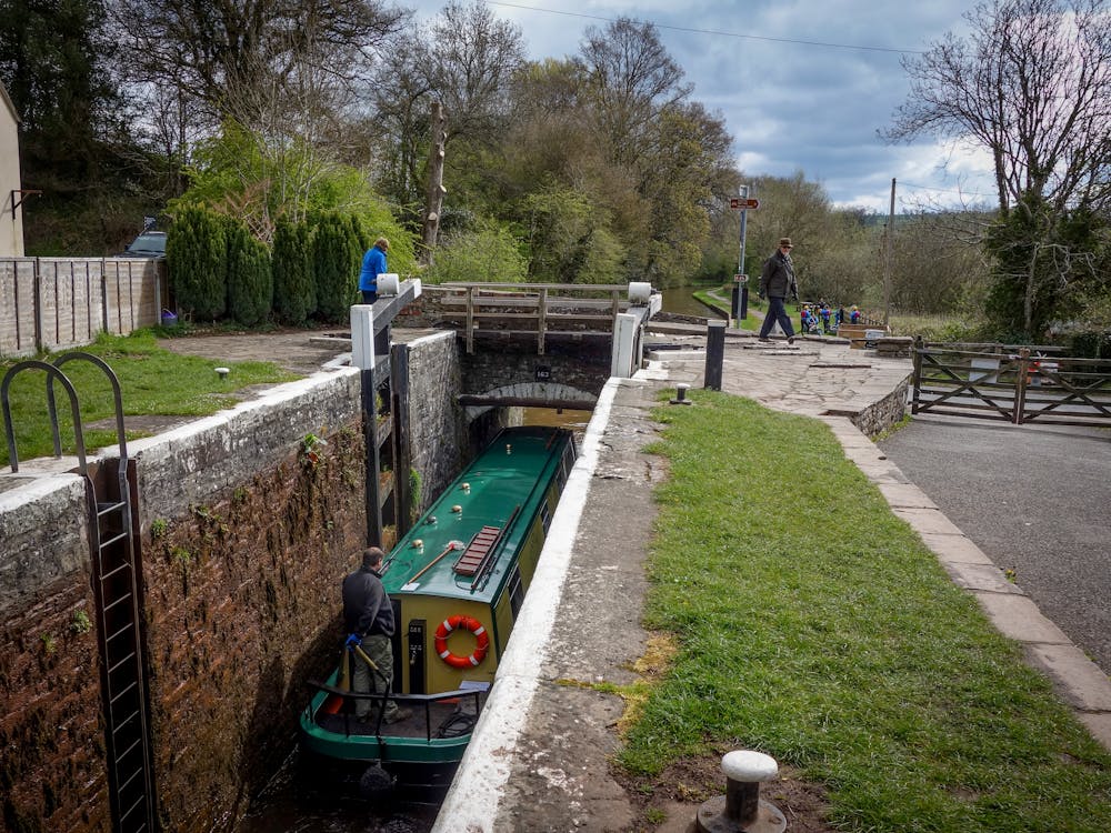
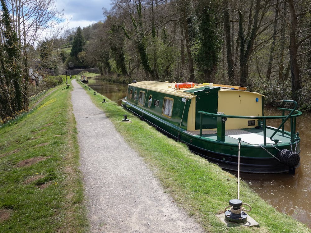
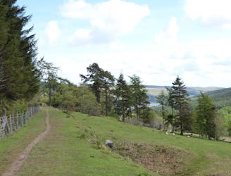
Pick up the canal towpath and follow this with the canal on your left, stopping to take a picture by the horse and tram statue depicting how goods used to be transported. Continue on until you reach some old lime kilns where you check out some historical facts, then carry on along the canal, going underneath the A40 road via a narrow and dark tunnel. Eventually you will reach the canal lock at Brynich where there is a picnic area.
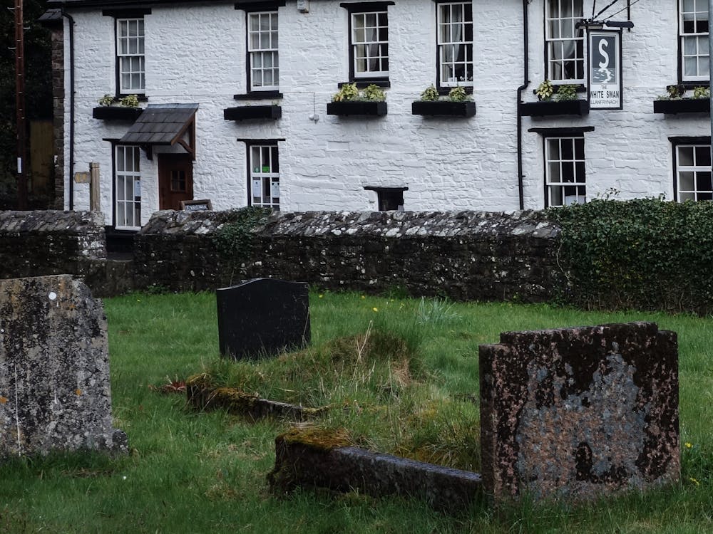
After a rest and if you want to continue your journey, leave the canal by going through a gate, turn right onto the country road and follow the signs to Llanfrynach village, where there is a pub if you need food & refreshments. To return, just retrace your journey.