Talybont and Pontsticill Reservoir Route

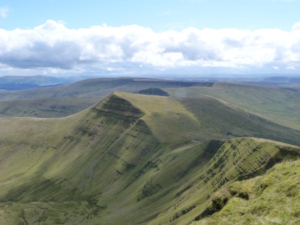
A great wilderness figure of 8 cross country route which is 90% traffic free, incorporating some tough climbs & open mountainside.
Difficult Mountain Biking
- Distance
- 22 km
- Ascent
- 768 m
- Descent
- 385 m
A challenging route with some tough climbs taking in the Brecon canal, Taff Trail & an old tramroad
Mountain Biking Moderate

Public pay vehicle parking is available at Henderson Hall in Talybont on Usk (opposite the black & white canal swing bridge).
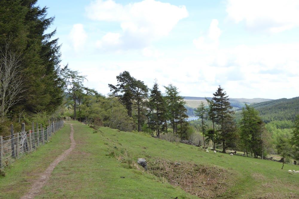
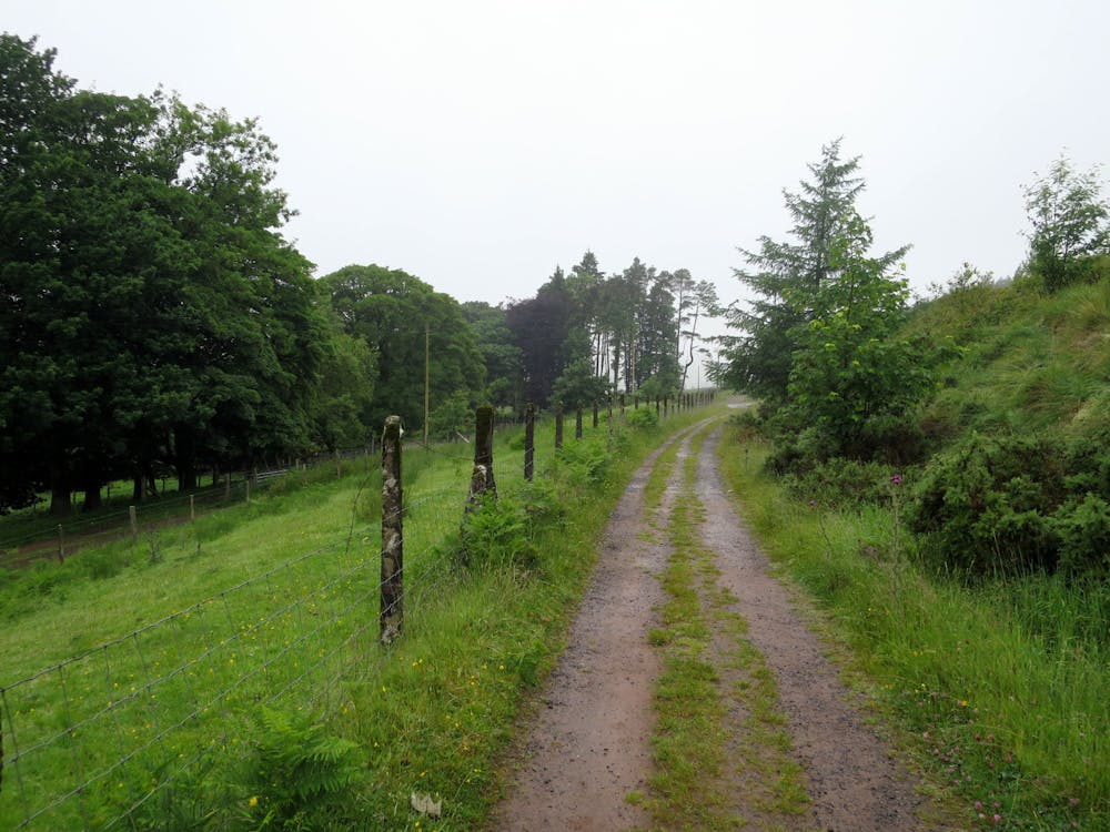
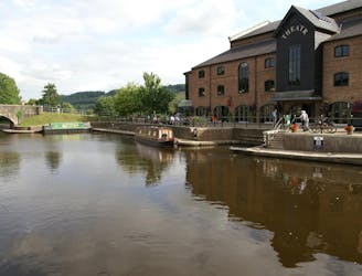
After exiting the car park go up to the swing bridge, then turn left onto the canal. You will shortly reach the White Hart pub where you exit the canal. Turn right and up and over a hump back bridge over the canal following a dirt track. You will then reach the start of the Brinmore Tramroad where there are various displays describing its history and usage which are well worth stopping to read. The track at the start is flat but can be bumpy, and is walled by hedges either side, after passing through a few gates (make sure you close them) enter the forest where you will start to gradually climb and the surface can be looser in places. See if you can spot evidence of where the tram tracks used to be. After exiting the forest you will come to a junction which is signposted Tramroad straight on to your left or Taff trail to your right.
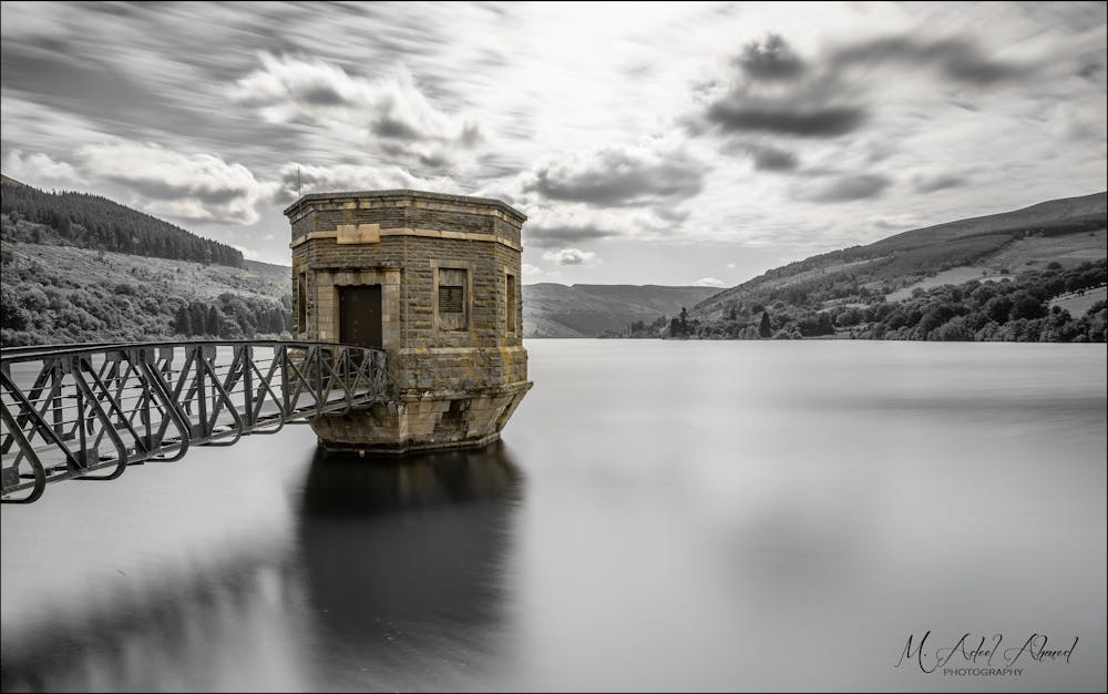
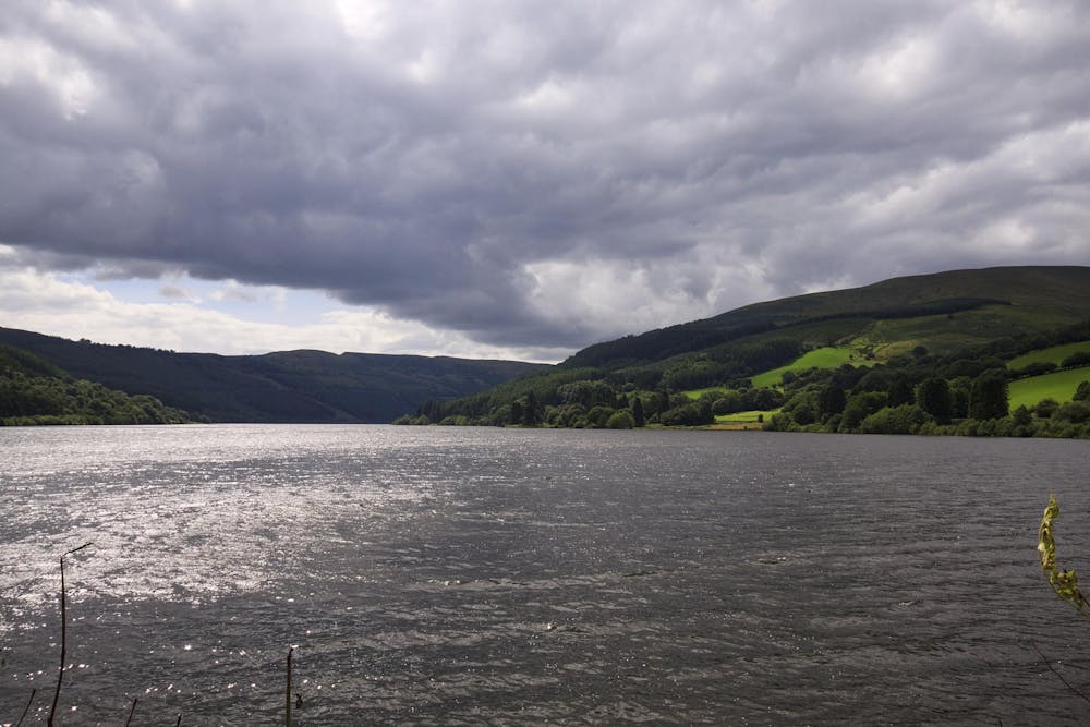
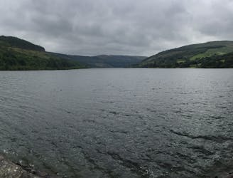
At this point there are numerous routes and distances that can be chosen (see other Talybont on Usk tramroad routes). Take the Tramroad sign to your left and continue climbing on a sometimes rough & loose track through the forest, until you exit the forest and reach a forest road. Turn right downhill and right again when you reach the Taff trail. Upon reaching the Talybont dam wall go over this and at the road junction turn right downhill towards Aber village. When you arrive at Aber village, look out for a red telephone box on your left, and turn left there. Follow this road, twisting uphill on what can be a challenging climb through some gates, the road will eventually peter out into a track, cross a ford and enter the forest. Follow the track which is twisting and rooty in places, before you start descending on a mixture of forest tracks, and rocky tracks before rejoining the road above Talybont where you turn right, right again at Gethinog and then left where you will return to the start.
Moderate
Mostly stable trail tread with some variability, with unavoidable obstacles 8in/20cm tall or less. Other obstacles such as rock gullies and steep sections may exist. Ideal for lower intermediate riders.
A great wilderness figure of 8 cross country route which is 90% traffic free, incorporating some tough climbs & open mountainside.
Difficult Mountain Biking
A traffic free route taking in the Brecon canal, Taff Trail & an old Tramroad and stunning scenery
Easy Mountain Biking

This is one of the all time classic Brecon Beacons mountain bike routes which has it all.
Difficult Mountain Biking
8.4 km away
A very scenic family route, or useful as a link between Brecon and the trails around Talybont on Usk.
Easy Mountain Biking
7 routes · Mountain Biking · Hiking