1.9 km away
Richmond Parkrun
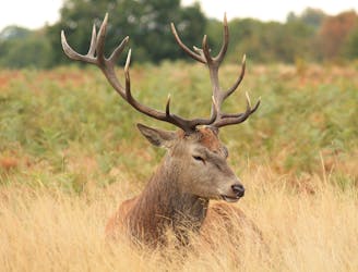
Immerse yourself in the majesty of the best of London’s eight Royal Parks, on a selection of the finest trails.
Easy Trail Running
- Distance
- 9.5 km
- Ascent
- 93 m
- Descent
- 93 m
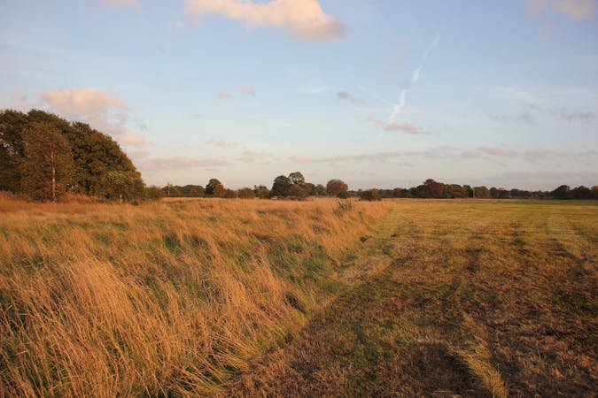
A leafy parkrun on soft grassy terrain.
Trail Running Easy

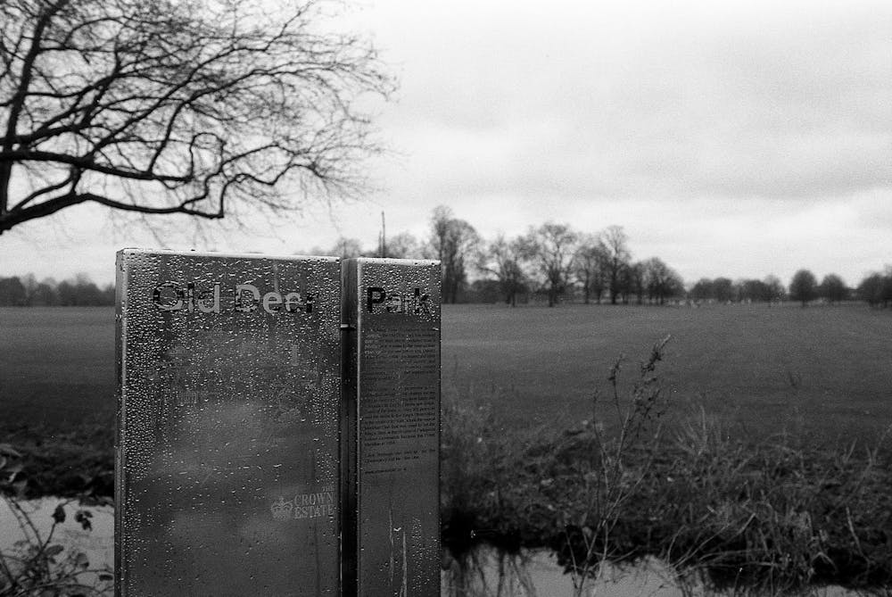
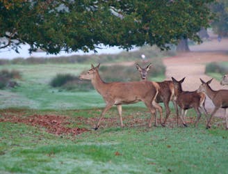
A cluster of parkruns cohabitate in the leafy suburbs of southwest London. With Richmond parkrun only a tad over one mile away, Old Deer Park offers an alternative route and what it lacks in excitement compared to its more famous neighbour, the pure flat and grass track makes up for in great vibes and a welcoming community feel.
The simple three-looped course is an easy run that escapes the pavement for softer terrain.
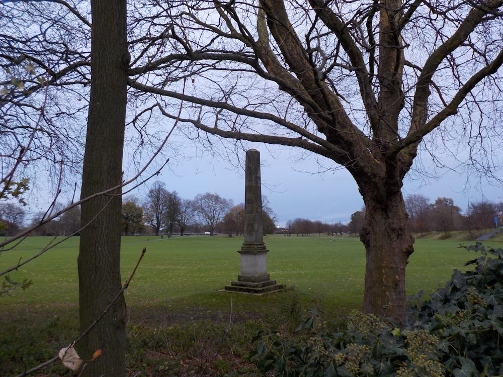
From the course, you can see three large stone obelisks, which were meridian marks for the observatory built for King George III.
Bring your dog, mingle with the locals and enjoy a coffee after the run across the road at Austins on the Park. Alternatively, you could continue over to Richmond Park and get some extra miles in for the week.
Getting there is easy. Take the train or tube to Richmond-Upon-Thames, then it’s just a short walk to the start. There is also plenty of parking across the road, accessed from the left once you pass the Richmond roundabout.
For more information or to register and download a barcode for parkrun, go to https://www.parkrun.org.uk/olddeerpark/.
Source: https://www.richmond.gov.uk/services/parksandopenspaces/findapark/olddeerpark
Easy

The path is on completely flat land and potential injury is limited to falling over.
Close to help in case of emergency.
1.9 km away
Immerse yourself in the majesty of the best of London’s eight Royal Parks, on a selection of the finest trails.
Easy Trail Running
2.7 km away
A 7.35-mile trail around the perimeter of London’s largest royal park.
Moderate Trail Running
7.8 km away
Be inspired as you run along trail carved out by the 1908 Olympic marathon.
Easy Trail Running
10 routes · Trail Running
4 routes · Trail Running