6.5 km away
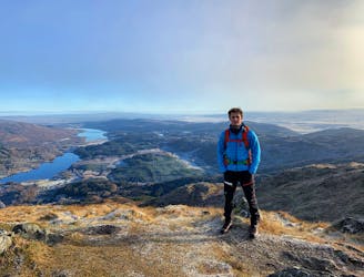
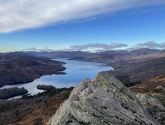
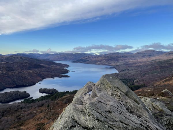
Ben Venue (729m) from Loch Achray
Small in size but big in character!
Moderate Hiking
- Distance
- 13 km
- Ascent
- 735 m
- Descent
- 734 m
Standard Life Mountaineering Club
Hiking Difficult

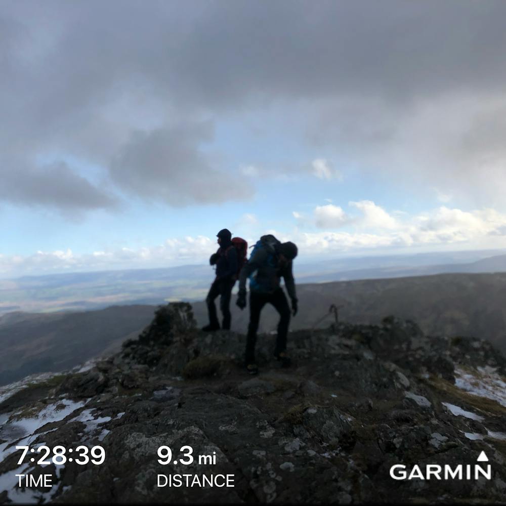
This is a popular hiking route which is generally considered to be difficult. It's not remote, it features medium exposure and is typically done in undefined. From a low point of 37 m to the maximum altitude of 725 m, the route covers 15 km, 942 vertical metres of ascent and 942 vertical metres of descent.
Stunning views of Ben Lomond, the Arrochar Alps and the Southern Highlands
Difficult
Hiking trails where obstacles such as rocks or roots are prevalent. Some obstacles can require care to step over or around. At times, the trail can be worn and eroded. The grade of the trail is generally quite steep, and can often lead to strenuous hiking.

The trail contains some obstacles such as outcroppings and rock which could cause injury.

Close to help in case of emergency.
6.5 km away
Small in size but big in character!
Moderate Hiking
7 km away
The miniature mountain offering big views!
Moderate Hiking
12 routes · Hiking