6.1 km away
Ben Venue (729m) from Loch Achray
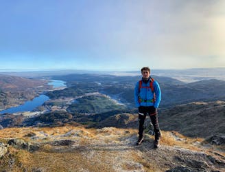
Small in size but big in character!
Moderate Hiking
- Distance
- 13 km
- Ascent
- 735 m
- Descent
- 734 m
Reach Callander, nicknamed Gateway to the Highlands, by following grassy tracks and minor roads through forestry and fields, between hills of the Trossachs and past the picturesque Loch Venachar.
Hiking Moderate

This is a popular hiking route which is generally considered to be moderate. It's an unknown remoteness, it features unknown exposure and is typically done in an unknown time of year. From a low point of 19 m to the maximum altitude of 221 m, the route covers 15 km, 429 vertical metres of ascent and 376 vertical metres of descent.
Moderate
Hiking along trails with some uneven terrain and small hills. Small rocks and roots may be present.
6.1 km away
Small in size but big in character!
Moderate Hiking
6.2 km away
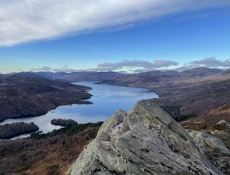
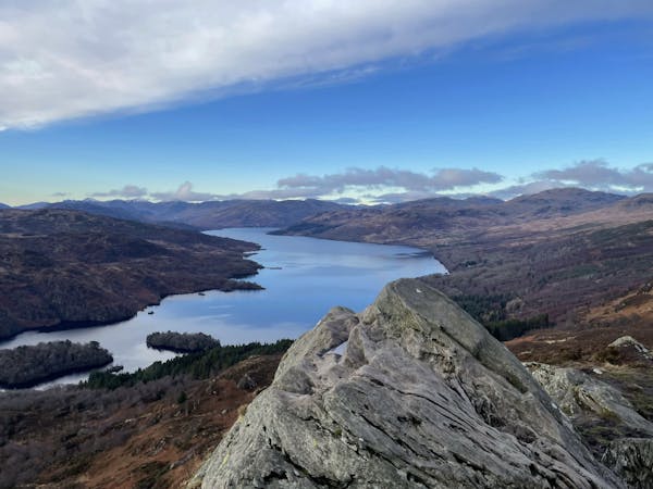
The miniature mountain offering big views!
Moderate Hiking
12 routes · Hiking