5 km away
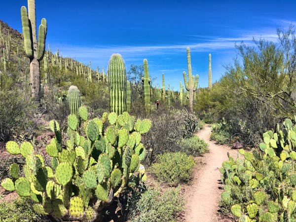
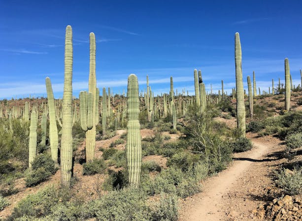
Starr Pass Tour
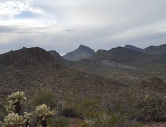
A cactus-filled hike through eastern Tuscon Mountain Park.
Difficult Hiking
- Distance
- 13 km
- Ascent
- 231 m
- Descent
- 230 m
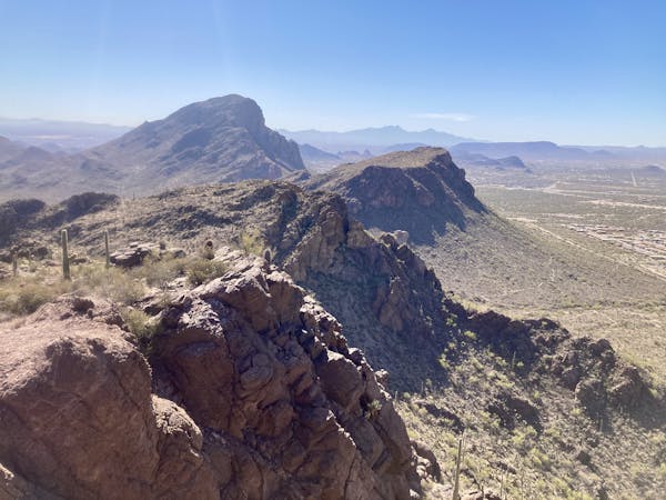
An easy loop hike leading to impressive views.
Hiking Moderate
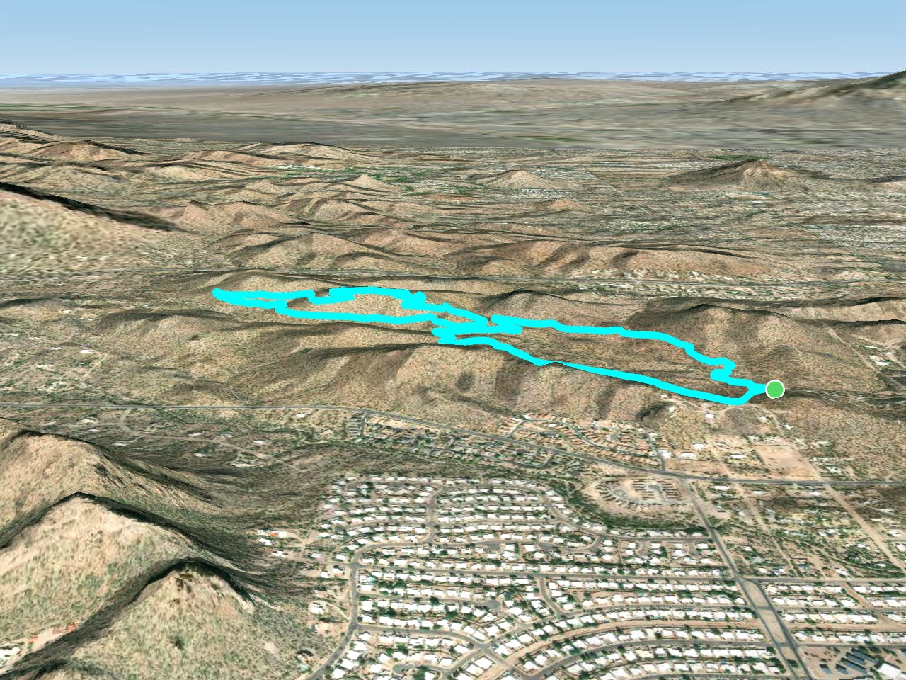
This mellow 4-mile hike begins directly from the outskirts of Tucson on West Irvington Place. You won't be climbing any dramatically steep hills or conquering rough, rocky trails, but even still, you'll gain incredible views over the city, the Tucson Mountains as they trot off to the north, and the Catalinas off in the distance.
The hike begins on the smooth, mostly-flat Camaro Loop before reaching a 4-way junction with Sunset Pass and 360-Vista. At this point, you can choose to either loop to the northwest on Sunset Pass and return on 360-Vista, or begin with the climb up 360-Vista.
Either way, once on top of the low ridge, you'll enjoy well-built trails and fantastic views of the region. Be sure to meander along the ridge and enjoy the scenery to its fullest, because it's over all too soon. The views off of Sunset Pass aren't bad either, but it's located lower down the side of the ridge and only offers a southerly vantage.
Upon returning to the 4-way junction, you can take the remainder of the Camaro Loop for a slight change of scenery on your way back to the West Irvington Place Trailhead, keeping you from having to backtrack on the same trail you hiked earlier.
Moderate
Hiking along trails with some uneven terrain and small hills. Small rocks and roots may be present.

The path is on completely flat land and potential injury is limited to falling over.
Close to help in case of emergency.
5 km away
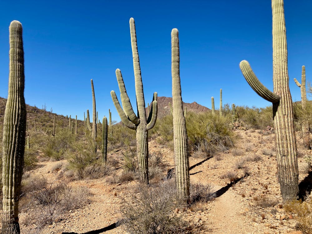
A cactus-filled hike through eastern Tuscon Mountain Park.
Difficult Hiking
5.6 km away
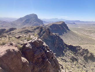
Short, steep hike to gain incredible views!
Severe Hiking
10 routes · Hiking
7 routes · Hiking · Trail Running
7 routes · Hiking

32 routes · Mountain Biking · Hiking · Road Biking