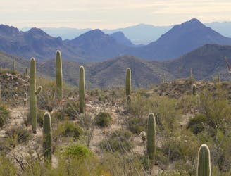
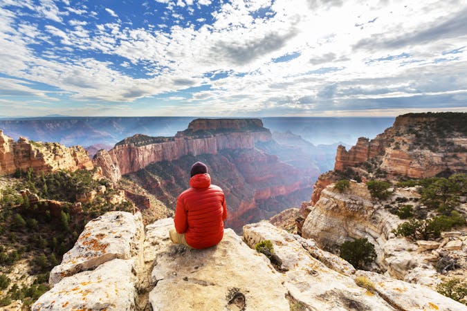
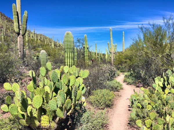
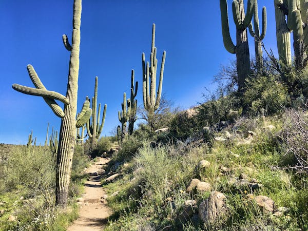
Starr Pass Tour
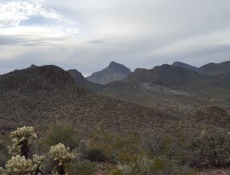
A cactus-filled hike through eastern Tuscon Mountain Park.
Difficult Hiking
- Distance
- 13 km
- Ascent
- 231 m
- Descent
- 230 m
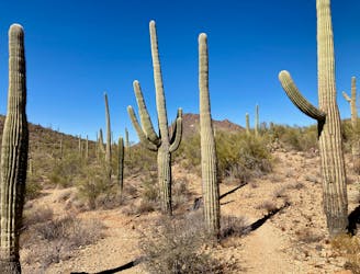
Explore dozens of miles of rough-and-tumble singletrack in the Tucson Mountains.
Hiking Moderate, Difficult, Severe
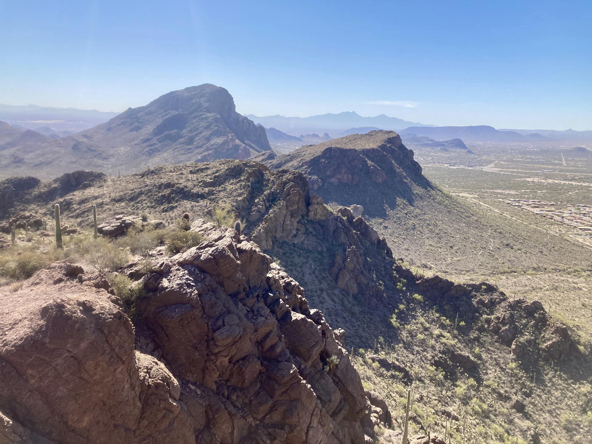
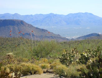
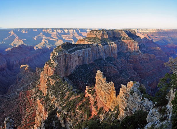
The arid Tucson Mountains form a ragged skyline just to the west of the eponymous million-person metropolis. This rocky mountain range doesn't rise nearly as high as the Catalinas to the northeast of the city, but the trails riddling the mountain range are rugged and challenging.
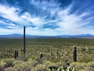
As the city continues to sprawl in all directions, most of the Tucson mountains have thankfully been protected by a combination of parks and preserves. The northernmost section of the range has been protected by the western unit of Saguaro National Park. As Saguaro National Park runs to the south, it seamlessly transitions into Tucson Mountain Park, which also protects a vibrant Sonoran desert landscape.
The trail system spidering through the Tucson Mountains is one of the most extensive in the region. The singletrack trails run for miles, seemingly wrapping around every single peak and dropping into every single valley.
On average, the trails in the Tucson Mountains are quite rugged and challenging, with short, punchy climbs and steep descents. Between the rocks the soil is loose and shifting, creating slippery footing that forces hikers to remain vigilant. None of the miles come easily here, yet the beauty of this mountain range and the ability to hike for miles and miles around and over these rugged peaks while still seeing the entirety of Tucson spread out below you is a unique and wonderful experience. If you want to get the most out of this mountain range, dive into the seven highlighted itineraries included in this guidebook.
First up, Wassen Peak soars above the rest of the Tucson Mountains, gaining a height of 4,687 feet above sea level. This guidebook includes two routes to reach the summit: a direct ascent from the Tucson side, and a more moderate (and more popular) loop route from the west side. Another nearby trail in Saguaro National Park that's well-worth exploring is Sendero Esperanza, and you could even continue beyond the marked turn around to reach Wassen Peak via yet another route.
Standing off by itself on the west side of the main mountain range is Brown Mountain. More than just a single peak, Brown Mountain consists of several small summits along a low ridge measuring 1.5 miles long. The route mapped here is a quick but beautiful 4.6-mile lollipop that traverses the entirety of the ridge on visually-stunning, exposed singletrack.
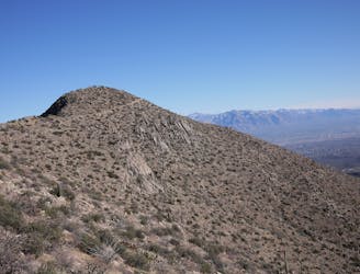
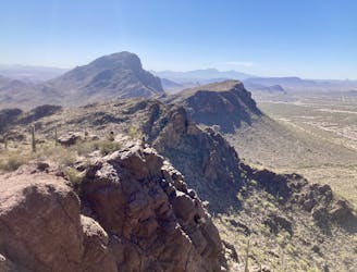
The John Crane Loop provides a short but steep climb to the spine of the mountain range, affording stunning views as the Tucson Mountains trot both north and south from this vantage point.
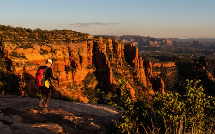
Finally, for two hikes beginning directly from the suburbs of Tucson, try both Starr Pass and Camaro -> 360-Vista on for size. The Starr Pass tour is a Tucson classic, but it covers a solid eight and a half miles of trail. For a shorter hit, Camaro -> 360-Vista only covers four miles of ground and climbs half the elevation.
A cactus-filled hike through eastern Tuscon Mountain Park.
Difficult Hiking
Climb to the highest peak in the Tucson Mountain.
Difficult Hiking
Hike along a gorgeous ridge with stupendous views of the Tucson Mountains and Saguaro National Park.
Difficult Hiking
A full-value loop to the highest point in the Tucson Mountains District of Saguaro National Park.
Difficult Hiking
A mellow walk through open desert, then a steep but short climb to a panoramic ridgeline.
Moderate Hiking
Short, steep hike to gain incredible views!
Severe Hiking
An easy loop hike leading to impressive views.
Moderate Hiking

23 routes · Mountain Biking · Hiking
14 routes · Hiking
14 routes · Hiking
8 routes · Hiking
16 routes · Hiking
9 routes · Hiking

14 routes · Hiking

25 routes · Alpine Climbing · Hiking
10 routes · Hiking
4 routes · Hiking