19 m away
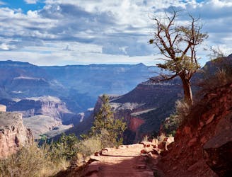
South Rim Trail
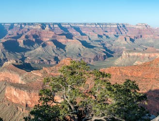
Family and dog-friendly trail linking major overlooks on the South Rim.
Easy Hiking
- Distance
- 21 km
- Ascent
- 315 m
- Descent
- 477 m
A truly epic hike across the Grand Canyon.
Hiking Severe

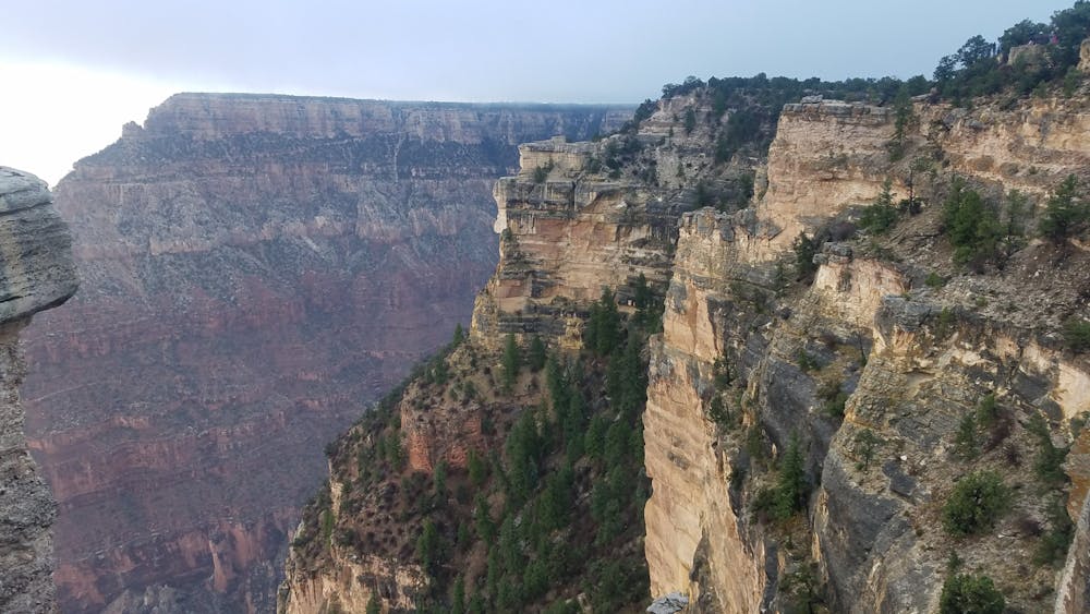
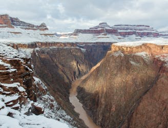
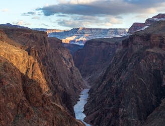
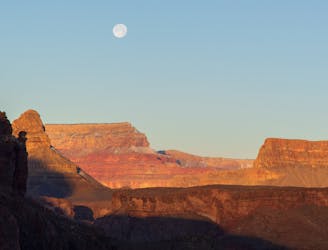
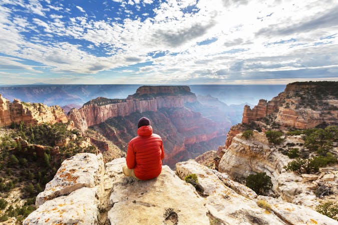
The Rim-to-Rim crossing of the Grand Canyon is an epic bucket list hike that many adventurers seek to check off. Whether you attempt the entire hike in one day or break it up into two days and camp at the bottom is up to you. You could also turn it into a Rim-to-Rim-to-Rim hike by choosing to hike both directions.
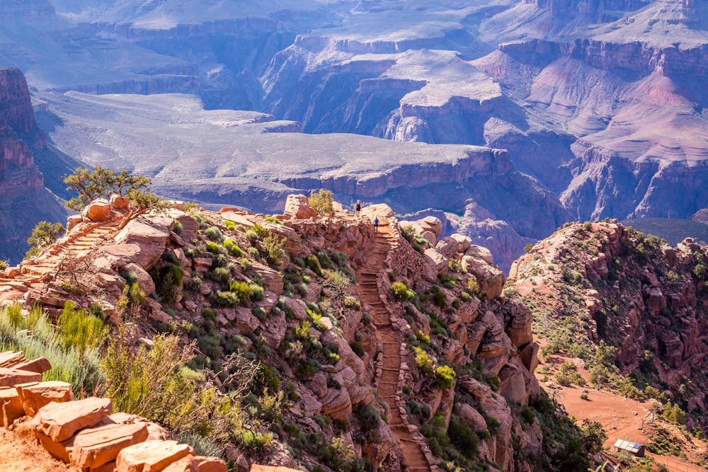
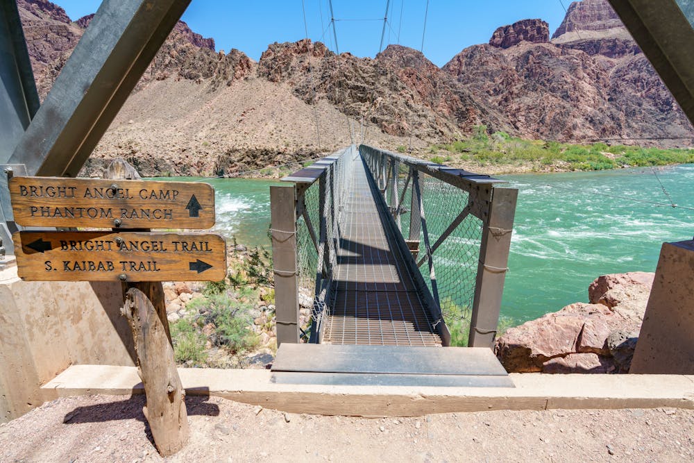
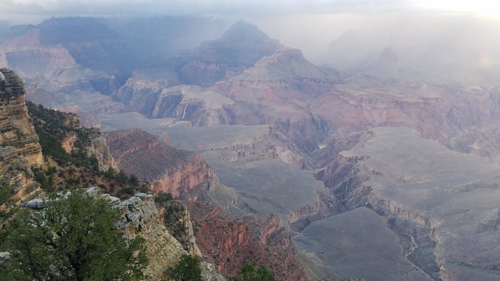
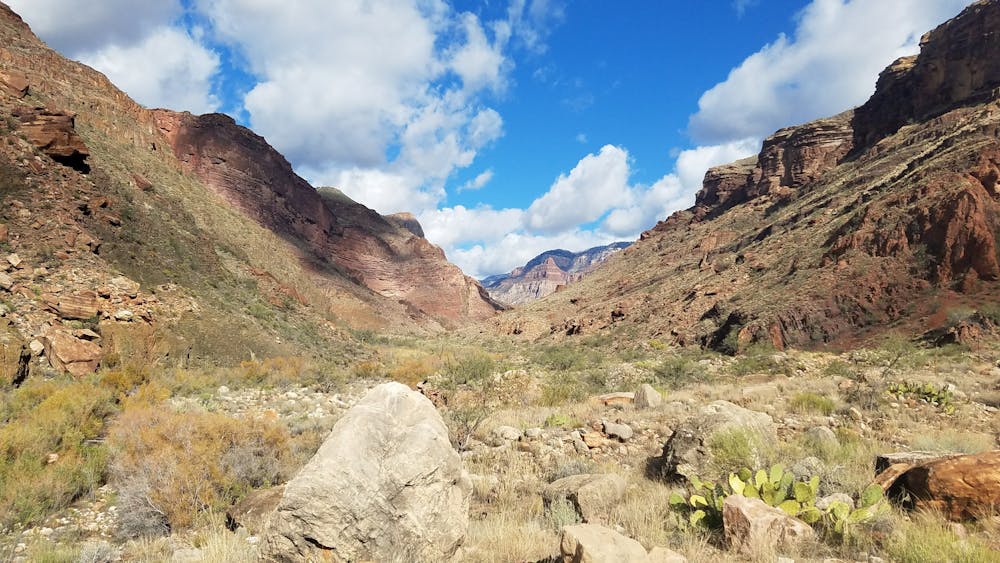
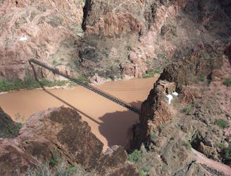
Beginning at the South Rim, you have two options to descend into the canyon. The Bright Angel Trail (depicted here) offers a steady descent into the canyon and multiple sources of water along the way. 4.5 miles from the trailhead, Indian Garden provides year-round water with the next dependable source at Phantom Ranch across the Colorado River foot bridge.
Alternatively, some choose the South Kaibab Trail down to Phantom Ranch. Less visited and slightly shorter, the trail is much steeper and the same route utilized by a mule train that leaves around 5am every morning (make sure to start your run before they do, they aren't keen to allowing other trail users by in the dark). Some hikers choose to go down South Kaibab and up Bright Angel. If you choose that option, check on the bus schedule to make sure you will have a ride back to your campsite or vehicle.
Organized groups are required to obtain a permit through the National Park. There is also an entry fee to get into the park, and most hikers choose to camp there during their trip. The park's popularity makes it difficult to secure campsites during certain times of the year, so plan accordingly and reserve a spot far before your trip.
The traverse is best attempted in the fall and spring, when the weather is at its best. Seasonal water sources along the trail are turned off mid-November, so check with the park regarding the latest status. The pipeline that provides water along the trail is also outdated and experiences frequent shutdowns for maintenance. Always carry a water filter or other purification system just in case.
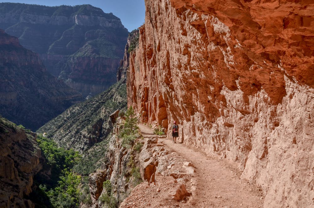
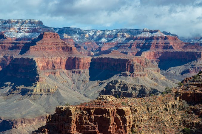
Though the entire hike is loaded with views, the push up to the north rim is often the most memorable for trail runners. Narrow bench cuts along rock bluffs and several bridges line the way up. Even in November, it's possible for the bottom of the canyon to reach 70 degrees during the day, with deep snow blanketing the north rim.
Note: If you plan to catch a shuttle back from the North Rim to the South Rim, be sure to check that the shuttle is running and that the North Rim is open and accessible. Just because you can reach the South Rim doesn't mean the North Rim is open!
Sources: https://ultrarunning.com/features/destinations/grand-canyon-basics-rim-to-rim-to-rim/
Severe
Hiking challenging trails where simple scrambling, with the occasional use of the hands, is a distinct possibility. The trails are often filled with all manner of obstacles both small and large, and the hills are very steep. Obstacles and challenges are often unexpected and can be unpredictable.

Some trail sections have exposed ledges or steep ascents/descents where falling could cause serious injury.

In the high mountains or remote conditions, all individuals must be completely autonomous in every situation.
19 m away
Family and dog-friendly trail linking major overlooks on the South Rim.
Easy Hiking
63 m away
A jaw-dropping journey into the Grand Canyon, and the most direct route from rim to river.
Difficult Hiking
4.8 km away

Day three traverses the famed Colorado River and heads up the North Kaibab Trail
Moderate Hiking
4.8 km away
Must-do side trip to one of the finest spots in the Grand Canyon.
Easy Hiking
5.5 km away
Iconic trail from rim to river in the Grand Canyon.
Difficult Hiking
5.8 km away
A less visited trails that provides fantastic views of the Colorado River and the canyon.
Moderate Hiking
5.8 km away
The final day of the loop ascends the beautiful South Kaibab Trail to the South Rim.
Difficult Hiking

23 routes · Mountain Biking · Hiking
14 routes · Hiking
8 routes · Hiking

25 routes · Alpine Climbing · Hiking

10 routes · Hiking

63 routes · Alpine Climbing · Hiking