1.7 km away
Starr Pass Loop
A well-rounded mountain bike ride through the gorgeous Tucson Mountains.
Difficult Mountain Biking
- Distance
- 14 km
- Ascent
- 235 m
- Descent
- 235 m
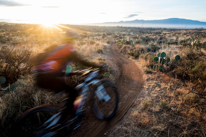
Up-and-down cross country riding through the Tucson Mountains, right on the edge of the city.
Mountain Biking Difficult

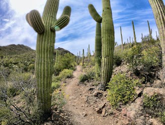
The 36th Street -> Bittersweet Loop follows a similar route idea to the Explorer -> 360-View Loop, but it hits a number of different trails that are, on the average, less technical. Consequently, this ride combination only gets a "Difficult" rating in comparison to Explorer's "Severe."
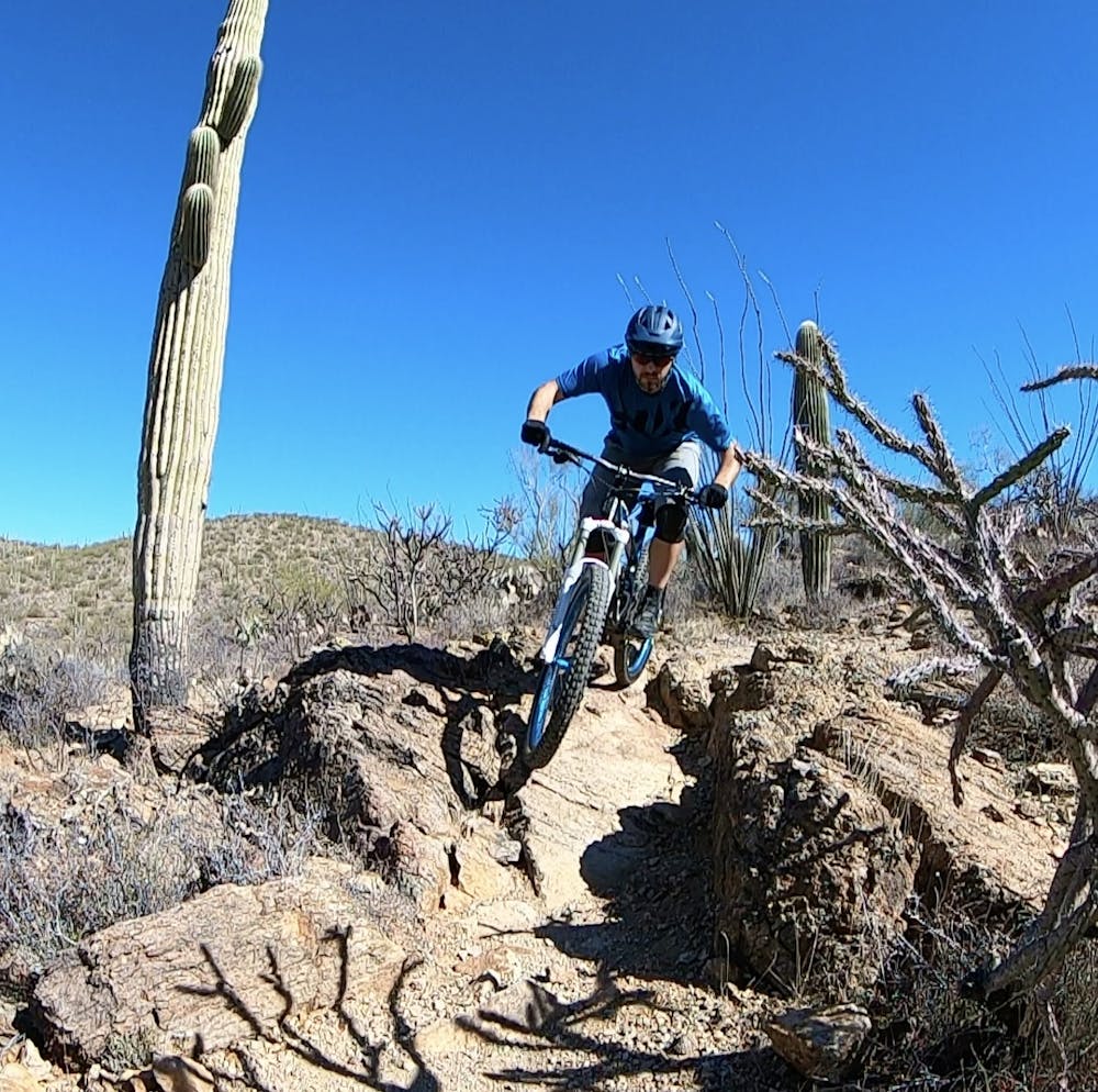
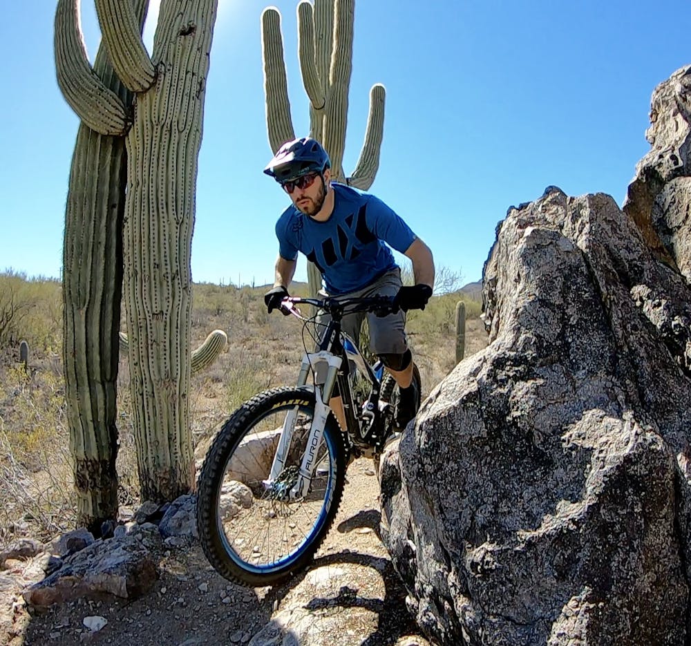
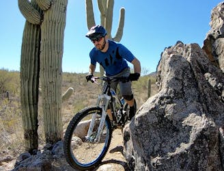
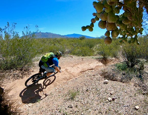
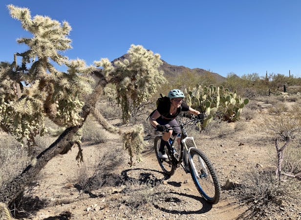
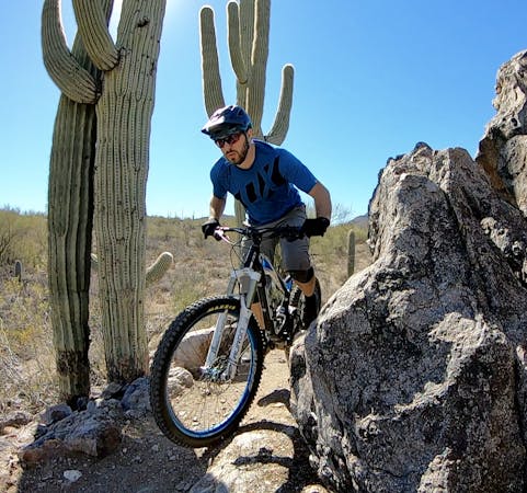
The collection of trails located directly adjacent to the 36th Street trailhead is generally smooth and flowy, with some fun, swoopy sections through the desert. But as you ride away from 36th Street, the singletrack on this ride regains the classic chunky and difficult ride quality with short, punchy climbs and steep, twisty descents. Don't worry—you'll still have plenty of rocks to negotiate. Even still, these rocks are generally more rideable, forcing far fewer awkward dismounts and hike-a-bike sections.
Also adding to the challenge of this ride are the deep sandy sections, especially in the washes. While these can all be walked if needed, they do tend to confound some riders.
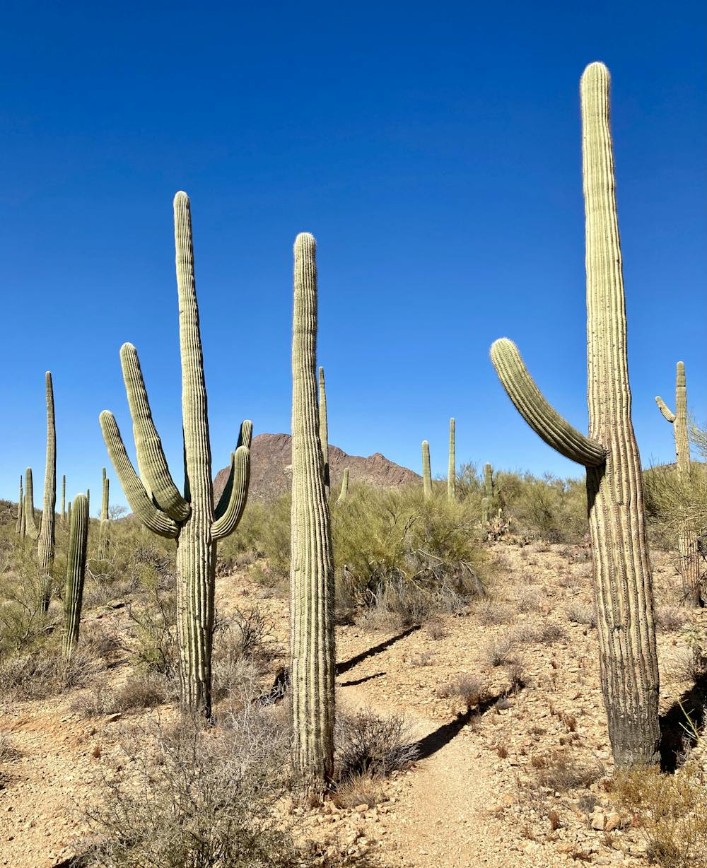
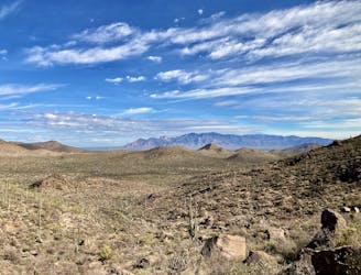
The Bittersweet Trail to the south offers delightful up-and-down cross-country riding that makes it one of the highlights of this loop. While Bittersweet will still demand that you work for it, you'll find yourself covering plenty of miles as you roll through the Sonoran Desert, right on the edge of the city of Tucson.
On the southern end of this loop, you can choose to tack on a few extra miles on the Camaro Loop trail if you haven't had enough yet. And if you really want to crank out the miles, try the Tucson Mountains Epic ride on for size!
Difficult
Mostly stable trail tread with some variability featuring larger and more unavoidable obstacles that may include, but not be limited to: bigger stones, roots, steps, and narrow curves. Compared to lower intermediate, technical difficulty is more advanced and grades of slopes are steeper. Ideal for upper intermediate riders.

The trail contains some obstacles such as outcroppings and rock which could cause injury.

Close to help in case of emergency.
1.7 km away
A well-rounded mountain bike ride through the gorgeous Tucson Mountains.
Difficult Mountain Biking
1.7 km away
For an epic route that tries to maximize the mileage found in the Tucson Mountain Range, try this 37-mile ride on for size.
Severe Mountain Biking
3.3 km away
A rugged, technical alternative to the classic Starr Pass.
Severe Mountain Biking
3.9 km away
A fun little trail system that's perfect for a quick after-work ride.
Severe Mountain Biking
9.2 km away
Mellow singletrack with beautiful cacti and views of the Tucson Mountains.
Easy Mountain Biking
5 routes · Mountain Biking
10 routes · Mountain Biking
5 routes · Mountain Biking
5 routes · Mountain Biking

32 routes · Mountain Biking · Hiking · Road Biking