3 km away
Ironwood Loop
Mellow singletrack with beautiful cacti and views of the Tucson Mountains.
Easy Mountain Biking
- Distance
- 11 km
- Ascent
- 64 m
- Descent
- 64 m
Enjoy stupendous views of the Tucson Mountains and Saguaro National Park.
Mountain Biking Severe
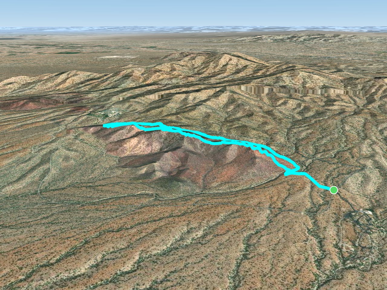
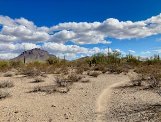
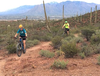
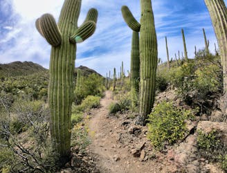
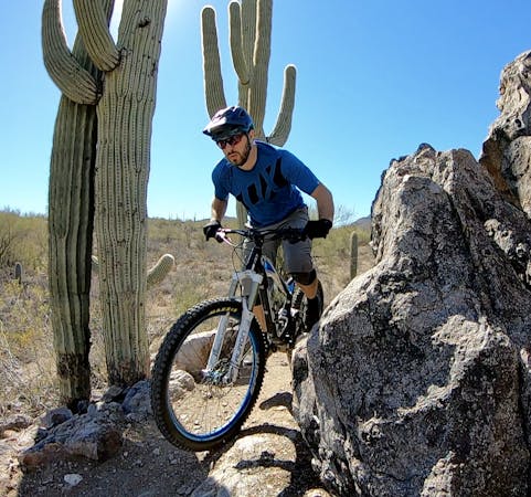
More than just a single peak, Brown Mountain consists of several small summits along a low ridge measuring 1.5 miles long. The route mapped here is a quick but beautiful 4.6-mile lollipop that traverses the entirety of the ridge on visually-stunning, exposed singletrack.

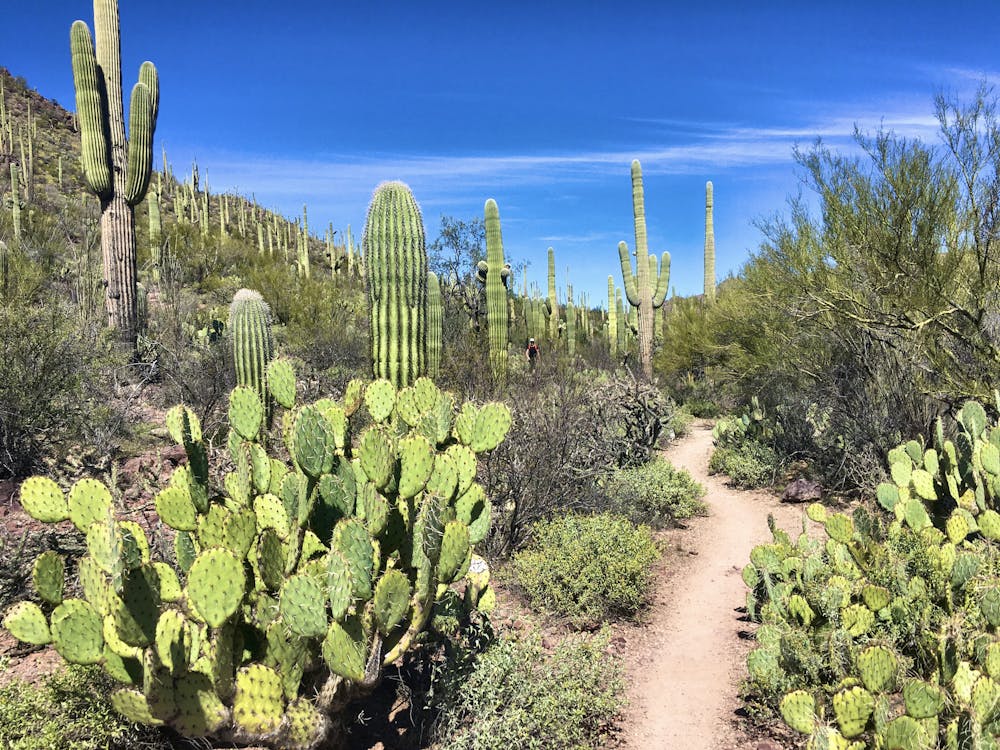
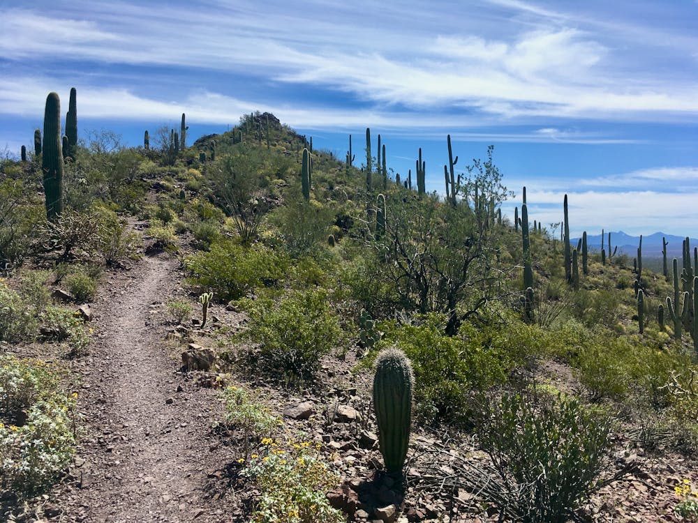
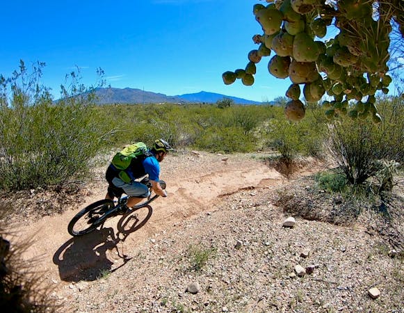
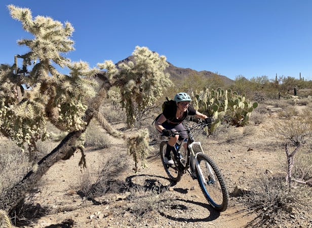
The recommended route wraps around the base of the mountain to reach the northwestern end of the ridge. You'll then climb onto the ridge and traverse up and down the several small summits on your way back to the trailhead. The singletrack along the base is narrow and twisty, ducking beneath towering saguaro cacti and through the beautiful undergrowth that has made the Sonoran Desert so famous.
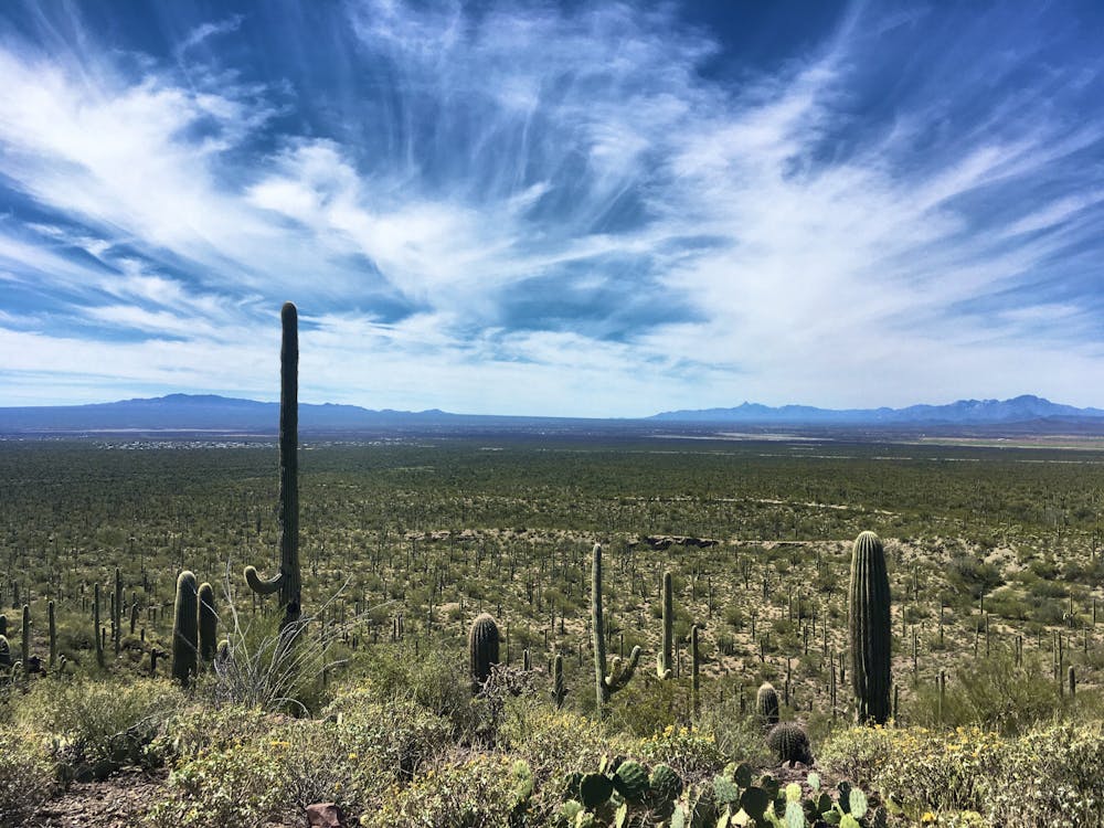
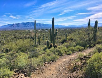
As you climb toward the top of Brown Mountain, you'll enjoy expansive views of the Tucson Mountains all around you. Despite being located right on the edge of the second-largest city in Arizona, this small mountain range is protected by Tucson Mountain Park and Saguaro National Park. While Brown Mountain isn't technically inside the national park, the western section of Saguaro National Park begins just to the north and is visible from the entire route.
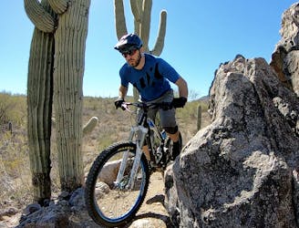
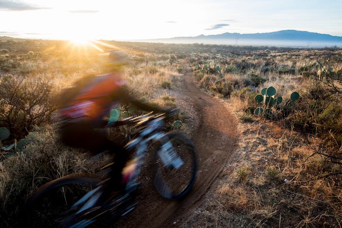
The final descent off the mountain is steep and technical, dropping through a series of tight, rocky switchbacks that will challenge most mountain bikers. If you haven't figured it out by now, you'll soon realize that Brown Mountain is most ideal as a hiking or trail running route… but the views and the location of this short ride still make it a desirable objective for mountain bike riders.
Once off the mountain, it's a short pedal back to the trailhead. The route mapped here only measures a mere 4.6 miles long, but it can be extended with other connecting trails. One option for additional mileage is to park at the San Juaquin trailhead, but this just increases the length of the mild approach trail. It is even possible to connect to the Starr Pass Loop if you’re looking for an epic all-day ride.
Severe
Widely variable, narrow trail tread with steeper grades and unavoidable obstacles of 15in/38cm tall or less. Obstacles may include unavoidable bridges 24in/61cm wide or less, large rocks, gravel, difficult root sections, and more. Ideal for advanced-level riders.

Some trail sections have exposed ledges or steep ascents/descents where falling could cause serious injury.

Away from help but easily accessed.
3 km away
Mellow singletrack with beautiful cacti and views of the Tucson Mountains.
Easy Mountain Biking
8.5 km away
A classic, scenic desert mountain bike trail with challenging rock sections.
Moderate Mountain Biking
8.5 km away
A bite-sized beginner loop through towering saguaro cacti.
Easy Mountain Biking
9.4 km away
For an epic route that tries to maximize the mileage found in the Tucson Mountain Range, try this 37-mile ride on for size.
Severe Mountain Biking
9.5 km away
A well-rounded mountain bike ride through the gorgeous Tucson Mountains.
Difficult Mountain Biking

37 routes · Mountain Biking
5 routes · Mountain Biking
10 routes · Mountain Biking

24 routes · Mountain Biking
5 routes · Mountain Biking
5 routes · Mountain Biking

32 routes · Mountain Biking · Hiking · Road Biking