FINS XC Ride
Mellow pedal on mountain bike-optimized singletrack.
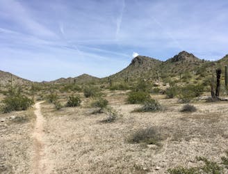
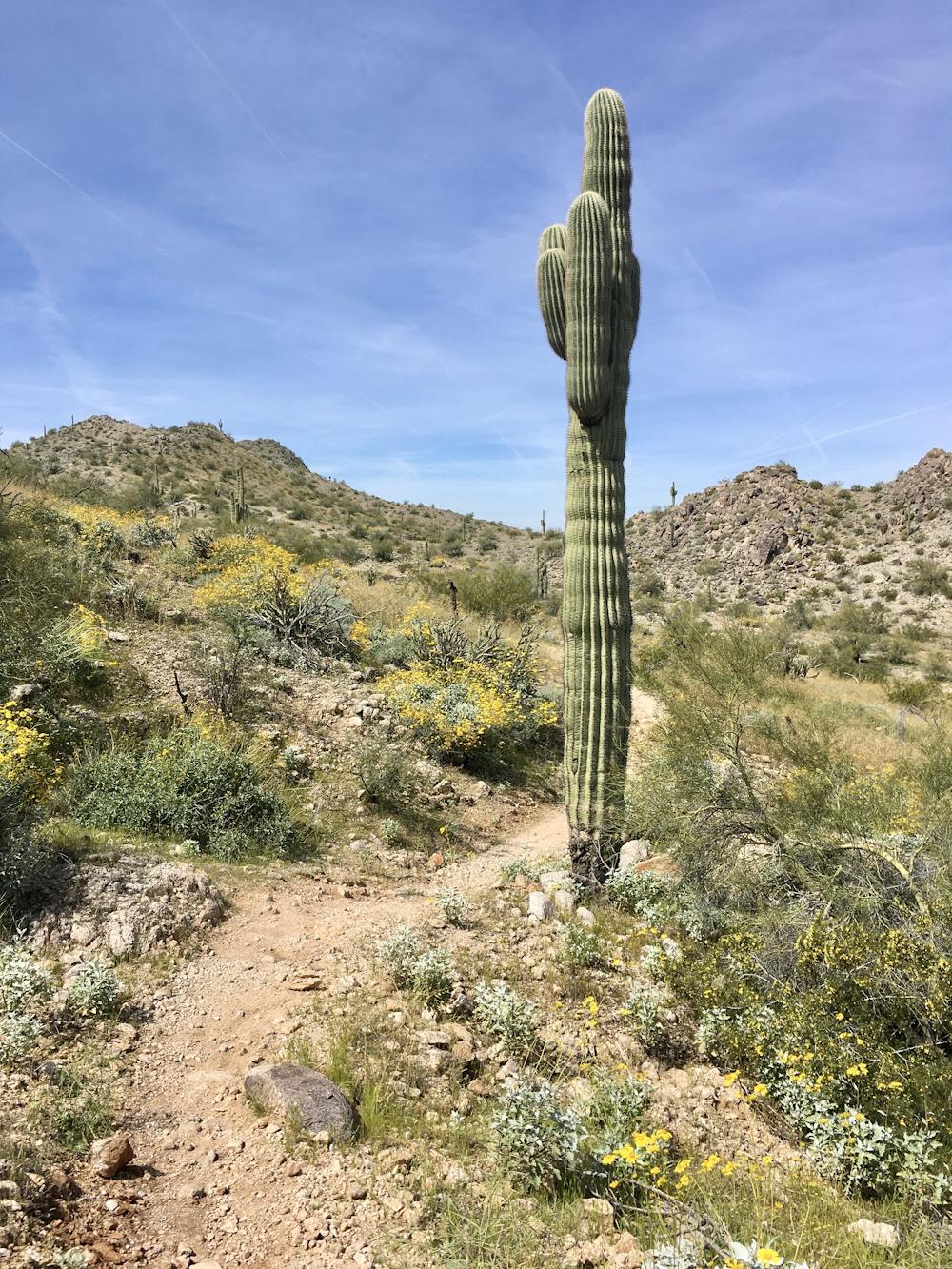
Easy Mountain Biking
- Distance
- 10 km
- Ascent
- 106 m
- Descent
- 106 m
Two short-but-sweet feature-rich descents at FINS.
Mountain Biking Difficult

The "FINS" name—standing for "Fantasy Island North Singletrack"—harkens to the renowned Fantasy Island trail outside the city of Tucson, to the south. This northern trail was originally a renegade trail system built on private land without the authorization of the owner and land developer. While this popular trail network originally had a rocky legal start, it has since been lovingly adopted by the local community. The trails are now as official as they can be, with excellent signage at the entrance, albeit with warnings that the trails are indeed located on private land and that all trail users accept all responsibility and liability for their actions.
Like Fantasy Island to the south, this trail has been made by mountain bikers, for mountain bikers. Horses aren't allowed on this trail system, although it is very popular with hikers and trail runners too.
The "by mountain bikers, for mountain bikers" flavor means that there are few straight lines at FINS. "What we have here are twisty, turny, windy trails," writes WanderingJustin. "There's always something happening, and never a dull stretch of trail. Practice your 'yahoo!'"
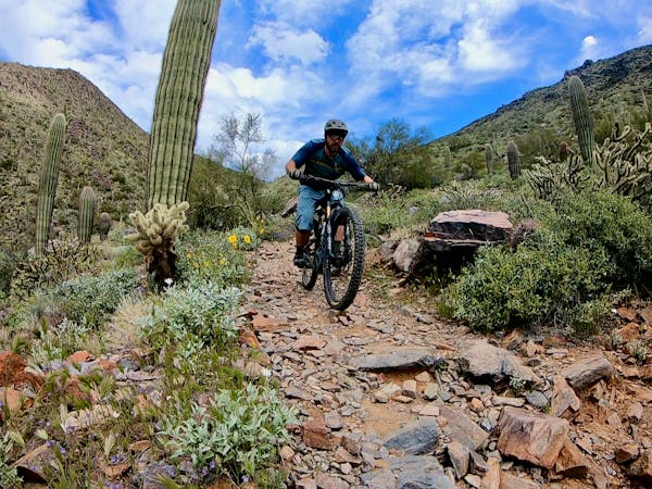
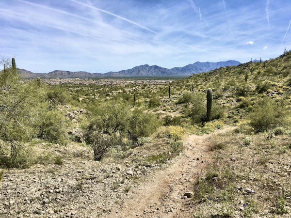
The winding, intricate trail network can feel difficult to navigate at first—even with the maps placed at the trail junctions—but after a few laps, you'll quickly get the hang of it. The trails can be roughly divided into two different varieties—longer, easier cross country trails and short, steep, feature-rich descents. The route mapped here maximizes the fun factor by descending the two most feature-rich trails in the network.
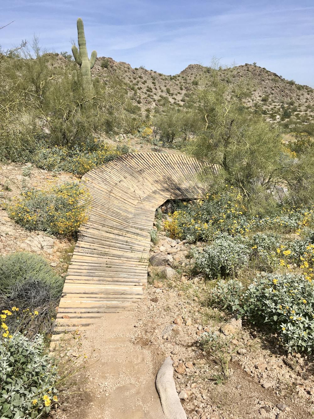
The two iconic descents—Kimurel's Hurl and Harv's Howl—are short but oh-so-sweet! Kickers, tabletops, berms of both dirt and wood, and even a wooden wall ride make the feature list on this surprising gem tucked away in the desert outside of Phoenix. While yes, the descents are short, you can quickly pedal to the top to lap them again and again. Running at least a few laps on each trail is recommended to allow you to truly dial in the trail flow.
While the signs at the top of both of these trails rate them as double black "expert-only" descents, that tech rating is dramatically overblown. At best, these are blue/black descents, and might barely make an intermediate rating by Whistler standards. So even if you aren't an "expert" or even "advanced" mountain biker, it's worth checking out both of these trails, as long as you can ride safely and in control. Be sure to scout the features before you hit them, but don't be dissuaded by the misleading signage.
You can also combine this ride with the longer cross country route (mapped separately) for a solid half-day ride without leaving the FINS Trail System.
Sources: https://issuu.com/mountainflyer/docs/mfi11lr/95 https://www.wanderingjustin.com/arizona-mountain-bike-trail-fins/
Difficult
Mostly stable trail tread with some variability featuring larger and more unavoidable obstacles that may include, but not be limited to: bigger stones, roots, steps, and narrow curves. Compared to lower intermediate, technical difficulty is more advanced and grades of slopes are steeper. Ideal for upper intermediate riders.

The trail contains some obstacles such as outcroppings and rock which could cause injury.

Close to help in case of emergency.
Mellow pedal on mountain bike-optimized singletrack.
Easy Mountain Biking
10 routes · Mountain Biking
8 routes · Mountain Biking