FINS Tech Ride
Two short-but-sweet feature-rich descents at FINS.
Difficult Mountain Biking
- Distance
- 4.8 km
- Ascent
- 60 m
- Descent
- 60 m
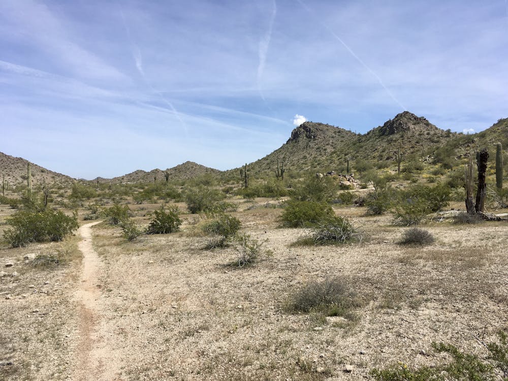
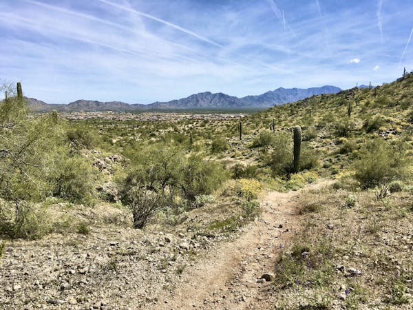
Mellow pedal on mountain bike-optimized singletrack.
Mountain Biking Easy

The "FINS" name—standing for "Fantasy Island North Singletrack"—harkens to the renowned Fantasy Island trail outside the city of Tucson, to the south. This northern trail was originally a renegade trail system built on private land without the authorization of the owner and land developer. While this popular trail network originally had a rocky legal start, it has since been lovingly adopted by the local community. The trails are now as official as they can be, with excellent signage at the entrance, albeit with warnings that the trails are indeed located on private land and that all trail users accept all responsibility and liability for their actions.
Like Fantasy Island to the south, this trail has been made by mountain bikers, for mountain bikers. Horses aren't allowed on this trail system, although it is very popular with hikers and trail runners too.
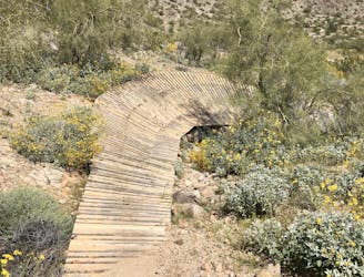
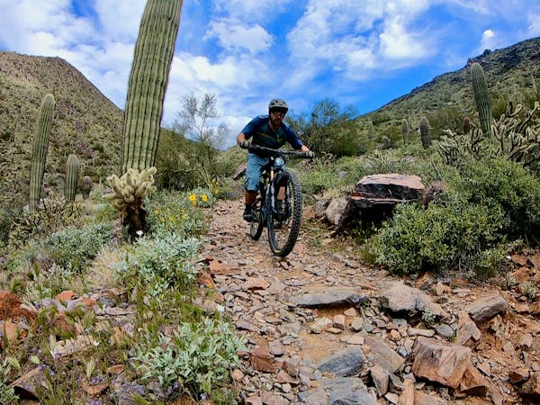
The "by mountain bikers, for mountain bikers" flavor means that there are few straight lines at FINS. "What we have here are twisty, turny, windy trails," writes WanderingJustin. "There's always something happening, and never a dull stretch of trail. Practice your 'yahoo!'"
The winding, intricate trail network can feel difficult to navigate at first—even with the maps placed at the trail junctions—but after a few laps, you'll quickly get the hang of it. The trails can be roughly divided into two different varieties—longer, easier cross country trails and short, steep, feature-rich descents. The route mapped here tries to maximize the mileage in this network and minimize the technicality for a respectable cross country pedal. Whether you're an XC rider looking to cover ground on your hardtail or a beginner mountain biker looking for a mellow pedal in the hills, this ride is for you!
The XC route mapped here can be made more difficult with a few different trail choices, opting for the black diamond lines on Tiki Man and Boneyard instead of the green or blue trails. You can also combine this ride with the tougher, more technical trails (mapped separately) for a solid half-day ride without leaving the FINS Trail System.
Sources: https://issuu.com/mountainflyer/docs/mfi11lr/95 https://www.wanderingjustin.com/arizona-mountain-bike-trail-fins/
Easy
Mostly smooth and non-technical singletrack with unavoidable obstacles 2in/5cm tall or less. Avoidable obstacles may be present. Ideal for beginner riders.

The path is on completely flat land and potential injury is limited to falling over.
Close to help in case of emergency.
Two short-but-sweet feature-rich descents at FINS.
Difficult Mountain Biking
10 routes · Mountain Biking
8 routes · Mountain Biking