462 m away
Black Rock Loop & Waterfall Trail
A short trail run in White Tank Regional Park with ancient petroglyphs and a rock waterfall.
Moderate Trail Running
- Distance
- 3.7 km
- Ascent
- 57 m
- Descent
- 57 m
This is arguably the most epic trail running loop near Phoenix.
Trail Running Severe

A quick search for running in Phoenix will often lead to the popular summits of Camelback Mountain, Piestewa Peak, and South Mountain. The irony is that White Tank Mountain Regional Park has some of the best hiking, trail running, and mountain biking within an hour of downtown. No other trail run in Phoenix is as remote and wild as this.
For those looking for a shorter run check out the Mesquite/Willow Canyon Loop. It's an excellent introduction to White Tank Regional Park and fewer miles.
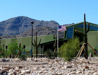
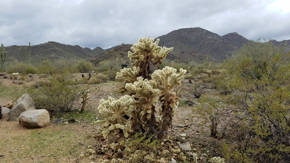
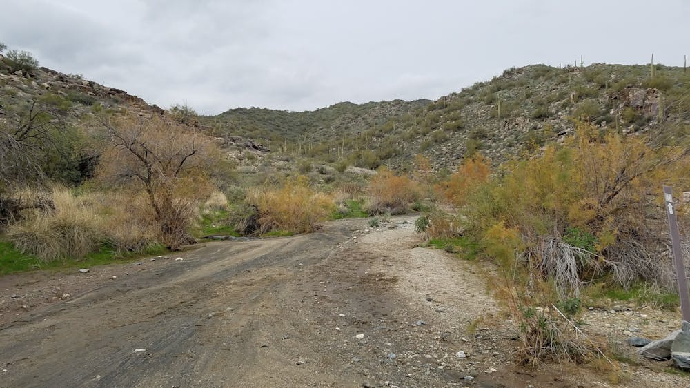
This loop can be run in either direction. There is no water at the trailhead, but the Ramada slightly up the road has both drinking water and restrooms. There is also no water available along the loop. Bring a hydration pack and do not underestimate the amount of water you will consume. Near the trailhead, you will also find an abundance of weathered saguaro and teddy bear cholla - named for the almost "furry" appearance of their needles.
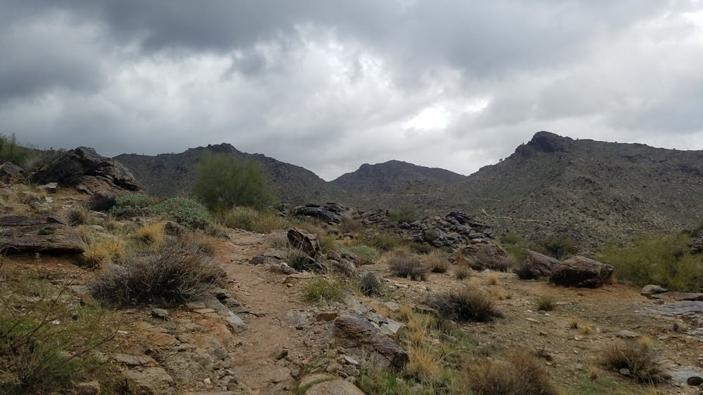
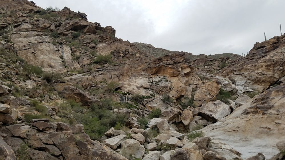
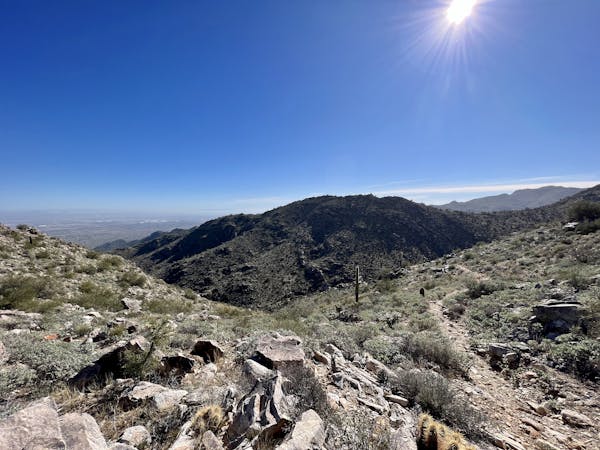
If run counter-clockwise, Ford Canyon Trail comes first. You begin with a nice warm up along the desert floor before a demanding climb up a narrow canyon. As you ascend, you'll pass through sandy washes and scramble through fields of boulders.
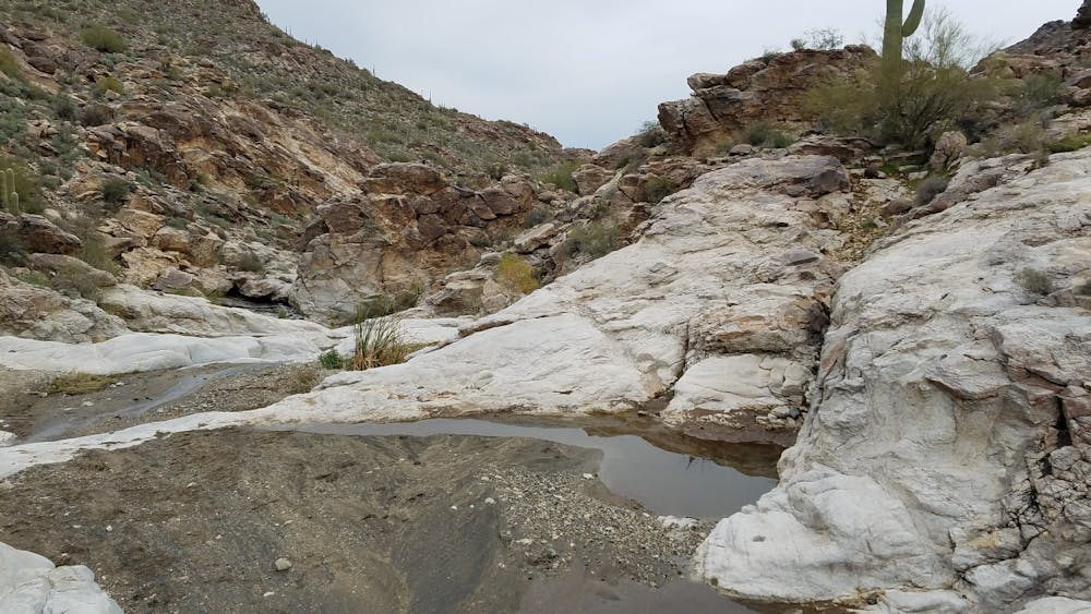
The mountain range earned its name from the "number of depressions or "tanks" in the white granite near the base of the mountains", according to Wikipedia. As you climb up Ford Canyon, you'll encounter many of them. Monsoon season occurs in the warmest months and is when you can typically find these "tanks" full of water. During the remainder of the year, they are often dry.
As you continue up the canyon, pay close attention to the trail markings. Several smaller canyons lead to the north and west and can be difficult to navigate.
At the intersection with Willow Canyon, the route leads into the Goat Camp Trail - the most scenic portion of the run. Should you want to bail or shorten the route, head down Willow Canyon Trail back to the Ramada.
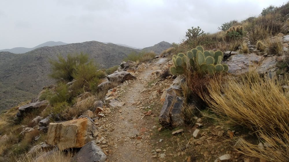
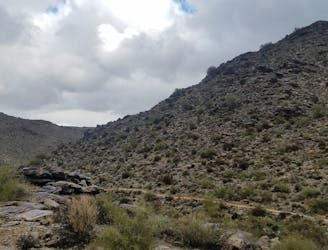
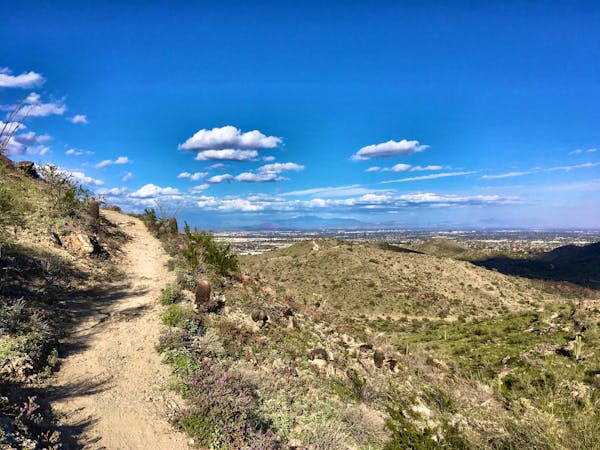
As you continue southbound on Goat Camp, the trail begins to hug the contours of the mountain as it gradually climbs. Along the way, you'll encounter several vistas to the east. At times, you can even see parts of Phoenix in the distance.
After cresting a final high point, the trail descends into another canyon. This portion of the route can feel extremely secluded and in the cooler months, you will likely be sharing the solitude with local wildlife that graze nearby.
As you reach the bottom of Goat Camp, the rocks transition to sandy washes as you approach the road. Follow the Bajada Trail to return to your vehicle.
Severe

Some trail sections have exposed ledges or steep ascents/descents where falling could cause serious injury.
Little chance of being seen or helped in case of an accident.
462 m away
A short trail run in White Tank Regional Park with ancient petroglyphs and a rock waterfall.
Moderate Trail Running
1.3 km away
A remote and beautiful trail run through the rugged White Tank Mountains.
Difficult Trail Running
9 routes · Trail Running
6 routes · Mountain Biking · Hiking · Trail Running