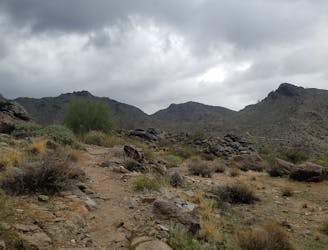
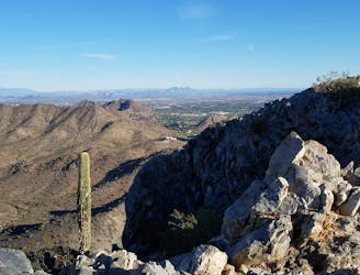
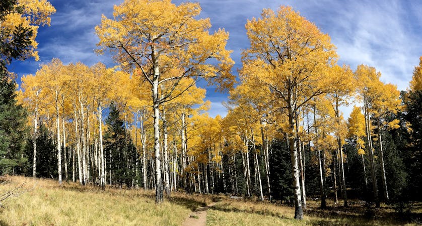
Pearl Charles Trail
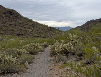
An excellent intermediate trail run beginning at Dreamy Draw Recreation Area.
Moderate Trail Running
- Distance
- 8.7 km
- Ascent
- 336 m
- Descent
- 336 m
Whether you’re in town for work or a local looking for a change in scenery, these are some of the top trail runs around the valley.
Trail Running Moderate, Difficult, Severe
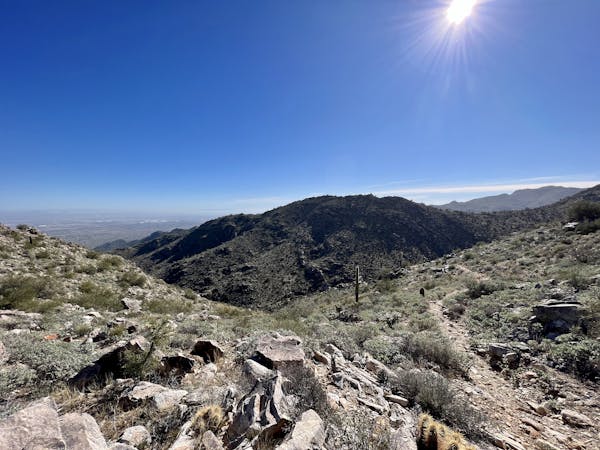
Home to over 4.5 million people, the Phoenix metropolitan area boasts an incredible amount of trail that most underestimate. Countless preserves and parks blanket the valley including the massive 16,000-acre South Mountain Park, the largest municipal park in the United States. In addition to it, this guidebook focuses on three other areas: Phoenix Mountain Preserve, Sonoran Preserve, and White Tank Regional Park.
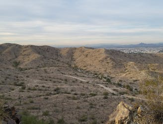
One of the most popular trailheads on South Mountain lies less than 15 minutes from the airport and Tempe. The South Mountain Eastern Sampler is one of the best ways to explore the mountain as it offers incredible views from the Marcos de Niza Trail and visits the infamous Fat Man’s Pass, a narrow passage through a field of boulders. For those seeking a shorter run, the Pima East and West loops never venture too far from the trailhead.
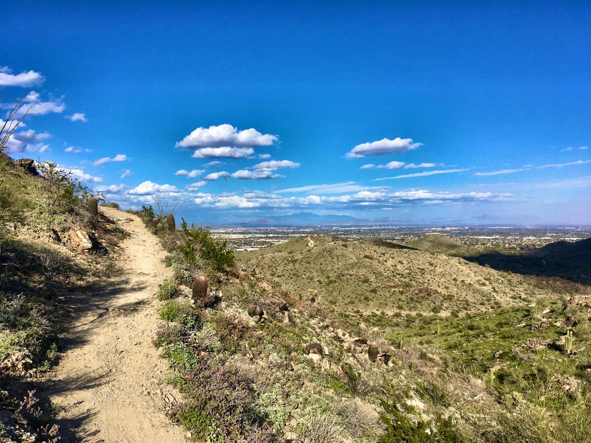
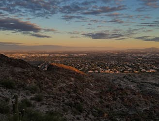
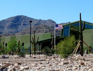
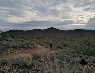
Phoenix Mountains Preserve, nicknamed “PMP” by locals, is located just north of town. Prior to its status as a protected preserve, the area was home to several mines whose remnants can still be found. Rumors of mine entrances have circled through the community, but few people claim to know where they are at. In addition to the Pearl Charles and Freedom Trails, the summit trail to Piestewa Peak provides an intense climb to some of the best views in town. Get an early start though, because it is also one of the top 5 hikes in the valley.
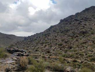
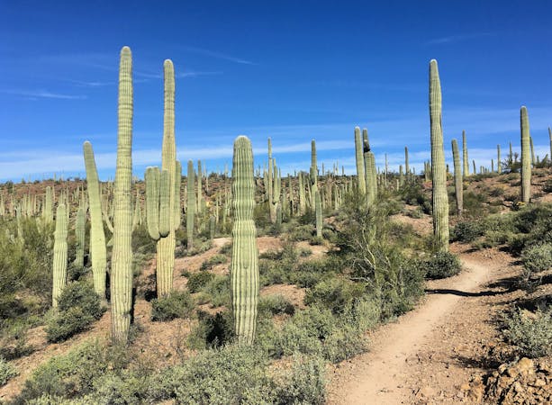
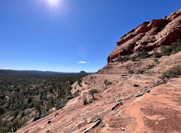
White Tank Regional Park is located in the western valley, slightly less than an hour from Downtown. As you drive west out of town, the high-rise buildings gradually give way to industrial suburbs before transitioning to farmlands near the park. The Ford Canyon/Goat Camp loop is one of the most wild and rugged trail runs around the valley. At just over 15 miles, the trail climbs almost 2,500’ and pays visit to the wild and remote canyons within the range. If that’s beyond reach, the Mesquite/Willow Canyon loop provides a similar feel at just 8.5 miles. For an even shorter run, check out the Black Rock Loop and Waterfall Trail.
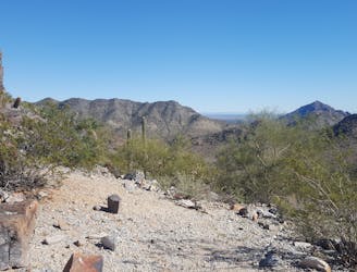
The final piece of the puzzle lies in the Sonoran Desert Preserve, located north of town just near Interstate 17. Due to the other larger parks and preserves in the valley, this trail network unfortunately doesn’t always get the credit it deserves. While there is still plenty of elevation gain, this is perhaps one of the more beginner friendly regions in the valley, specifically the Ocotillo/Sindwinder loop, arguably best visited at dusk or dawn. Bang for the buck, this area provides some of the most attainable views without any substantial climbs.
An excellent intermediate trail run beginning at Dreamy Draw Recreation Area.
Moderate Trail Running
A short trail run around the base of Piestewa Peak.
Moderate Trail Running
A comprehensive trail running route on the eastern portion of South Mountain.
Difficult Trail Running
This is arguably the most epic trail running loop near Phoenix.
Severe Trail Running
A short trail run in White Tank Regional Park with ancient petroglyphs and a rock waterfall.
Moderate Trail Running
A short trail run originating from the Pima Canyon Trailhead.
Moderate Trail Running
A remote and beautiful trail run through the rugged White Tank Mountains.
Difficult Trail Running
A classic run with 360-degree views atop Piestewa Peak.
Difficult Trail Running
A staple trail running loop starting at the Desert Hills Trailhead.
Moderate Trail Running
11 routes · Trail Running
7 routes · Hiking · Trail Running

17 routes · Hiking · Trail Running
10 routes · Trail Running
10 routes · Trail Running
6 routes · Mountain Biking · Hiking · Trail Running