1 m away
Ozark Highlands Trail: Lake Fort Smith to White Rock Recreation Area
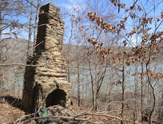
The Ozark Highlands Trail is an epic 164-mile long hiking trail across northern Arkansas in the Ozark Mountains.
Moderate Hiking
- Distance
- 27 km
- Ascent
- 1 km
- Descent
- 621 m
Large loop in Northern Arkansas that consist of the Ozark Highlands Trail, and Madison 4275. With beautiful rivers and streams, large wildlife, and peak climbs, its truly a master peace to behold
Hiking Severe

This is a popular hiking route which is generally considered to be severe. It's very remote, it features medium exposure and is typically done between September and May. From a low point of 199 m to the maximum altitude of 748 m, the route covers 408 km, 7011 vertical metres of ascent and 7033 vertical metres of descent.
Consist of the Ozark Highlands Trail, stretching across the Ozark Mountains of Northern Arkansas, and Madison 4275, and large backroads, with wildlife, peak hikes, and large vegetation, its truly a sight to behold
Severe
Hiking challenging trails where simple scrambling, with the occasional use of the hands, is a distinct possibility. The trails are often filled with all manner of obstacles both small and large, and the hills are very steep. Obstacles and challenges are often unexpected and can be unpredictable.

The trail contains some obstacles such as outcroppings and rock which could cause injury.

Little chance of being seen or helped in case of an accident.
1 m away
The Ozark Highlands Trail is an epic 164-mile long hiking trail across northern Arkansas in the Ozark Mountains.
Moderate Hiking

8 routes · Hiking