2.4 km away
Bluejay
A grade level below Lucky 13’s challenges.
Moderate Mountain Biking
- Distance
- 3.7 km
- Ascent
- 100 m
- Descent
- 100 m
Fun old school singletrack with minimal elevation gain.
Mountain Biking Easy

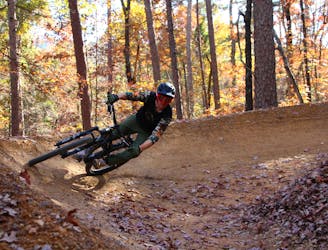
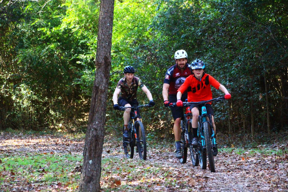
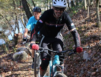
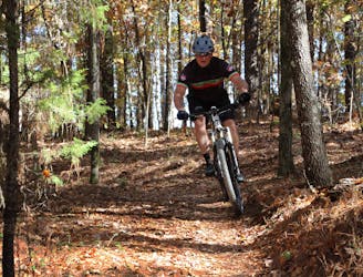
Cedar Glades Trail (CGT) consists of old school singletrack where your speed is only limited by how fast you can pedal, because there isn’t a lot of elevation gain to power your descent.
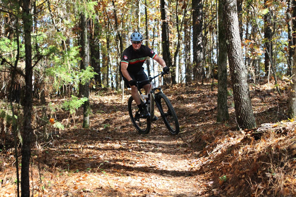
However, there are several gradual hills that make for long, fun descents that meander through pine forests, with some natural undulating terrain where you can grab some small air.
The trail is smooth without a lot of rocks and is very well maintained. It crosses several small creeks, most of which can be easily ridden across. For the larger crossings, there are bridges.
Overall this is not a technical trail—it's great for beginners, but the more experienced cyclists will enjoy the raw speed they can generate racing across the hillsides on the smooth surfaces.
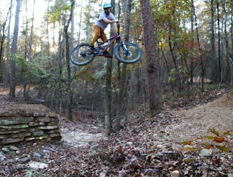
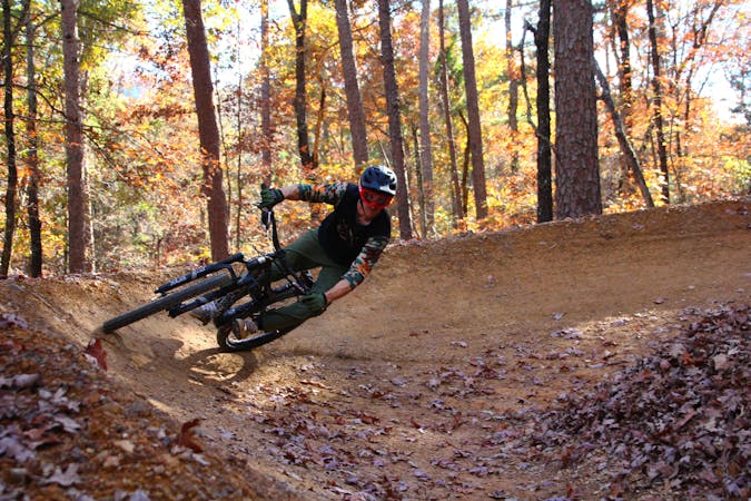
CGT also has a connector trail linking it up to the Northwoods Trail System, which began construction in late 2018. When finished, this network will comprise 44 miles of super fast, technical, professionally-built singletrack loaded with jumps, gaps, and challenging downhill.
CGT is also on the outskirts of the resort city of Hot Springs, which offers horse racing, fine dining, and spa centers. The region is well-worth a visit!
Easy
Mostly smooth and non-technical singletrack with unavoidable obstacles 2in/5cm tall or less. Avoidable obstacles may be present. Ideal for beginner riders.

The path is on completely flat land and potential injury is limited to falling over.
Close to help in case of emergency.
2.4 km away
A grade level below Lucky 13’s challenges.
Moderate Mountain Biking
2.4 km away
Flowy scenic singletrack that encircles the many interconnecting trails of Northwoods’ West section.
Moderate Mountain Biking
2.4 km away
This is the trail that for many will make the long drive to ride worthwhile.
Extreme Mountain Biking
2.4 km away
Flowy singletrack through dense pine forests.
Easy Mountain Biking
6 routes · Mountain Biking