


819 m away
Lake Leatherwood Gravity Trail Project: DH 1

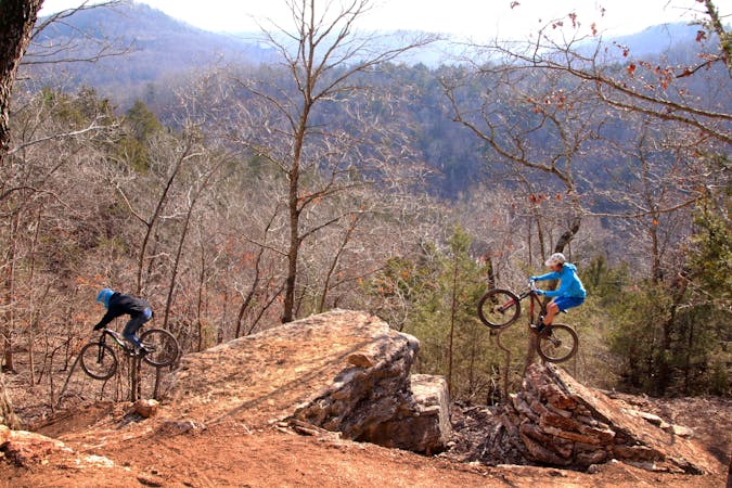
Lake Leatherwood Gravity Trail Project has seven, shuttle-supported, feature-packed downhill runs of around 1 mile each, and they are heavy on the black diamonds.
Severe Mountain Biking
- Distance
- 9.6 km
- Ascent
- 332 m
- Descent
- 329 m